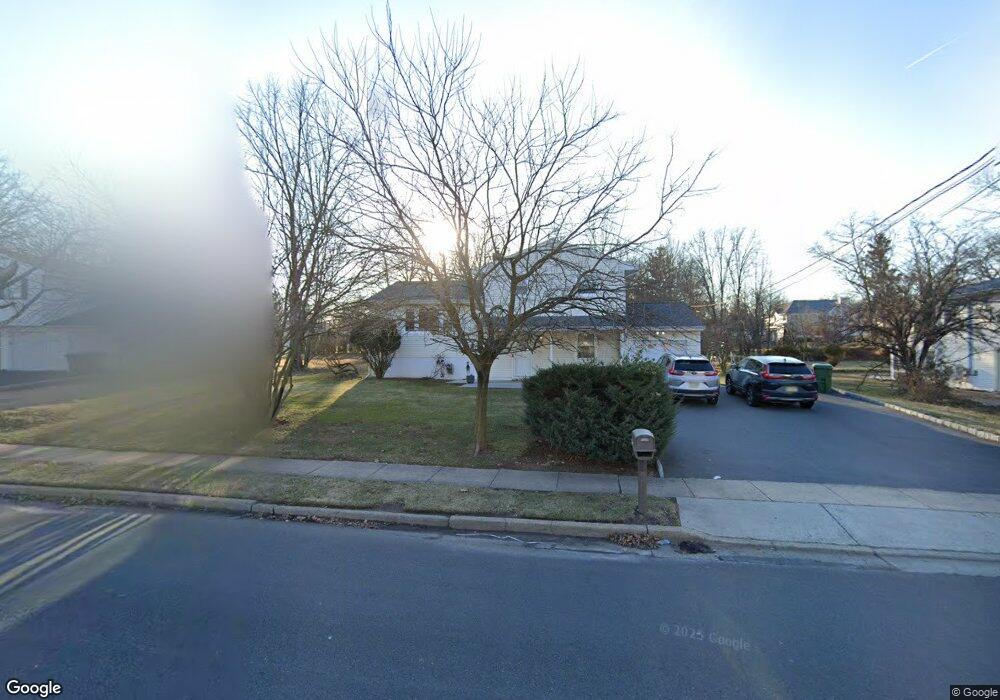
579 Wood Ave Unit n/a Edison, NJ 08820
Estimated Value: $741,362 - $861,000
4
Beds
2
Baths
1,652
Sq Ft
$491/Sq Ft
Est. Value
About This Home
This home is located at 579 Wood Ave Unit n/a, Edison, NJ 08820 and is currently estimated at $811,841, approximately $491 per square foot. 579 Wood Ave Unit n/a is a home located in Middlesex County with nearby schools including James Madison Primary School, James Madison Intermediate School, and John Adams Middle School.
Ownership History
Date
Name
Owned For
Owner Type
Purchase Details
Closed on
Dec 9, 2024
Sold by
579 Wood Avenue Inc
Bought by
Mansuri Suhail and Trivedi Puja
Current Estimated Value
Purchase Details
Closed on
Oct 6, 2010
Sold by
Elmorshedy Ibrahim
Bought by
Bank United
Create a Home Valuation Report for This Property
The Home Valuation Report is an in-depth analysis detailing your home's value as well as a comparison with similar homes in the area
Home Values in the Area
Average Home Value in this Area
Purchase History
| Date | Buyer | Sale Price | Title Company |
|---|---|---|---|
| Mansuri Suhail | -- | Fidelity National Title | |
| Mansuri Suhail | -- | Fidelity National Title | |
| Mansuri Suhail | -- | Fidelity National Title | |
| Bank United | -- | None Available |
Source: Public Records
Tax History Compared to Growth
Tax History
| Year | Tax Paid | Tax Assessment Tax Assessment Total Assessment is a certain percentage of the fair market value that is determined by local assessors to be the total taxable value of land and additions on the property. | Land | Improvement |
|---|---|---|---|---|
| 2025 | $10,858 | $182,400 | $105,600 | $76,800 |
| 2024 | $10,800 | $182,400 | $105,600 | $76,800 |
| 2023 | $10,800 | $182,400 | $105,600 | $76,800 |
| 2022 | $10,804 | $182,400 | $105,600 | $76,800 |
| 2021 | $10,767 | $182,400 | $105,600 | $76,800 |
| 2020 | $10,669 | $182,400 | $105,600 | $76,800 |
| 2019 | $10,265 | $182,400 | $105,600 | $76,800 |
| 2018 | $10,017 | $182,400 | $105,600 | $76,800 |
| 2017 | $9,806 | $182,400 | $105,600 | $76,800 |
| 2016 | $9,623 | $182,400 | $105,600 | $76,800 |
| 2015 | $9,255 | $182,400 | $105,600 | $76,800 |
| 2014 | $8,985 | $182,400 | $105,600 | $76,800 |
Source: Public Records
Map
Nearby Homes
- 64 W Francis St
- 47 Preston Rd
- 38 Revere Blvd
- 35 Revere Blvd
- 39 Lowell St
- 199 E Louis Place
- 12 W Clark Place
- 212 E Louis Place
- 53 Sterling Dr
- 344 Charles St
- 237 E George Place
- 266 Amherst Ave
- 128 Trento St
- 87 Ellmyer Rd
- 87 Fiume St
- 265 Correja Ave
- 39 Marlboro Ln
- 98 Trieste St
- 47 Marlboro Ln
- 36 Fiume St
- 579 Wood Ave
- 569 Wood Ave
- 589 Wood Ave
- 2 W Edward St
- 1 W Francis St
- 6 Woodbury Ct
- 6 W Edward St
- 5 W Francis St
- 559 Wood Ave
- 659 New Dover Rd
- 659 New Dover Rd Unit 1
- 659 New Dover Rd Unit 1 & 2
- 530 Wood Ave
- 1 W Edward St
- 10 W Edward St
- 9 W Francis St
- 4 Woodbury Ct
- 12 W Edward St
- 5 W Edward St
- 526 Wood Ave