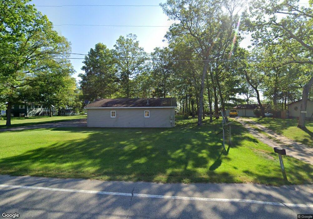
5790 Pear Ave Unit 22 Newaygo, MI 49337
Estimated Value: $246,578 - $372,000
Studio
--
Bath
--
Sq Ft
0.3
Acres
About This Home
This home is located at 5790 Pear Ave Unit 22, Newaygo, MI 49337 and is currently estimated at $283,395. 5790 Pear Ave Unit 22 is a home located in Newaygo County with nearby schools including Vera Wilsie Elementary School, Newaygo Elementary School, and Newaygo Middle School.
Ownership History
Date
Name
Owned For
Owner Type
Purchase Details
Closed on
May 13, 2013
Sold by
Bruggema Christopher C and Bruggema Lori M
Bought by
Dehaan James and Dehaan Margaret E
Current Estimated Value
Purchase Details
Closed on
Jul 29, 2011
Sold by
Sneden Laurie M
Bought by
Bruggema Christopher C
Purchase Details
Closed on
Feb 10, 2011
Sold by
Sneden Owen L and Sneden Laurie M
Bought by
Sneden Laurie M
Purchase Details
Closed on
Sep 24, 2010
Sold by
Cole Michael J and Cole Christine
Bought by
Brugel Ronald L and Brugel Sandra L
Purchase Details
Closed on
Aug 13, 2004
Sold by
Gibson John A and Gibson Mary R
Bought by
Cole Michael J and Cole Chritine
Create a Home Valuation Report for This Property
The Home Valuation Report is an in-depth analysis detailing your home's value as well as a comparison with similar homes in the area
Purchase History
| Date | Buyer | Sale Price | Title Company |
|---|---|---|---|
| Dehaan James | $100,000 | Lighthouse Title Inc | |
| Bruggema Christopher C | $80,000 | -- | |
| Sneden Laurie M | -- | -- | |
| Brugel Ronald L | $7,500 | -- | |
| Sneden Owen L | $117,000 | -- | |
| Cole Michael J | $140,000 | Metropolitan Title Co | |
| Cole Michael J | $140,000 | -- |
Source: Public Records
Tax History
| Year | Tax Paid | Tax Assessment Tax Assessment Total Assessment is a certain percentage of the fair market value that is determined by local assessors to be the total taxable value of land and additions on the property. | Land | Improvement |
|---|---|---|---|---|
| 2025 | $1,056 | $116,200 | $0 | $0 |
| 2024 | $10 | $92,700 | $0 | $0 |
| 2023 | $983 | $85,400 | $0 | $0 |
| 2022 | $1,704 | $74,300 | $0 | $0 |
| 2021 | $1,659 | $71,100 | $0 | $0 |
| 2020 | $1,675 | $70,700 | $0 | $0 |
| 2019 | $1,680 | $64,100 | $0 | $0 |
| 2018 | $1,684 | $55,200 | $0 | $0 |
| 2017 | $1,653 | $56,000 | $0 | $0 |
| 2016 | $1,615 | $55,400 | $0 | $0 |
| 2015 | -- | $55,200 | $0 | $0 |
| 2014 | -- | $51,400 | $0 | $0 |
Source: Public Records
Map
Nearby Homes
- 5710 Pear Ave
- 5450 Pear Ave
- 5752 E 52nd St
- 5980 Division St
- 5892 S Carrigan Dr
- 5557 Front St
- 5558 King St
- 3990 E Croton Dr
- 4468 Teal Ln
- 6716 Chapman Ave
- 4987 E Manitou Way Unit 37
- 7901 S Potawatomi Unit 56
- 4695 Miramar Ave
- 6830 E Carrigan Dr
- 6771 E 4 Seasons Dr
- 5007 E Manitou Way Unit 36
- 4997 S Croton Hardy Dr
- 3696 S Locust Ave
- 7817 S Potawatomi Ct Unit 60
- 5900 E 36th St
Your Personal Tour Guide
Ask me questions while you tour the home.