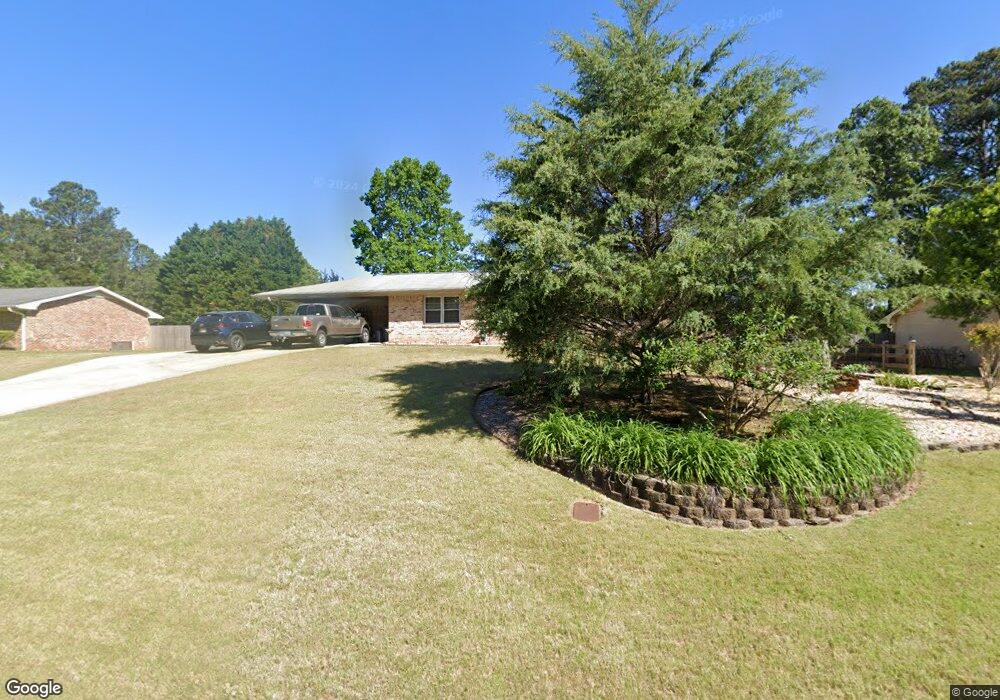
5793 Forrest Rd Stone Mountain, GA 30087
Smoke Rise NeighborhoodEstimated Value: $300,056 - $335,000
3
Beds
2
Baths
1,480
Sq Ft
$218/Sq Ft
Est. Value
About This Home
This home is located at 5793 Forrest Rd, Stone Mountain, GA 30087 and is currently estimated at $323,014, approximately $218 per square foot. 5793 Forrest Rd is a home located in Gwinnett County with nearby schools including Camp Creek Elementary School, Trickum Middle School, and Parkview High School.
Ownership History
Date
Name
Owned For
Owner Type
Purchase Details
Closed on
Aug 21, 1998
Sold by
Middour Virginia Rivers
Bought by
Wilson Bryson S and Wilson Heather L
Current Estimated Value
Home Financials for this Owner
Home Financials are based on the most recent Mortgage that was taken out on this home.
Original Mortgage
$88,350
Outstanding Balance
$17,939
Interest Rate
6.91%
Mortgage Type
New Conventional
Estimated Equity
$305,075
Create a Home Valuation Report for This Property
The Home Valuation Report is an in-depth analysis detailing your home's value as well as a comparison with similar homes in the area
Home Values in the Area
Average Home Value in this Area
Purchase History
| Date | Buyer | Sale Price | Title Company |
|---|---|---|---|
| Wilson Bryson S | $93,000 | -- |
Source: Public Records
Mortgage History
| Date | Status | Borrower | Loan Amount |
|---|---|---|---|
| Open | Wilson Bryson S | $88,350 |
Source: Public Records
Tax History
| Year | Tax Paid | Tax Assessment Tax Assessment Total Assessment is a certain percentage of the fair market value that is determined by local assessors to be the total taxable value of land and additions on the property. | Land | Improvement |
|---|---|---|---|---|
| 2025 | $2,931 | $110,040 | $22,200 | $87,840 |
| 2024 | $3,056 | $110,760 | $22,200 | $88,560 |
| 2023 | $3,056 | $106,760 | $24,000 | $82,760 |
| 2022 | $2,189 | $89,240 | $24,000 | $65,240 |
| 2021 | $2,189 | $69,960 | $17,200 | $52,760 |
| 2020 | $1,853 | $69,960 | $17,200 | $52,760 |
| 2019 | $1,853 | $63,440 | $14,000 | $49,440 |
| 2018 | $1,954 | $60,560 | $14,000 | $46,560 |
| 2016 | $1,845 | $54,400 | $14,000 | $40,400 |
| 2015 | $1,752 | $49,680 | $14,000 | $35,680 |
| 2014 | $1,621 | $43,440 | $14,000 | $29,440 |
Source: Public Records
Map
Nearby Homes
- 886 Oakhill Ct
- 771/761 Mountainbrooke Cir SW
- 771 Mountainbrooke Cir SW
- 353 Old Rosser Rd
- 5798 Musket Ln
- 292 Old Rosser Rd
- 717 Oxford Ct SW
- 5523 Bahia Mar Cir
- 262 Harmony Grove Rd
- 5521 E Wind Dr SW
- 6068 Dee Ct
- 2121 Skytop Dr
- 5464 Breathitt Dr SW
- 127 Roe Hampton Ln
- 5781 Four Winds Dr SW Unit 1B
- 2350 Oxbow Cir
- 228 Amour Way SW
- 127 Old Rosser Rd SW
- 1809 Silver Ridge Ct
- 224 Abri Place SW
- 5783 Forrest Rd
- 654 Old Tucker Rd
- 5773 Forrest Rd
- 5794 Forrest Rd
- 674 Old Tucker Rd
- 5784 Forrest Rd
- 5763 Forrest Rd
- 5774 Forrest Rd
- 684 Old Tucker Rd
- 5753 Forrest Rd
- 645 Old Tucker Rd
- 687 Rollingwood Place
- 694 Old Tucker Rd
- 608 Old Tucker Rd
- 615 Old Tucker Rd
- 5754 Forrest Rd
- 5743 Forrest Rd Unit 7
- 5743 Forrest Rd
- 704 Old Tucker Rd
- 697 Rollingwood Place