Estimated Value: $225,000 - $243,000
3
Beds
2
Baths
1,220
Sq Ft
$192/Sq Ft
Est. Value
About This Home
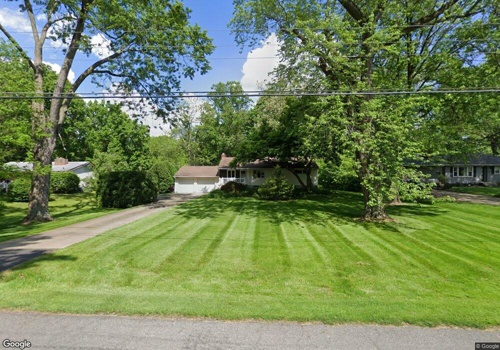
This home is located at 5795 Dailey Rd, Akron, OH 44319 and is currently estimated at $233,874, approximately $191 per square foot. 5795 Dailey Rd is a home located in Summit County with nearby schools including Nolley Elementary School, Manchester Middle School, and Manchester High School.
Ownership History
Date
Name
Owned For
Owner Type
Purchase Details
Closed on
Dec 19, 2017
Sold by
Anderson Betsy J
Bought by
Anderson Betsy J and The Betsy J Anderson Revocable Trust
Current Estimated Value
Purchase Details
Closed on
Jul 24, 2003
Sold by
Anderson Gerald B and Anderson Betsy J
Bought by
Anderson Betsy J
Purchase Details
Closed on
Nov 19, 2001
Sold by
Anderson Gerald B and Anderson Betsy J
Bought by
Anderson Gerald B and Anderson Betsy J
Create a Home Valuation Report for This Property
The Home Valuation Report is an in-depth analysis detailing your home's value as well as a comparison with similar homes in the area
Home Values in the Area
Average Home Value in this Area
Purchase History
We collect this data history from publicly available records. To have your information removed, we recommend requesting removal directly through your county’s website.
| Date | Buyer | Sale Price | Title Company |
|---|---|---|---|
| Anderson Betsy J | -- | None Available | |
| Anderson Betsy J | -- | -- | |
| Anderson Gerald B | -- | -- |
Source: Public Records
Tax History
| Year | Tax Paid | Tax Assessment Tax Assessment Total Assessment is a certain percentage of the fair market value that is determined by local assessors to be the total taxable value of land and additions on the property. | Land | Improvement |
|---|---|---|---|---|
| 2025 | $2,675 | $62,069 | $17,542 | $44,527 |
| 2024 | $2,641 | $62,069 | $17,542 | $44,527 |
| 2023 | $2,641 | $62,069 | $17,542 | $44,527 |
| 2022 | $2,261 | $44,024 | $12,443 | $31,581 |
| 2021 | $2,269 | $44,024 | $12,443 | $31,581 |
| 2020 | $2,230 | $44,020 | $12,440 | $31,580 |
| 2019 | $2,206 | $40,010 | $10,160 | $29,850 |
| 2018 | $1,903 | $40,010 | $10,160 | $29,850 |
| 2017 | $1,775 | $40,010 | $10,160 | $29,850 |
| 2016 | $1,754 | $35,160 | $10,160 | $25,000 |
| 2015 | $1,775 | $35,160 | $10,160 | $25,000 |
| 2014 | $1,761 | $35,160 | $10,160 | $25,000 |
| 2013 | $1,845 | $36,560 | $10,160 | $26,400 |
Source: Public Records
Map
Nearby Homes
- 568 W Nimisila Rd
- 5261 Dailey Rd
- 5638 Bonnie Lou Dr
- 5838 Harter Home Dr
- 120 Center Rd
- 134 Center Rd
- 5922 Noreast Dr
- 408 Center Rd
- 6235 Manchester Rd
- 6308 Manchester Rd
- 752 Leeman Dr
- 0 W Comet Rd Unit 5079117
- 6090 Manchester Rd Unit 6096
- 5849 Iva Dr
- 8854 Timberlink Rd NW
- 5042 Laddie Dr
- 5008 Laddie Dr
- 5912 Woodward Dr
- 4 Shrakes Hotel Dr
- 6 Shrakes Hotel Dr
Your Personal Tour Guide
Ask me questions while you tour the home.