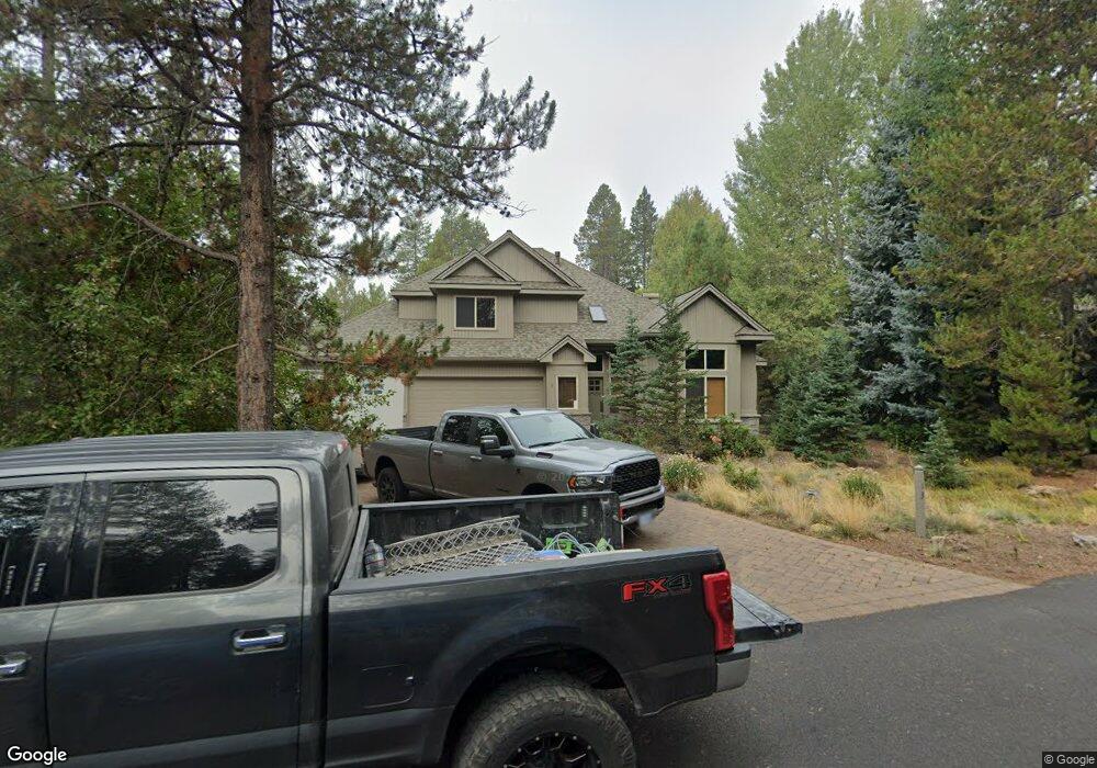
57959-13 Bunker Ln Sunriver, OR 97707
Estimated Value: $1,340,000 - $1,422,005
4
Beds
3
Baths
2,650
Sq Ft
$520/Sq Ft
Est. Value
About This Home
This home is located at 57959-13 Bunker Ln, Sunriver, OR 97707 and is currently estimated at $1,378,002, approximately $520 per square foot. 57959-13 Bunker Ln is a home located in Deschutes County with nearby schools including Elk Meadow Elementary School, Cascade Middle School, and Summit High School.
Ownership History
Date
Name
Owned For
Owner Type
Purchase Details
Closed on
Aug 26, 2022
Sold by
Wilhelmsen Family Trust
Bought by
Cfja Trust
Current Estimated Value
Purchase Details
Closed on
Jan 16, 2020
Sold by
Thompson Terry M and Thompson Janice M
Bought by
Wilhelmsen Christian and Wilhelmsen Susan Kay
Home Financials for this Owner
Home Financials are based on the most recent Mortgage that was taken out on this home.
Original Mortgage
$335,000
Interest Rate
3.73%
Mortgage Type
New Conventional
Purchase Details
Closed on
May 21, 2019
Sold by
Thompson Terry M and Thompson Janice M
Bought by
Terry And Janice Thompson Trust
Create a Home Valuation Report for This Property
The Home Valuation Report is an in-depth analysis detailing your home's value as well as a comparison with similar homes in the area
Home Values in the Area
Average Home Value in this Area
Purchase History
| Date | Buyer | Sale Price | Title Company |
|---|---|---|---|
| Cfja Trust | $1,400,000 | First American Title | |
| Wilhelmsen Christian | $825,000 | First American Title | |
| Terry And Janice Thompson Trust | -- | None Available |
Source: Public Records
Mortgage History
| Date | Status | Borrower | Loan Amount |
|---|---|---|---|
| Previous Owner | Wilhelmsen Christian | $335,000 |
Source: Public Records
Tax History Compared to Growth
Tax History
| Year | Tax Paid | Tax Assessment Tax Assessment Total Assessment is a certain percentage of the fair market value that is determined by local assessors to be the total taxable value of land and additions on the property. | Land | Improvement |
|---|---|---|---|---|
| 2024 | $10,677 | $710,480 | -- | -- |
| 2023 | $10,345 | $689,790 | $0 | $0 |
| 2022 | $9,628 | $650,200 | $0 | $0 |
| 2021 | $9,439 | $631,270 | $0 | $0 |
| 2020 | $8,922 | $631,270 | $0 | $0 |
| 2019 | $8,671 | $612,890 | $0 | $0 |
| 2018 | $8,420 | $595,040 | $0 | $0 |
| 2017 | $8,164 | $577,710 | $0 | $0 |
| 2016 | $7,764 | $560,890 | $0 | $0 |
| 2015 | $7,571 | $544,560 | $0 | $0 |
| 2014 | $7,334 | $528,700 | $0 | $0 |
Source: Public Records
Map
Nearby Homes
- 57958 Bunker Ln Unit 2
- 57996 Mulligan Ln
- 57925 Eaglewood
- 57985 Eaglewood Unit 2
- 57815 Shag Bark Ln
- 17772 W Core Rd Unit 19
- 17760 W Core Rd Unit 16
- 17940 Shadow Ln Unit 6
- 17948 Shadow Ln Unit 7
- 17921 Foursome Ln Unit 8
- 17956 Shadow Ln Unit 9
- 58052 Five Iron Ln
- 17915 Foursome Ln
- 17754 Topflite Ln Unit 3
- 17745 Sarazen Ln Unit 7
- 18016 White Alder Ln Unit 1
- 58094 5 Iron Ln Unit 1
- 17800 Big Leaf Ln Unit 24
- 18125 Belknap Ln Unit 5
- 58026 Kinglet Rd