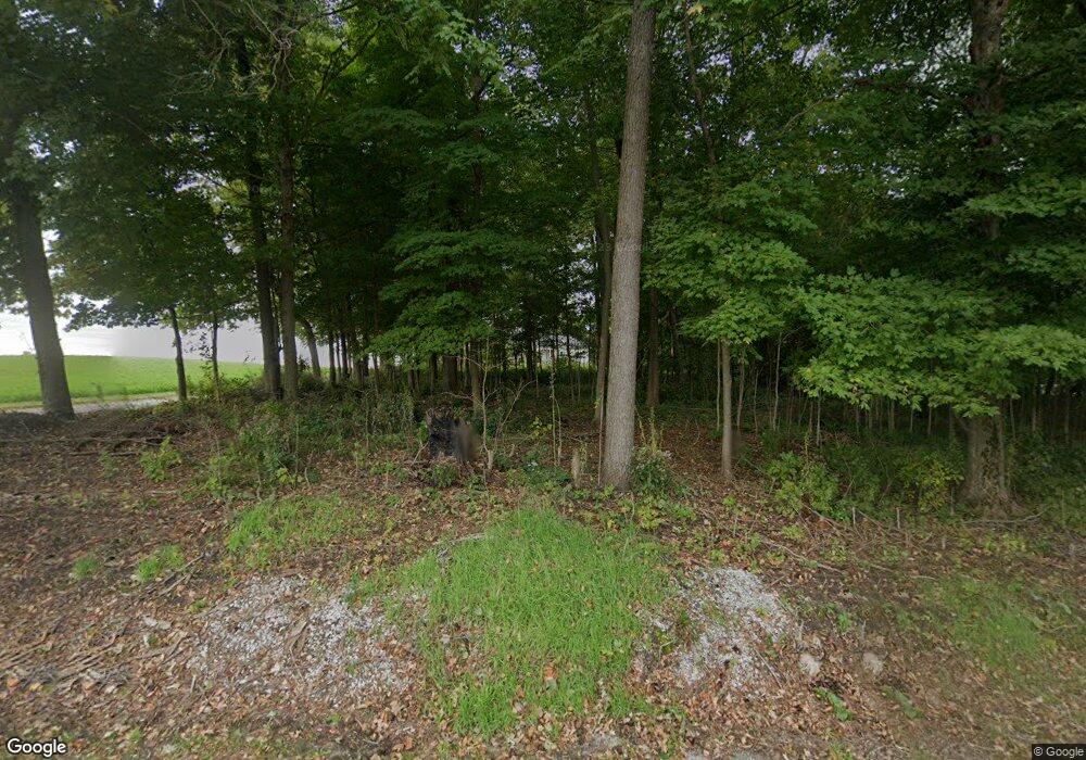
5796 E 700 N Rolling Prairie, IN 46371
Estimated Value: $445,000 - $599,191
4
Beds
3
Baths
2,370
Sq Ft
$215/Sq Ft
Est. Value
About This Home
This home is located at 5796 E 700 N, Rolling Prairie, IN 46371 and is currently estimated at $508,730, approximately $214 per square foot. 5796 E 700 N is a home with nearby schools including New Prairie High School.
Ownership History
Date
Name
Owned For
Owner Type
Purchase Details
Closed on
Oct 25, 2024
Sold by
Mayes Jeremy D
Bought by
Mayes Morgan S and Mrozinski Morgan Sue
Current Estimated Value
Home Financials for this Owner
Home Financials are based on the most recent Mortgage that was taken out on this home.
Original Mortgage
$395,326
Interest Rate
6.6%
Mortgage Type
New Conventional
Create a Home Valuation Report for This Property
The Home Valuation Report is an in-depth analysis detailing your home's value as well as a comparison with similar homes in the area
Purchase History
| Date | Buyer | Sale Price | Title Company |
|---|---|---|---|
| Mayes Morgan S | -- | None Listed On Document | |
| Mayes Morgan S | -- | None Listed On Document |
Source: Public Records
Mortgage History
| Date | Status | Borrower | Loan Amount |
|---|---|---|---|
| Previous Owner | Mayes Morgan S | $395,326 |
Source: Public Records
Tax History
| Year | Tax Paid | Tax Assessment Tax Assessment Total Assessment is a certain percentage of the fair market value that is determined by local assessors to be the total taxable value of land and additions on the property. | Land | Improvement |
|---|---|---|---|---|
| 2025 | $4,477 | $435,200 | $41,500 | $393,700 |
| 2024 | $3,455 | $410,400 | $41,600 | $368,800 |
| 2023 | $3,376 | $324,000 | $41,300 | $282,700 |
| 2022 | $4,058 | $359,400 | $41,100 | $318,300 |
| 2021 | $3,909 | $339,000 | $41,100 | $297,900 |
| 2020 | $4,455 | $339,000 | $41,100 | $297,900 |
| 2019 | $3,014 | $275,100 | $30,700 | $244,400 |
| 2018 | $2,968 | $267,800 | $30,700 | $237,100 |
| 2017 | $2,636 | $248,200 | $28,300 | $219,900 |
| 2016 | $2,971 | $261,600 | $28,300 | $233,300 |
| 2014 | $5,116 | $260,600 | $20,900 | $239,700 |
Source: Public Records
Map
Nearby Homes
- 0 E Chicago Rd Unit NRA832986
- 0 N Bluebird Ln
- 0 N Balsam Ln Unit NRA832052
- 0 Pansy Ln Unit NRA832051
- 6798 E 350 N
- 0 N Holling Blvd Unit NRA816189
- 6361 E State Road 2
- 7674 Potato Hole Ct
- 8172 E Emery Rd
- 5596 N 300 E
- 0 E John Emery Rd
- 8196 E Walnut Ridge
- 2962 E 850 N
- 55584 County Line Rd
- 55564 County Line Rd
- 55544 County Line Rd
- 55574 County Line Rd
- 55594 County Line Rd
- 8679 E 850 N
- 7428 E 400 N
- 6988 N 600 E
- 6018 E 700 N
- 6118 E 700 N
- 5757 E 650 N
- 5685 E 650 N
- 5633 E 650 N
- 6202 E 700 N
- 5906 E 650 N
- 5521 E 650 N
- 7339 N 600 E
- 5848 E Tioga Trail
- 5792 E Tioga Trail
- 5766 E Tioga Trail
- 5868 E Tioga Trail
- 5892 E Tioga Trail
- 5936 E Tioga Trail
- 5904 E Tioga Trail
- 5926 E Tioga Trail
- 5954 E Tioga Trail
- 5522 E Winona Trail
Your Personal Tour Guide
Ask me questions while you tour the home.
