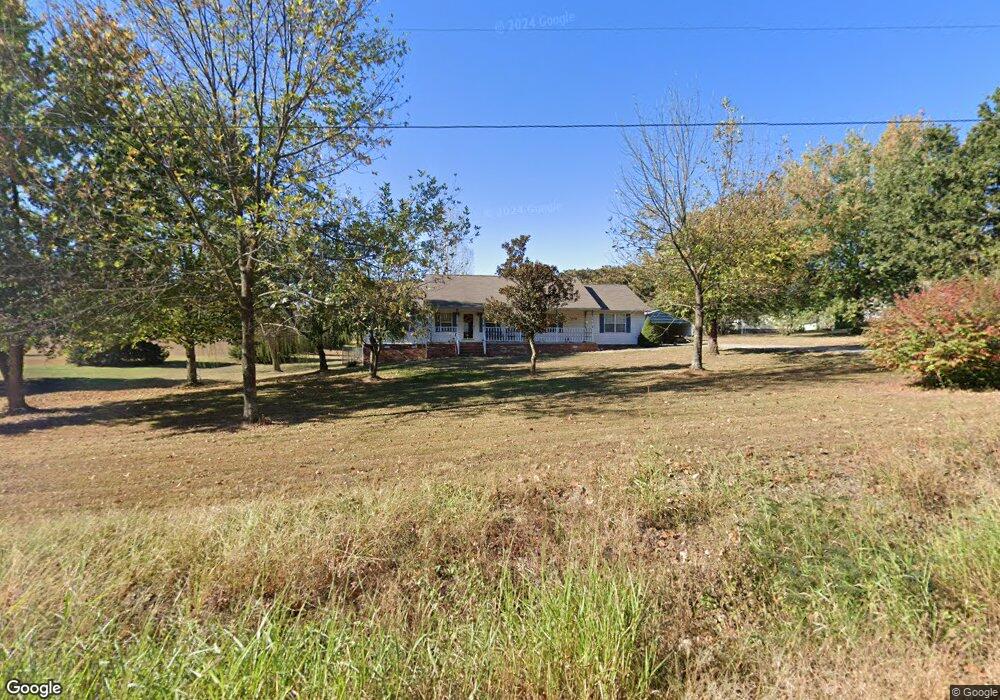
5799 Sand Flat Rd Harrison, AR 72601
Estimated Value: $258,297 - $311,000
3
Beds
2
Baths
1,796
Sq Ft
$162/Sq Ft
Est. Value
About This Home
This home is located at 5799 Sand Flat Rd, Harrison, AR 72601 and is currently estimated at $291,074, approximately $162 per square foot. 5799 Sand Flat Rd is a home located in Boone County with nearby schools including Skyline Heights Elementary School and Harrison Jr. High School.
Ownership History
Date
Name
Owned For
Owner Type
Purchase Details
Closed on
Jan 23, 2009
Sold by
The Castle Hill Group Inc
Bought by
Alford Danny S and Alford Linda L
Current Estimated Value
Purchase Details
Closed on
Aug 24, 2005
Sold by
Dvorak Debby R Schobert and Dvorak Larry L
Bought by
Schobert Dvorak Larry L and Schobert Dvorak Debby E
Home Financials for this Owner
Home Financials are based on the most recent Mortgage that was taken out on this home.
Original Mortgage
$71,000
Interest Rate
5.61%
Mortgage Type
New Conventional
Purchase Details
Closed on
Jun 20, 2002
Bought by
Dvorak
Purchase Details
Closed on
Jun 7, 1999
Bought by
Hunt Liv Trust
Purchase Details
Closed on
Jun 3, 1999
Bought by
Hunt Liv Trust
Purchase Details
Closed on
May 27, 1999
Bought by
Hunt Hunt T and Hunt I
Purchase Details
Closed on
Dec 2, 1996
Bought by
Hunt
Purchase Details
Closed on
Jul 18, 1996
Bought by
Coonts
Create a Home Valuation Report for This Property
The Home Valuation Report is an in-depth analysis detailing your home's value as well as a comparison with similar homes in the area
Purchase History
| Date | Buyer | Sale Price | Title Company |
|---|---|---|---|
| Alford Danny S | $15,000 | Lenders Title Company | |
| Schobert Dvorak Larry L | -- | Boone County Abstract & Titl | |
| Dvorak | $119,000 | -- | |
| Hunt Liv Trust | -- | -- | |
| Hunt Liv Trust | -- | -- | |
| Hunt Hunt T | -- | -- | |
| Hunt | $104,000 | -- | |
| Coonts | $12,000 | -- |
Source: Public Records
Mortgage History
| Date | Status | Borrower | Loan Amount |
|---|---|---|---|
| Previous Owner | Schobert Dvorak Larry L | $71,000 |
Source: Public Records
Tax History
| Year | Tax Paid | Tax Assessment Tax Assessment Total Assessment is a certain percentage of the fair market value that is determined by local assessors to be the total taxable value of land and additions on the property. | Land | Improvement |
|---|---|---|---|---|
| 2025 | $1,194 | $31,120 | $3,000 | $28,120 |
| 2024 | $1,194 | $31,120 | $3,000 | $28,120 |
| 2023 | $1,194 | $31,120 | $3,000 | $28,120 |
| 2022 | $864 | $31,120 | $3,000 | $28,120 |
| 2021 | $864 | $31,120 | $3,000 | $28,120 |
| 2020 | $854 | $27,140 | $3,000 | $24,140 |
| 2019 | $872 | $27,140 | $3,000 | $24,140 |
| 2018 | $897 | $27,140 | $3,000 | $24,140 |
| 2017 | $879 | $27,140 | $3,000 | $24,140 |
| 2016 | $879 | $26,650 | $3,000 | $23,650 |
| 2015 | $1,194 | $26,650 | $3,000 | $23,650 |
| 2014 | $844 | $26,650 | $3,000 | $23,650 |
Source: Public Records
Map
Nearby Homes
- 2539 Ridgeway Loop N
- 2758 Center Loop
- 350 Devitos Loop
- 8764 U S 62
- 9513 U S 62
- 10147 Quincy Ln
- 11175 Arkansas 392
- 10145 Widner Rd
- 90 acres Elmwood Springs Rd W
- 135 acres Elmwood Springs Rd W
- 2259 Ledge Rock Rd
- 14899 Tom Edd Rd
- 1567 Goff (Lot 28) Rd
- 4396 Wpa Rd
- 1669 Goff (Lot 27) Rd
- 1739 Goff (Lot 26) Rd
- 1959 Henley (Lot 3) Dr
- 549-00828-000 Dogwood Dr
- 0 Old Capps Rd
- 0 Dogwood Dr Unit 1329838
Your Personal Tour Guide
Ask me questions while you tour the home.