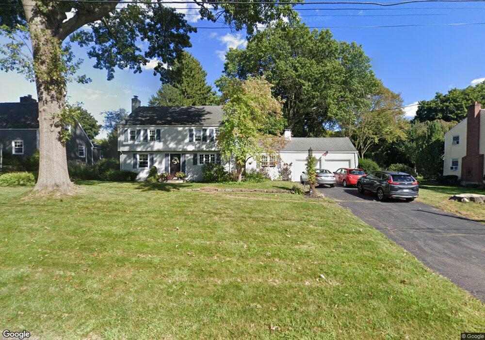
58 Boulter Rd Wethersfield, CT 06109
Estimated Value: $452,000 - $525,000
3
Beds
2
Baths
2,027
Sq Ft
$244/Sq Ft
Est. Value
About This Home
This home is located at 58 Boulter Rd, Wethersfield, CT 06109 and is currently estimated at $493,728, approximately $243 per square foot. 58 Boulter Rd is a home located in Hartford County with nearby schools including Highcrest School, Silas Deane Middle School, and Wethersfield High School.
Ownership History
Date
Name
Owned For
Owner Type
Purchase Details
Closed on
Sep 7, 2007
Sold by
Obye Roger C and Obye Pauline M
Bought by
Cyr Kenneth and Bernard Tracy E
Current Estimated Value
Purchase Details
Closed on
Nov 16, 2000
Sold by
Yandow Kenneth M
Bought by
Obye Roger C and Obye Pauline M
Purchase Details
Closed on
Jun 22, 1998
Sold by
Crandall Cathy A and Crandall Raymond A
Bought by
Yandaw Kenneth M
Create a Home Valuation Report for This Property
The Home Valuation Report is an in-depth analysis detailing your home's value as well as a comparison with similar homes in the area
Home Values in the Area
Average Home Value in this Area
Purchase History
| Date | Buyer | Sale Price | Title Company |
|---|---|---|---|
| Cyr Kenneth | $315,000 | -- | |
| Obye Roger C | $237,500 | -- | |
| Yandaw Kenneth M | $212,000 | -- |
Source: Public Records
Mortgage History
| Date | Status | Borrower | Loan Amount |
|---|---|---|---|
| Open | Yandaw Kenneth M | $278,400 | |
| Closed | Yandaw Kenneth M | $264,231 |
Source: Public Records
Tax History
| Year | Tax Paid | Tax Assessment Tax Assessment Total Assessment is a certain percentage of the fair market value that is determined by local assessors to be the total taxable value of land and additions on the property. | Land | Improvement |
|---|---|---|---|---|
| 2025 | $12,664 | $307,220 | $107,590 | $199,630 |
| 2024 | $8,939 | $206,820 | $83,430 | $123,390 |
| 2023 | $8,641 | $206,820 | $83,430 | $123,390 |
| 2022 | $8,496 | $206,820 | $83,430 | $123,390 |
| 2021 | $8,411 | $206,820 | $83,430 | $123,390 |
| 2020 | $8,660 | $212,840 | $83,430 | $129,410 |
| 2019 | $8,426 | $206,820 | $83,430 | $123,390 |
| 2018 | $8,547 | $209,600 | $79,200 | $130,400 |
| 2017 | $8,336 | $209,600 | $79,200 | $130,400 |
| 2016 | $8,078 | $209,600 | $79,200 | $130,400 |
| 2015 | $8,005 | $209,600 | $79,200 | $130,400 |
| 2014 | $7,701 | $209,600 | $79,200 | $130,400 |
Source: Public Records
Map
Nearby Homes
- 11 Charter Rd
- 31 Ox Yoke Dr
- 89 Merriman Rd
- 38 Wheeler Rd
- 250 Edward St
- 268 Fox Hill Rd
- 750 Wolcott Hill Rd
- 18 Mcintosh Cir Unit 18
- 455 Brimfield Rd
- 99 Maple St
- 137 Dale Rd
- 1610 Silas Deane Hwy
- 0 Collier Rd
- 101 Collier Rd
- 158 Dix Rd
- 131 Coleman Rd
- 155 Old Common Rd
- 147 Spring St
- 108 Chamberlain Rd
- 59 Chapin Ave
Your Personal Tour Guide
Ask me questions while you tour the home.