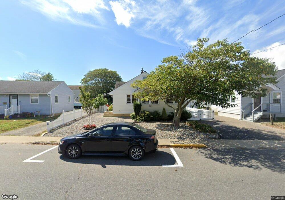
58 Channel Dr Point Pleasant Beach, NJ 08742
Point Pleasant Beach NeighborhoodEstimated Value: $640,002 - $812,000
3
Beds
1
Bath
2,964
Sq Ft
$244/Sq Ft
Est. Value
About This Home
This home is located at 58 Channel Dr, Point Pleasant Beach, NJ 08742 and is currently estimated at $722,751, approximately $243 per square foot. 58 Channel Dr is a home located in Ocean County with nearby schools including G Harold Antrim Elementary School, Point Pleasant Beach High School, and St. Peter School.
Ownership History
Date
Name
Owned For
Owner Type
Purchase Details
Closed on
Oct 16, 2002
Sold by
Coleman James
Bought by
Alonzo Donald
Current Estimated Value
Home Financials for this Owner
Home Financials are based on the most recent Mortgage that was taken out on this home.
Original Mortgage
$120,000
Outstanding Balance
$49,978
Interest Rate
6.07%
Estimated Equity
$672,773
Create a Home Valuation Report for This Property
The Home Valuation Report is an in-depth analysis detailing your home's value as well as a comparison with similar homes in the area
Home Values in the Area
Average Home Value in this Area
Purchase History
| Date | Buyer | Sale Price | Title Company |
|---|---|---|---|
| Alonzo Donald | $175,000 | -- |
Source: Public Records
Mortgage History
| Date | Status | Borrower | Loan Amount |
|---|---|---|---|
| Open | Alonzo Donald | $120,000 |
Source: Public Records
Tax History Compared to Growth
Tax History
| Year | Tax Paid | Tax Assessment Tax Assessment Total Assessment is a certain percentage of the fair market value that is determined by local assessors to be the total taxable value of land and additions on the property. | Land | Improvement |
|---|---|---|---|---|
| 2025 | $5,006 | $291,400 | $184,400 | $107,000 |
| 2024 | $4,855 | $291,400 | $184,400 | $107,000 |
| 2023 | $4,718 | $291,400 | $184,400 | $107,000 |
| 2022 | $4,718 | $291,400 | $184,400 | $107,000 |
| 2021 | $4,212 | $291,400 | $184,400 | $107,000 |
| 2020 | $4,607 | $291,400 | $184,400 | $107,000 |
| 2019 | $4,543 | $291,400 | $184,400 | $107,000 |
| 2018 | $4,473 | $291,400 | $184,400 | $107,000 |
| 2017 | $4,403 | $291,400 | $184,400 | $107,000 |
| 2016 | $4,423 | $291,400 | $184,400 | $107,000 |
| 2015 | $4,388 | $291,400 | $184,400 | $107,000 |
| 2014 | $4,368 | $291,400 | $184,400 | $107,000 |
Source: Public Records
Map
Nearby Homes
- 45 Inlet Dr
- 23 Ocean Ave N
- 2 Beachcomber Ln Unit 7-2
- 6 Beachcomber Ln Unit 6
- 109 Boardwalk
- 202 Yale Ave
- 140 Ocean Ave
- 573 Perch Ave
- 143 Boardwalk
- 5 Water St
- 7 Brunswick Place
- 10 Brunswick Place
- 109 Griffiths Ave
- 204 Curtis Ave
- 325 Hawthorne Ave Unit 327
- 207 4th Ave
- 328 Curtis Ave Unit Lot 28
- 326 Curtis Ave Unit Lot 27
- 201 Forman Ave
- 329 Fisk Ave
- 56 Channel Dr
- 60 Channel Dr
- 62 Channel Dr
- 54 Channel Dr
- 63 Broadway
- 64 Channel Dr
- 52 Channel Dr
- 50 Channel Dr Unit 4
- 50 Channel Dr
- 48 Channel Dr Unit 3
- 81 Channel Dr
- 46 Channel Dr
- 77 Channel Dr Unit 79
- 44 Channel Dr
- 52 Boston Ave
- 55 Broadway Unit A
- 55 Broadway Unit C
- 55 Broadway Unit D
- 53 Broadway
- 101 Boston Ave