58 Cinder Cir Hurricane, UT 84737
Estimated Value: $93,300 - $349,000
--
Bed
--
Bath
2,520
Sq Ft
$87/Sq Ft
Est. Value
About This Home
This home is located at 58 Cinder Cir, Hurricane, UT 84737 and is currently estimated at $218,075, approximately $86 per square foot. 58 Cinder Cir is a home located in Washington County with nearby schools including Hurricane High School, Hurricane Middle School, and Hurricane Elementary School.
Ownership History
Date
Name
Owned For
Owner Type
Purchase Details
Closed on
Jul 23, 2025
Sold by
Howard L L and Howard Marilyn H
Bought by
Aplington Fredrick and Aplington Lisa
Current Estimated Value
Purchase Details
Closed on
Mar 15, 2014
Sold by
Blackburn Anne E and Ray Anne E
Bought by
The Howard L And Marilyn H Armstrong Rev
Purchase Details
Closed on
Oct 19, 2005
Sold by
Hoyt Jarel B
Bought by
Ray Anne E
Purchase Details
Closed on
May 18, 2005
Sold by
Salokar Daniel L and Salokar Mary Ellen
Bought by
Hoyt Jarel B
Create a Home Valuation Report for This Property
The Home Valuation Report is an in-depth analysis detailing your home's value as well as a comparison with similar homes in the area
Home Values in the Area
Average Home Value in this Area
Purchase History
| Date | Buyer | Sale Price | Title Company |
|---|---|---|---|
| Aplington Fredrick | -- | None Listed On Document | |
| The Howard L And Marilyn H Armstrong Rev | -- | Southern Utah Title | |
| Ray Anne E | -- | Guardian Title Co | |
| Hoyt Jarel B | -- | First American Title Co |
Source: Public Records
Tax History Compared to Growth
Tax History
| Year | Tax Paid | Tax Assessment Tax Assessment Total Assessment is a certain percentage of the fair market value that is determined by local assessors to be the total taxable value of land and additions on the property. | Land | Improvement |
|---|---|---|---|---|
| 2025 | $688 | $90,900 | $90,000 | $900 |
| 2023 | $789 | $105,800 | $105,000 | $800 |
| 2022 | $523 | $65,800 | $65,000 | $800 |
| 2021 | $497 | $50,800 | $50,000 | $800 |
| 2020 | $476 | $45,500 | $45,000 | $500 |
| 2019 | $382 | $35,400 | $35,000 | $400 |
| 2018 | $425 | $35,400 | $0 | $0 |
| 2017 | $389 | $32,400 | $0 | $0 |
| 2016 | $397 | $32,100 | $0 | $0 |
| 2015 | $374 | $29,100 | $0 | $0 |
| 2014 | $278 | $28,000 | $0 | $0 |
Source: Public Records
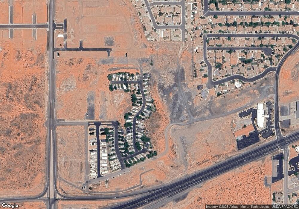
Map
Nearby Homes
- 144 Ash St
- 110 Blackrock Rd
- 2631 W 190 N
- 2800 W Sr-9 (State Street)
- 314 N 2815 W
- 306 N 2815 W
- 2819 W 310 N
- 100 N 2800 W
- 50 N 2800 W
- 6.26 Acres State Route 9
- 2615 W 250 N
- 2571 W 100 S
- 0 6 26 Acres Sr9
- 0 Lot 209 Paraiso Unit 25-267124
- 0 Lot 210 Paraiso
- 2747 W 410 N
- 0 Lot 212 Paraiso Unit 25-267078
- 372 N 2830 W
- 0 Lot 211 Paraiso Unit 25-267126
- 0 3 Acres Sr9
- 58 Cinder Cir
- 57 Cinder Cir
- 59 Cinder Cir
- 58 Cinder St
- 60 Cinder St
- 60 Cinder Cir Unit 60
- 56 Cinder Cir
- 70 Cinder Cir
- 69 Cinder Cir
- 56 Cinder St
- 71 Cinder Cir
- 71 Cinder St
- 68 Cinder Cir
- 68 Cinder St Unit 68
- 72 Cinder Cir
- 67 Cinder Cir
- 67 Cinder Cir Unit 67
- 55 Cinder St
- 67 Cinder St
- 0 Cinder St Unit 8-96422