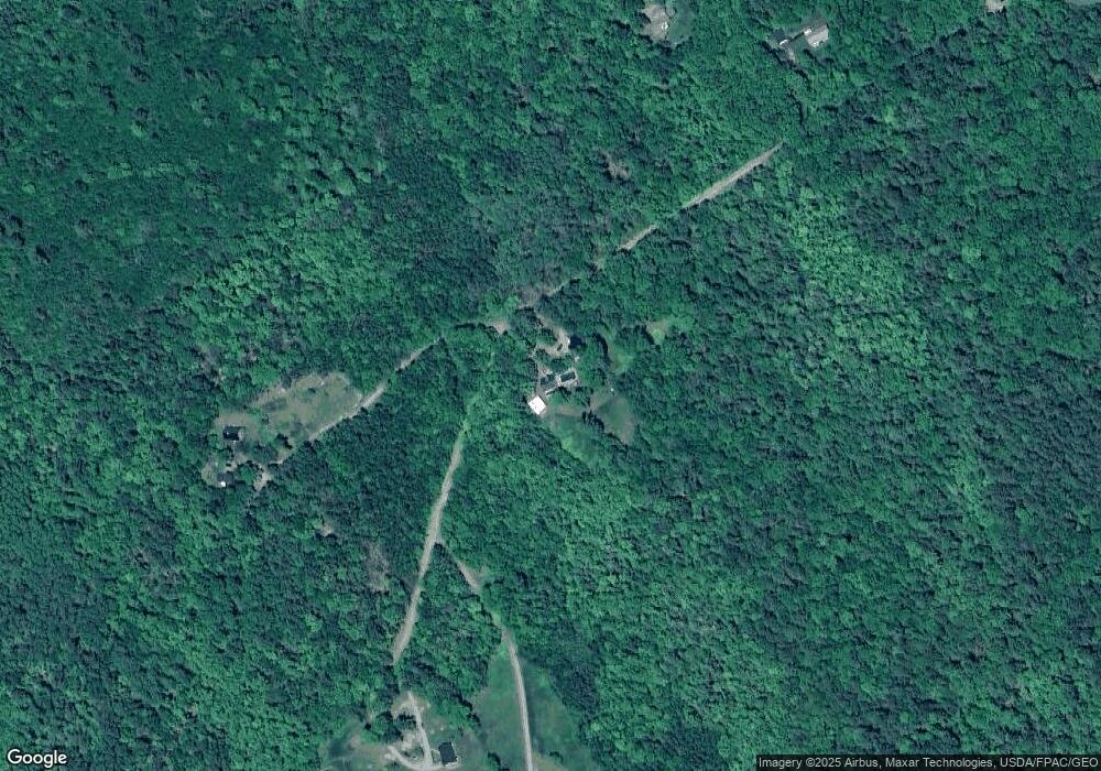
58 Cobb Rd Belfast, ME 04915
Estimated Value: $326,000 - $585,000
3
Beds
1
Bath
653
Sq Ft
$740/Sq Ft
Est. Value
About This Home
This home is located at 58 Cobb Rd, Belfast, ME 04915 and is currently estimated at $483,355, approximately $740 per square foot. 58 Cobb Rd is a home located in Waldo County with nearby schools including Cornerspring Children's House and The School At Sweetser - Belfast.
Ownership History
Date
Name
Owned For
Owner Type
Purchase Details
Closed on
Nov 15, 2013
Sold by
Shute Darolyn L and Cowan Darlene A
Bought by
Whitecap Builders Inc
Current Estimated Value
Purchase Details
Closed on
Jun 24, 2009
Sold by
Jones Larry J and Jones Sharon R
Bought by
Jones Maria R
Purchase Details
Closed on
May 30, 2006
Sold by
Jones Harold J and Jones Constance J
Bought by
Jones Larry J and Jones Sharon R
Create a Home Valuation Report for This Property
The Home Valuation Report is an in-depth analysis detailing your home's value as well as a comparison with similar homes in the area
Home Values in the Area
Average Home Value in this Area
Purchase History
| Date | Buyer | Sale Price | Title Company |
|---|---|---|---|
| Whitecap Builders Inc | -- | -- | |
| Jones Maria R | -- | -- | |
| Jones Larry J | -- | -- | |
| Jones Larry J | -- | -- |
Source: Public Records
Tax History Compared to Growth
Tax History
| Year | Tax Paid | Tax Assessment Tax Assessment Total Assessment is a certain percentage of the fair market value that is determined by local assessors to be the total taxable value of land and additions on the property. | Land | Improvement |
|---|---|---|---|---|
| 2024 | $6,998 | $454,400 | $113,000 | $341,400 |
| 2023 | $5,954 | $296,200 | $72,200 | $224,000 |
| 2022 | $6,161 | $287,900 | $72,200 | $215,700 |
| 2021 | $6,334 | $287,900 | $72,200 | $215,700 |
| 2020 | $6,540 | $280,700 | $72,200 | $208,500 |
| 2019 | $6,213 | $271,300 | $62,500 | $208,800 |
| 2018 | $5,705 | $271,300 | $62,500 | $208,800 |
| 2017 | $5,941 | $271,300 | $62,500 | $208,800 |
| 2016 | $6,144 | $268,300 | $59,500 | $208,800 |
| 2015 | $6,010 | $268,300 | $59,500 | $208,800 |
| 2014 | $5,809 | $268,300 | $59,500 | $208,800 |
| 2013 | $5,581 | $268,300 | $59,500 | $208,800 |
Source: Public Records
Map
Nearby Homes
- 11 Bowling Green Ln
- 27 Bowling Green Ln
- 1145 Moosewood Ln
- 139 Prescott Hill Rd
- 5 Whitetail St
- 6 Whitetail St
- 7 Whitetail St
- L 58 Part Horse Jockey Ln
- 285 Northport Ave
- 4 R W MacLeod Ln
- 13 R W MacLeod Ln
- 5 Freedom Ln
- Lot 26 Mariners Watch Rd
- 21 Dream Ln
- 11 Tozier St
- 208 Congress St
- 95 Bayside Rd
- 18 Bayside Dr
- Lot 7 Priscilla Ln
- 49 Bayside Rd
- 63 Cobb Rd
- 64 Cobb Rd
- 10 Groening Dr
- 5 Groening Dr
- 32 Bowling Green Ln
- 24 Bowling Green Ln
- 35 Cobb Rd
- 20 Bowling Green Ln
- 10 Bowling Green Ln
- 1 Bowling Green Ln
- 00 Bowling Green Ln
- 8 Bowling Green Ln
- 27 Cobb Rd
- 2 Bowling Green Ln
- 3 Bowling Green Ln
- 4 Bowling Green Ln
- 31 Bowling Green Ln
- Lot 6 Bowling Green Ln
- 00 Woods Rd
- 85 Woods Rd
