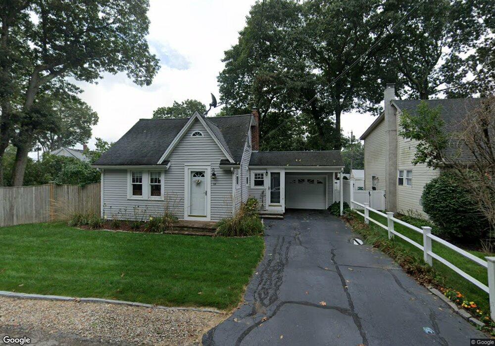
58 Cypress Rd Wrentham, MA 02093
Estimated Value: $398,000 - $443,000
1
Bed
2
Baths
826
Sq Ft
$510/Sq Ft
Est. Value
About This Home
This home is located at 58 Cypress Rd, Wrentham, MA 02093 and is currently estimated at $420,982, approximately $509 per square foot. 58 Cypress Rd is a home located in Norfolk County with nearby schools including Delaney Elementary School and Charles E Roderick.
Ownership History
Date
Name
Owned For
Owner Type
Purchase Details
Closed on
Jul 25, 1997
Sold by
Conley Dennis M
Bought by
Macneil Michael J and Macneil Diana M
Current Estimated Value
Home Financials for this Owner
Home Financials are based on the most recent Mortgage that was taken out on this home.
Original Mortgage
$112,270
Interest Rate
7.7%
Mortgage Type
Purchase Money Mortgage
Create a Home Valuation Report for This Property
The Home Valuation Report is an in-depth analysis detailing your home's value as well as a comparison with similar homes in the area
Purchase History
| Date | Buyer | Sale Price | Title Company |
|---|---|---|---|
| Macneil Michael J | $112,500 | -- |
Source: Public Records
Mortgage History
| Date | Status | Borrower | Loan Amount |
|---|---|---|---|
| Open | Macneil Michael J | $108,000 | |
| Closed | Macneil Michael J | $113,000 | |
| Closed | Macneil Michael J | $111,587 | |
| Closed | Macneil Michael J | $112,270 |
Source: Public Records
Tax History
| Year | Tax Paid | Tax Assessment Tax Assessment Total Assessment is a certain percentage of the fair market value that is determined by local assessors to be the total taxable value of land and additions on the property. | Land | Improvement |
|---|---|---|---|---|
| 2025 | $4,505 | $388,700 | $213,700 | $175,000 |
| 2024 | $4,296 | $358,000 | $213,700 | $144,300 |
| 2023 | $3,994 | $316,500 | $194,200 | $122,300 |
| 2022 | $3,962 | $289,800 | $189,000 | $100,800 |
| 2021 | $3,831 | $272,300 | $176,600 | $95,700 |
| 2020 | $3,511 | $246,400 | $134,800 | $111,600 |
| 2019 | $3,207 | $227,100 | $121,300 | $105,800 |
| 2018 | $2,959 | $207,800 | $121,600 | $86,200 |
| 2017 | $2,833 | $198,800 | $119,200 | $79,600 |
| 2016 | $2,803 | $196,300 | $115,800 | $80,500 |
| 2015 | $2,945 | $196,600 | $123,700 | $72,900 |
| 2014 | $2,930 | $191,400 | $118,900 | $72,500 |
Source: Public Records
Map
Nearby Homes
- 0 W Birch Rd
- 8 Ridgefield Rd
- 11 Weber Farm Rd Unit 11
- 4 Weber Farm Rd Unit 4
- 6 Weber Farm Rd Unit 6
- 8 Weber Farm Rd Unit 8
- 1 Weber Farm Rd Unit 1
- 30 Weber Farm Rd Unit 30
- 576 Dedham St
- 45 Joshua Rd
- 11 Sharon Ave
- 9 Sharon Ave
- 50 Reed Fulton Ave Unit Lot 61
- 10 Nature View Dr
- 15 Nature View Dr
- 500 Franklin St
- 15 Tilting Rock Rd
- 23 Fredrickson Rd
- 7 Hill St Unit 12
- 7 Hill St Unit 16
- 54 Cypress Rd
- 333 Shears St
- 63 Cypress Rd
- 63 Cypress Rd
- 53 Cypress Rd
- 335 Shears St
- 48 Cypress Rd
- 59 Cypress Rd
- 71 Cypress Rd
- 49 Cypress Rd
- 90 Cypress Rd
- 90 Cypress Rd Unit 1`
- 90 Cypress Rd Unit 2
- 90 Cypress Rd Unit 90
- 325 Shears St
- 337 Shears St
- 337 Shears St Unit 1
- 337 Shears St Unit 337
- 39 Cypress Rd
- 339 Shears St
Your Personal Tour Guide
Ask me questions while you tour the home.