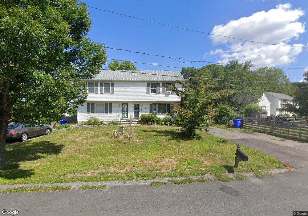
58 Dwinell Rd Taunton, MA 02780
Estimated Value: $309,335 - $384,000
3
Beds
2
Baths
1,242
Sq Ft
$284/Sq Ft
Est. Value
About This Home
This home is located at 58 Dwinell Rd, Taunton, MA 02780 and is currently estimated at $353,084, approximately $284 per square foot. 58 Dwinell Rd is a home located in Bristol County with nearby schools including Mulcahey Elementary School, Taunton High School, and John F. Parker Middle School.
Ownership History
Date
Name
Owned For
Owner Type
Purchase Details
Closed on
Nov 7, 2022
Sold by
Figueiredo Joseph D
Bought by
58 Dwinell Road Rt
Current Estimated Value
Purchase Details
Closed on
Jul 10, 1998
Sold by
Armstrong John W and Armstrong Wendy A
Bought by
Figueiredo Joseph D
Home Financials for this Owner
Home Financials are based on the most recent Mortgage that was taken out on this home.
Original Mortgage
$87,000
Interest Rate
7.02%
Mortgage Type
Purchase Money Mortgage
Purchase Details
Closed on
Nov 30, 1995
Sold by
S&H Rt and Baaj Wadah
Bought by
Armstrong John W and Armstrong Wendy A
Home Financials for this Owner
Home Financials are based on the most recent Mortgage that was taken out on this home.
Original Mortgage
$87,200
Interest Rate
7.37%
Mortgage Type
Purchase Money Mortgage
Create a Home Valuation Report for This Property
The Home Valuation Report is an in-depth analysis detailing your home's value as well as a comparison with similar homes in the area
Home Values in the Area
Average Home Value in this Area
Purchase History
| Date | Buyer | Sale Price | Title Company |
|---|---|---|---|
| 58 Dwinell Road Rt | -- | None Available | |
| Figueiredo Joseph D | $97,000 | -- | |
| Armstrong John W | $89,900 | -- |
Source: Public Records
Mortgage History
| Date | Status | Borrower | Loan Amount |
|---|---|---|---|
| Previous Owner | Armstrong John W | $87,000 | |
| Previous Owner | Armstrong John W | $87,200 |
Source: Public Records
Tax History
| Year | Tax Paid | Tax Assessment Tax Assessment Total Assessment is a certain percentage of the fair market value that is determined by local assessors to be the total taxable value of land and additions on the property. | Land | Improvement |
|---|---|---|---|---|
| 2025 | $2,265 | $207,000 | $0 | $207,000 |
| 2024 | $2,206 | $197,100 | $0 | $197,100 |
| 2023 | $2,333 | $193,600 | $0 | $193,600 |
| 2022 | $2,495 | $189,300 | $0 | $189,300 |
| 2021 | $2,616 | $184,200 | $0 | $184,200 |
| 2020 | $2,540 | $170,900 | $0 | $170,900 |
| 2019 | $2,693 | $170,900 | $0 | $170,900 |
| 2018 | $2,639 | $167,900 | $0 | $167,900 |
| 2017 | $2,413 | $153,600 | $0 | $153,600 |
| 2016 | $2,332 | $148,700 | $0 | $148,700 |
| 2015 | $2,152 | $143,400 | $0 | $143,400 |
| 2014 | $2,095 | $143,400 | $0 | $143,400 |
Source: Public Records
Map
Nearby Homes
- 2 Winthrop Ave
- 99 Winthrop St
- 50 Highland St Unit 227
- 50 Highland St Unit 74
- 50 Highland St Unit 242
- 50 Highland St Unit 222
- 15 Myrtle St
- 4 Walnut St
- 50 Highland Ave Unit 137
- 14 Harrison Ave
- 161 Cohannet St
- 248 Somerset Ave
- 252 Somerset Ave
- 450 Somerset Ave Unit 5-7
- 450 Somerset Ave Unit 1-8
- 450 Somerset Ave Unit 1-4
- 79 Kilmer Ave
- 4 Pine St
- 1 Friend St
- 32 Shores St
Your Personal Tour Guide
Ask me questions while you tour the home.