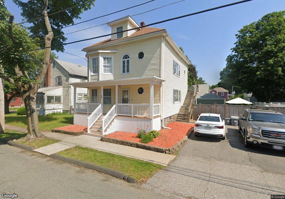
58 Emerson Ave Peabody, MA 01960
South Peabody NeighborhoodEstimated Value: $721,290 - $869,000
5
Beds
2
Baths
2,224
Sq Ft
$360/Sq Ft
Est. Value
About This Home
This home is located at 58 Emerson Ave, Peabody, MA 01960 and is currently estimated at $800,823, approximately $360 per square foot. 58 Emerson Ave is a home located in Essex County with nearby schools including Peabody Veterans Memorial High School and St John The Baptist School.
Ownership History
Date
Name
Owned For
Owner Type
Purchase Details
Closed on
Jul 24, 2024
Sold by
Zerfoss Karl C and Zerfoss Sherri E
Bought by
Zerfoss Ft and Zerfoss
Current Estimated Value
Purchase Details
Closed on
Oct 30, 1998
Sold by
Murray Thomas J and Murray Kathleen M
Bought by
Zerfoss Karl C and Zerfoss Sherri E
Home Financials for this Owner
Home Financials are based on the most recent Mortgage that was taken out on this home.
Original Mortgage
$195,500
Interest Rate
6.68%
Mortgage Type
Purchase Money Mortgage
Create a Home Valuation Report for This Property
The Home Valuation Report is an in-depth analysis detailing your home's value as well as a comparison with similar homes in the area
Home Values in the Area
Average Home Value in this Area
Purchase History
| Date | Buyer | Sale Price | Title Company |
|---|---|---|---|
| Zerfoss Ft | -- | None Available | |
| Zerfoss Ft | -- | None Available | |
| Zerfoss Karl C | $230,000 | -- | |
| Zerfoss Karl C | $230,000 | -- |
Source: Public Records
Mortgage History
| Date | Status | Borrower | Loan Amount |
|---|---|---|---|
| Previous Owner | Zerfoss Karl C | $260,000 | |
| Previous Owner | Zerfoss Karl C | $260,000 | |
| Previous Owner | Zerfoss Karl C | $30,000 | |
| Previous Owner | Zerfoss Karl C | $195,500 |
Source: Public Records
Tax History Compared to Growth
Tax History
| Year | Tax Paid | Tax Assessment Tax Assessment Total Assessment is a certain percentage of the fair market value that is determined by local assessors to be the total taxable value of land and additions on the property. | Land | Improvement |
|---|---|---|---|---|
| 2025 | $6,011 | $649,100 | $220,800 | $428,300 |
| 2024 | $5,817 | $637,800 | $220,800 | $417,000 |
| 2023 | $5,077 | $533,300 | $197,100 | $336,200 |
| 2022 | $4,726 | $467,900 | $176,100 | $291,800 |
| 2021 | $4,384 | $417,900 | $160,100 | $257,800 |
| 2020 | $4,449 | $414,200 | $160,100 | $254,100 |
| 2019 | $4,382 | $398,000 | $160,100 | $237,900 |
| 2018 | $3,980 | $347,300 | $145,500 | $201,800 |
| 2017 | $3,646 | $310,000 | $145,500 | $164,500 |
| 2016 | $3,733 | $313,200 | $145,500 | $167,700 |
| 2015 | $3,253 | $264,500 | $141,900 | $122,600 |
Source: Public Records
Map
Nearby Homes
- 30 Saint Ann's Ave
- 60 Lynn St
- 41 Dexter St
- 3 Veterans Memorial Dr
- 6 Christopher Terrace
- 5 Quarry Terrace
- 232 Lynn St
- 5 Louis Rd
- 29 Rockway Rd
- 34 Glendale Ave
- 21 Chanelle Cir
- 17 Janet Ln
- 17 Lions Ln
- 6 Countryside Ln Unit 1303
- 159 Marlborough Rd
- 39 Graves Rd
- 12 Tanglewood Ln Unit 12
- 25 Outlook Ave
- 176 Marlborough Rd
- 111 Foster St Unit 401
- 62 Emerson Ave
- 4 Woodlawn Ave
- 27 Martinack Ave
- 2 Woodlawn Ave
- 29 Martinack Ave
- 64 Emerson Ave
- 59 Emerson Ave
- 6 Woodlawn Ave
- 61 Emerson Ave
- 56 Emerson Ave
- 63 Emerson Ave
- 66 Emerson Ave
- 21 Martinack Ave
- 24 Rockdale Ave
- 57 Emerson Ave
- 26 Rockdale Ave
- 22 Rockdale Ave
- 28 Martinack Ave
- 33 Martinack Ave
- 54 Emerson Ave