58 Estes Rd New Gloucester, ME 04260
Estimated Value: $374,000 - $455,138
About This Home
This home is located at 58 Estes Rd, New Gloucester, ME 04260 and is currently estimated at $418,046, approximately $187 per square foot. 58 Estes Rd is a home located in Cumberland County with nearby schools including Gray-New Gloucester High School.
Ownership History
We collect this data history from publicly available records. To have your information removed, we recommend requesting removal directly through your county’s website.
Purchase Details
Home Financials for this Owner
Home Financials are based on the most recent Mortgage that was taken out on this home.Home Values in the Area
Average Home Value in this Area
Purchase History
We collect this data history from publicly available records. To have your information removed, we recommend requesting removal directly through your county’s website.
| Date | Buyer | Sale Price | Title Company |
|---|---|---|---|
| -- | -- | ||
| -- | -- |
Mortgage History
We collect this data history from publicly available records. To have your information removed, we recommend requesting removal directly through your county’s website.
| Date | Status | Borrower | Loan Amount |
|---|---|---|---|
| Open | $159,362 | ||
| Closed | $160,000 |
Tax History
We collect this data history from publicly available records. To have your information removed, we recommend requesting removal directly through your county’s website.
| Year | Tax Paid | Tax Assessment Tax Assessment Total Assessment is a certain percentage of the fair market value that is determined by local assessors to be the total taxable value of land and additions on the property. | Land | Improvement |
|---|---|---|---|---|
| 2025 | $4,118 | $266,172 | $81,531 | $184,641 |
| 2024 | $3,963 | $266,172 | $81,531 | $184,641 |
| 2023 | $3,804 | $266,172 | $81,531 | $184,641 |
| 2022 | $3,673 | $266,172 | $81,531 | $184,641 |
| 2021 | $3,610 | $261,584 | $81,531 | $180,053 |
| 2020 | $3,229 | $236,564 | $81,531 | $155,033 |
| 2019 | $2,706 | $160,100 | $58,800 | $101,300 |
| 2018 | $2,214 | $160,100 | $58,800 | $101,300 |
| 2017 | $2,498 | $160,100 | $58,800 | $101,300 |
| 2016 | $2,353 | $160,100 | $58,800 | $101,300 |
| 2015 | $2,239 | $152,800 | $58,800 | $94,000 |
| 2014 | $2,216 | $152,800 | $58,800 | $94,000 |
| 2013 | -- | $152,800 | $58,800 | $94,000 |
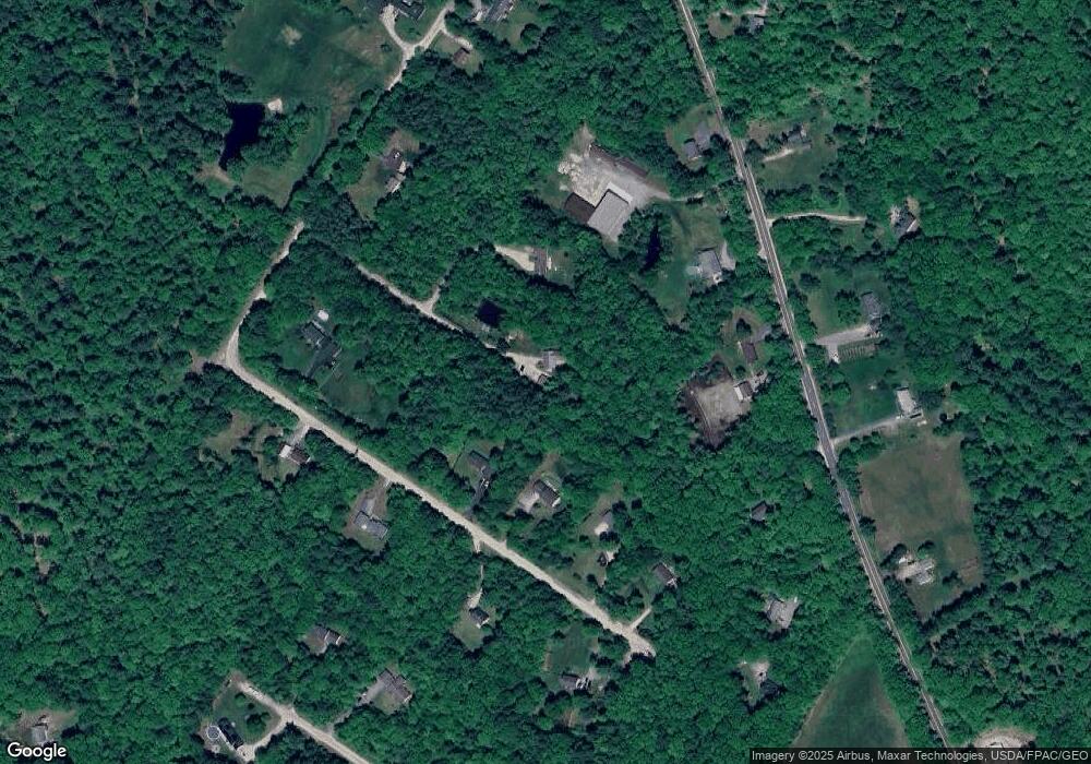
Map
- 40 Rustic Way
- 146 Cobbs Bridge Rd
- 42 Bryana Way
- 410 Intervale Rd
- 21 Bald Hill Rd
- 22 Snow Hill Rd
- 155 & 151 Gloucester Hill Rd
- 10-56 C&E Bowdoin Way
- TBD Emmaus Rd
- 10 Briarwood Dr
- 52 Valerie Ln
- 216 Sabbathday Rd
- 14 Golden Way
- 63 Black Point Rd
- 71A Black Point Rd
- 55 Blueberry Ln
- 48 Blueberry Ln
- 41 Highview Dr
- 49 Megquier Rd
- 436 Lot A Foster Rd
Ask me questions while you tour the home.