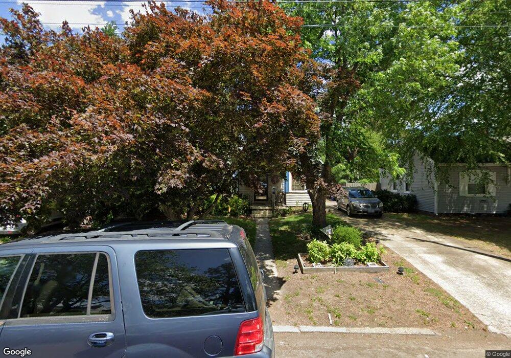
58 Foxgrape Rd Portsmouth, VA 23701
Park Manor NeighborhoodEstimated Value: $240,000 - $291,000
4
Beds
2
Baths
1,765
Sq Ft
$153/Sq Ft
Est. Value
About This Home
This home is located at 58 Foxgrape Rd, Portsmouth, VA 23701 and is currently estimated at $270,906, approximately $153 per square foot. 58 Foxgrape Rd is a home located in Portsmouth City with nearby schools including Simonsdale Elementary School, Wm. E. Waters Middle School, and Manor High School.
Ownership History
Date
Name
Owned For
Owner Type
Purchase Details
Closed on
Jul 12, 2024
Sold by
Williard James R
Bought by
Coats Ricky Daniel
Current Estimated Value
Home Financials for this Owner
Home Financials are based on the most recent Mortgage that was taken out on this home.
Original Mortgage
$255,375
Outstanding Balance
$252,254
Interest Rate
6.87%
Mortgage Type
VA
Estimated Equity
$18,652
Create a Home Valuation Report for This Property
The Home Valuation Report is an in-depth analysis detailing your home's value as well as a comparison with similar homes in the area
Home Values in the Area
Average Home Value in this Area
Purchase History
| Date | Buyer | Sale Price | Title Company |
|---|---|---|---|
| Coats Ricky Daniel | $250,000 | Noble Title |
Source: Public Records
Mortgage History
| Date | Status | Borrower | Loan Amount |
|---|---|---|---|
| Open | Coats Ricky Daniel | $255,375 |
Source: Public Records
Tax History Compared to Growth
Tax History
| Year | Tax Paid | Tax Assessment Tax Assessment Total Assessment is a certain percentage of the fair market value that is determined by local assessors to be the total taxable value of land and additions on the property. | Land | Improvement |
|---|---|---|---|---|
| 2024 | $2,938 | $238,840 | $51,200 | $187,640 |
| 2023 | $2,848 | $214,190 | $51,200 | $162,990 |
| 2022 | $2,411 | $185,460 | $40,960 | $144,500 |
| 2021 | $2,299 | $176,830 | $40,960 | $135,870 |
| 2020 | $2,161 | $166,250 | $39,010 | $127,240 |
| 2019 | $2,145 | $165,010 | $39,010 | $126,000 |
| 2018 | $2,145 | $165,010 | $39,010 | $126,000 |
| 2017 | $2,145 | $165,010 | $39,010 | $126,000 |
| 2016 | $2,145 | $165,010 | $39,010 | $126,000 |
| 2015 | $2,145 | $165,010 | $39,010 | $126,000 |
| 2014 | $2,096 | $165,010 | $39,010 | $126,000 |
Source: Public Records
Map
Nearby Homes
- 105 Bolling Rd
- 81 Bolling Rd
- 24 Rivercrest Dr
- 77 Bolling Rd
- 41 Greeneland Blvd
- 94 Kansas Ave
- 47 Pollux Cir W
- 34 Pollux Cir W
- 86 Wyoming Ave
- 36 Bolling Rd
- 117 Wyoming Ave
- 16 Bradley Ave
- 4804 Vick St
- 126 Oregon Ave
- 4014 Arlington Place
- 4110 Scott St
- 4803 Vick St
- 4606 Bart St
- 4509 South St
- 18 N Colin Dr