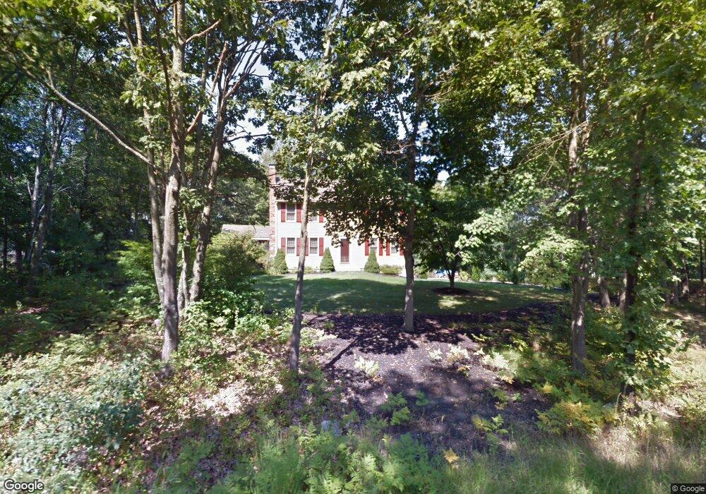
58 Grove St Norfolk, MA 02056
Estimated Value: $615,769 - $861,000
3
Beds
2
Baths
1,728
Sq Ft
$412/Sq Ft
Est. Value
About This Home
This home is located at 58 Grove St, Norfolk, MA 02056 and is currently estimated at $711,442, approximately $411 per square foot. 58 Grove St is a home located in Norfolk County with nearby schools including H. Olive Day School, Freeman-Kennedy School, and Woodside Montessori Academy.
Ownership History
Date
Name
Owned For
Owner Type
Purchase Details
Closed on
Sep 29, 1989
Sold by
Furfari Robert M
Bought by
Hawk Robert E
Current Estimated Value
Home Financials for this Owner
Home Financials are based on the most recent Mortgage that was taken out on this home.
Original Mortgage
$160,000
Interest Rate
9.92%
Mortgage Type
Purchase Money Mortgage
Create a Home Valuation Report for This Property
The Home Valuation Report is an in-depth analysis detailing your home's value as well as a comparison with similar homes in the area
Home Values in the Area
Average Home Value in this Area
Purchase History
| Date | Buyer | Sale Price | Title Company |
|---|---|---|---|
| Hawk Robert E | $209,000 | -- |
Source: Public Records
Mortgage History
| Date | Status | Borrower | Loan Amount |
|---|---|---|---|
| Open | Hawk Robert E | $144,000 | |
| Closed | Hawk Robert E | $160,000 |
Source: Public Records
Tax History Compared to Growth
Tax History
| Year | Tax Paid | Tax Assessment Tax Assessment Total Assessment is a certain percentage of the fair market value that is determined by local assessors to be the total taxable value of land and additions on the property. | Land | Improvement |
|---|---|---|---|---|
| 2025 | $8,357 | $523,300 | $213,900 | $309,400 |
| 2024 | $8,051 | $517,100 | $213,900 | $303,200 |
| 2023 | $7,829 | $477,100 | $213,900 | $263,200 |
| 2022 | $7,376 | $405,300 | $200,000 | $205,300 |
| 2021 | $7,120 | $395,800 | $194,300 | $201,500 |
| 2020 | $6,942 | $372,400 | $176,500 | $195,900 |
| 2019 | $6,705 | $366,600 | $176,500 | $190,100 |
| 2018 | $6,500 | $349,100 | $176,500 | $172,600 |
| 2017 | $6,401 | $351,300 | $176,500 | $174,800 |
| 2016 | $6,283 | $347,500 | $176,500 | $171,000 |
| 2015 | $6,026 | $341,200 | $168,000 | $173,200 |
| 2014 | $5,914 | $339,300 | $168,000 | $171,300 |
Source: Public Records
Map
Nearby Homes
- 18 Keeney Pond Rd
- 7 Keeney Pond Rd
- 6 Trailside Way
- 16 Keeney Pond Rd
- 12 Keeney Pond Rd
- 3 Lake St
- 23 Fredrickson Rd
- 8 Analore Cir
- 26 Ridge Rd
- 10 Medway St
- 14 Essex St
- 14 Robin Rd
- 3 Pheasanthill Rd
- 38 Robin Rd
- 41 Myrtle St
- 45 King St
- 20 Waites Crossing
- 13 Waites Crossing
- 19 Waites Crossing
- 9 Waites Crossing