58 Hammett Rd Chilmark, MA 02535
Chilmark NeighborhoodEstimated Value: $3,112,000 - $4,287,042
1
Bed
2
Baths
1,747
Sq Ft
$2,117/Sq Ft
Est. Value
About This Home
This home is located at 58 Hammett Rd, Chilmark, MA 02535 and is currently estimated at $3,698,761, approximately $2,117 per square foot. 58 Hammett Rd is a home with nearby schools including Martha's Vineyard Regional High School.
Ownership History
Date
Name
Owned For
Owner Type
Purchase Details
Closed on
Sep 5, 2006
Sold by
58 Hammett Road T and Epstein David R
Bought by
Epstein Betsy Banks and Epstein David
Current Estimated Value
Purchase Details
Closed on
Aug 8, 2006
Sold by
58 Hammett Road T and Epstein David R
Bought by
Epstein Betsy Banks and Epstein David
Purchase Details
Closed on
Sep 20, 2002
Sold by
Anderson Richard and Anderson Pamela D
Bought by
58 Hammett Rd T and Epstein David R
Create a Home Valuation Report for This Property
The Home Valuation Report is an in-depth analysis detailing your home's value as well as a comparison with similar homes in the area
Home Values in the Area
Average Home Value in this Area
Purchase History
| Date | Buyer | Sale Price | Title Company |
|---|---|---|---|
| Epstein Betsy Banks | -- | -- | |
| Epstein Betsy Banks | -- | -- | |
| 58 Hammett Rd T | $1,300,000 | -- |
Source: Public Records
Tax History
| Year | Tax Paid | Tax Assessment Tax Assessment Total Assessment is a certain percentage of the fair market value that is determined by local assessors to be the total taxable value of land and additions on the property. | Land | Improvement |
|---|---|---|---|---|
| 2025 | $8,242 | $3,663,200 | $1,909,000 | $1,754,200 |
| 2024 | $7,515 | $3,544,800 | $1,859,300 | $1,685,500 |
| 2023 | $7,204 | $2,739,300 | $1,364,600 | $1,374,700 |
| 2022 | $7,223 | $2,561,200 | $1,364,600 | $1,196,600 |
| 2021 | $5,708 | $1,961,400 | $1,364,600 | $596,800 |
| 2020 | $5,524 | $1,931,600 | $1,340,100 | $591,500 |
| 2019 | $5,442 | $1,889,600 | $1,340,100 | $549,500 |
| 2018 | $0 | $1,889,600 | $1,340,100 | $549,500 |
| 2017 | $0 | $1,881,000 | $1,336,800 | $544,200 |
| 2016 | $5,069 | $1,870,600 | $1,336,800 | $533,800 |
| 2015 | $3,516 | $1,336,800 | $1,336,800 | $0 |
| 2014 | $2,639 | $1,064,000 | $1,064,000 | $0 |
Source: Public Records
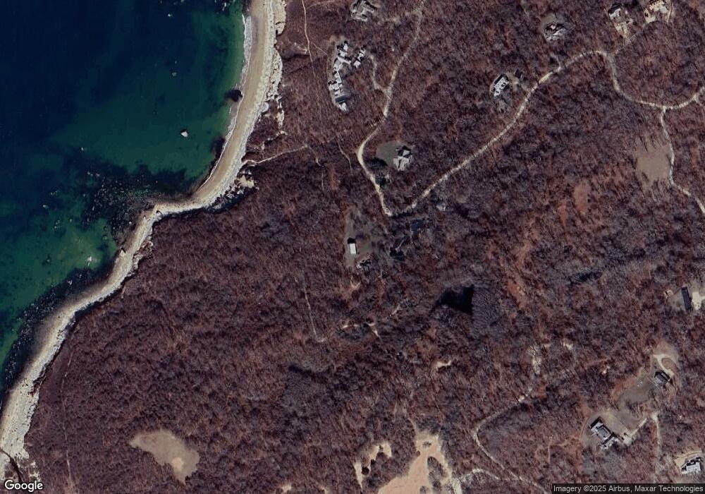
Map
Nearby Homes
- 46 Tiercel Ln
- 96 Hammett Ln
- 43 N Slope Ln
- 34 Ebens Ln Unit 20 and 22
- 34 Ebens Ln
- 37 Bijah's Way Unit 96, 101, 102
- 15 Old Farm Rd
- 174 Middle Rd
- 122 Old Farm Rd
- 124 Old Farm Rd Unit 122, 116
- 25 Fulling Mill Rd
- 21 & 25 Fulling Mill Rd
- 6 Trails End
- 60 Meetinghouse Rd
- 85 Reservoir Rd
- 308 South Rd
- 99 Cygnet Way Unit 103
- 2 Other House Rd Unit 173
- 45 Quenames Rd
- 47 Quenames Rd
- 48 Hammett Rd
- 61 Hammett Rd
- 68 Hammett Rd
- 37 Brickyard Rd
- 43 Hammett Rd
- 78 Hammett Rd
- 35 Brickyard Rd
- 35 Hammett Rd
- 82 Hammett Rd
- 25 Brickyard Rd
- 88 Hammett Rd
- 33 Hammett Rd
- 26 Hammett Rd
- 22 Hammett Rd
- 31 Hammett Rd
- 90 Hammett Rd
- 34 Brickyard Rd
- 2.07 Brickyard Rd
- 00 Brickyard Rd
- 14 & 17 Brickyard Rd
Your Personal Tour Guide
Ask me questions while you tour the home.