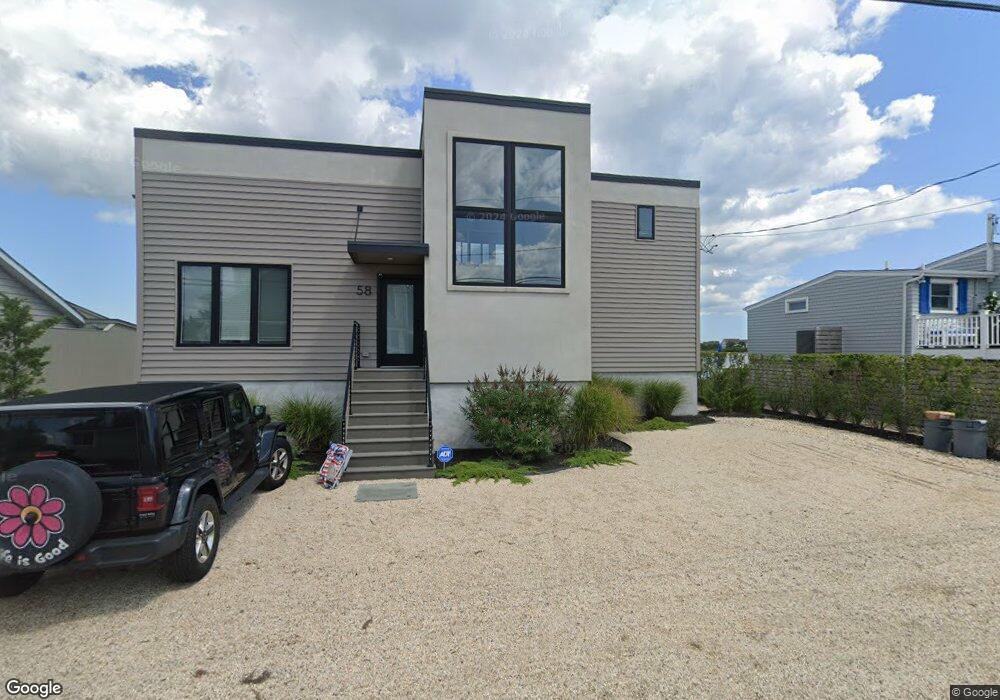
58 Harbor Rd Westhampton Beach, NY 11978
Estimated Value: $1,720,000 - $3,395,000
3
Beds
2
Baths
1,250
Sq Ft
$2,206/Sq Ft
Est. Value
About This Home
This home is located at 58 Harbor Rd, Westhampton Beach, NY 11978 and is currently estimated at $2,757,055, approximately $2,205 per square foot. 58 Harbor Rd is a home located in Suffolk County with nearby schools including Westhampton Beach Elementary School, Westhampton Middle School, and Westhampton Beach Senior High School.
Ownership History
Date
Name
Owned For
Owner Type
Purchase Details
Closed on
Apr 24, 2003
Sold by
Lerner Frank
Bought by
Buhr Richard and Buhr Ann
Current Estimated Value
Home Financials for this Owner
Home Financials are based on the most recent Mortgage that was taken out on this home.
Original Mortgage
$395,000
Outstanding Balance
$170,561
Interest Rate
5.82%
Mortgage Type
Purchase Money Mortgage
Estimated Equity
$2,586,494
Purchase Details
Closed on
May 12, 1995
Sold by
Lerner Frank and Lerner Rosalind
Bought by
Lerner Frank and Lerner Rosalind
Create a Home Valuation Report for This Property
The Home Valuation Report is an in-depth analysis detailing your home's value as well as a comparison with similar homes in the area
Home Values in the Area
Average Home Value in this Area
Purchase History
| Date | Buyer | Sale Price | Title Company |
|---|---|---|---|
| Buhr Richard | $495,000 | First American Title Ins Co | |
| Lerner Frank | -- | -- |
Source: Public Records
Mortgage History
| Date | Status | Borrower | Loan Amount |
|---|---|---|---|
| Open | Buhr Richard | $395,000 |
Source: Public Records
Tax History
| Year | Tax Paid | Tax Assessment Tax Assessment Total Assessment is a certain percentage of the fair market value that is determined by local assessors to be the total taxable value of land and additions on the property. | Land | Improvement |
|---|---|---|---|---|
| 2024 | $10,113 | $1,702,200 | $1,019,900 | $682,300 |
| 2023 | $4,955 | $1,702,200 | $1,019,900 | $682,300 |
| 2022 | $4,902 | $1,702,200 | $1,019,900 | $682,300 |
| 2021 | $3,166 | $1,702,200 | $1,019,900 | $682,300 |
| 2020 | $11,283 | $1,053,300 | $1,019,900 | $33,400 |
| 2019 | $11,153 | $0 | $0 | $0 |
| 2018 | -- | $989,600 | $917,900 | $71,700 |
| 2017 | $7,429 | $934,700 | $867,000 | $67,700 |
| 2016 | $7,534 | $934,700 | $867,000 | $67,700 |
| 2015 | -- | $934,700 | $867,000 | $67,700 |
| 2014 | -- | $934,700 | $867,000 | $67,700 |
Source: Public Records
Map
Nearby Homes
- 355 Dune Rd
- 521 Dune Rd
- 542 Dune Rd
- 548 Dune Rd
- 274 Dune Rd
- 279 Dune Rd Unit 2
- 281 Dune Rd Unit 16B
- 281 Dune Rd Unit 2A
- 260 Dune Rd Unit 101G
- 3 Shore Ln
- 250 Dune Rd Unit 120
- 605 Dune Rd
- 69 Shore Rd
- 29 Stillwaters Ln
- 617 Dune Rd
- 101 Jessup Ln
- 28 Apaucuck Point Rd
- 231 Dune Rd Unit 905
- 231 Dune Rd Unit 908 & 909
- 626 Dune Rd
Your Personal Tour Guide
Ask me questions while you tour the home.