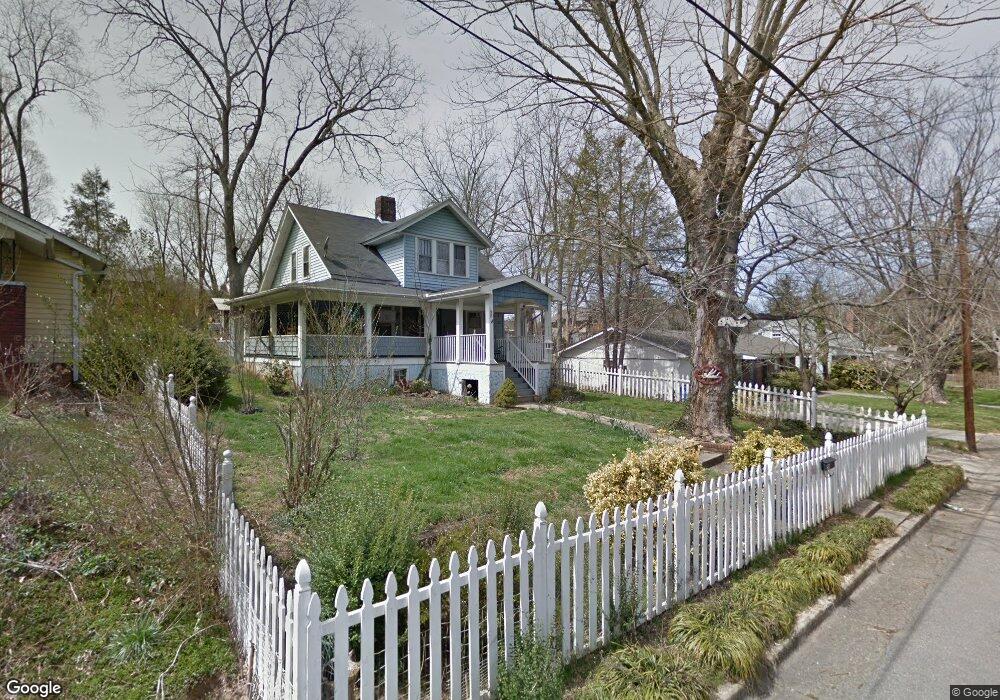
58 Herron Ave Asheville, NC 28806
West Asheville NeighborhoodEstimated Value: $403,940 - $518,000
4
Beds
2
Baths
1,156
Sq Ft
$383/Sq Ft
Est. Value
About This Home
This home is located at 58 Herron Ave, Asheville, NC 28806 and is currently estimated at $442,235, approximately $382 per square foot. 58 Herron Ave is a home located in Buncombe County with nearby schools including Hall Fletcher Elementary, Isaac Dickson Elementary, and Ira B Jones Elementary.
Ownership History
Date
Name
Owned For
Owner Type
Purchase Details
Closed on
Apr 11, 2011
Sold by
Lape Scott
Bought by
Lape Janice F
Current Estimated Value
Purchase Details
Closed on
Aug 13, 1999
Sold by
Roberts Anthony
Bought by
Lape Scott and Lape Janice
Home Financials for this Owner
Home Financials are based on the most recent Mortgage that was taken out on this home.
Original Mortgage
$32,311
Outstanding Balance
$9,285
Interest Rate
7.65%
Mortgage Type
Unknown
Estimated Equity
$432,950
Create a Home Valuation Report for This Property
The Home Valuation Report is an in-depth analysis detailing your home's value as well as a comparison with similar homes in the area
Home Values in the Area
Average Home Value in this Area
Purchase History
| Date | Buyer | Sale Price | Title Company |
|---|---|---|---|
| Lape Janice F | -- | None Available | |
| Lape Scott | $40,000 | -- |
Source: Public Records
Mortgage History
| Date | Status | Borrower | Loan Amount |
|---|---|---|---|
| Open | Lape Scott | $32,311 |
Source: Public Records
Tax History Compared to Growth
Tax History
| Year | Tax Paid | Tax Assessment Tax Assessment Total Assessment is a certain percentage of the fair market value that is determined by local assessors to be the total taxable value of land and additions on the property. | Land | Improvement |
|---|---|---|---|---|
| 2025 | $1,281 | $248,000 | $110,000 | $138,000 |
| 2024 | $1,281 | $248,000 | $110,000 | $138,000 |
| 2023 | $1,281 | $248,000 | $110,000 | $138,000 |
| 2022 | $1,237 | $248,000 | $0 | $0 |
| 2021 | $1,237 | $248,000 | $0 | $0 |
| 2020 | $1,116 | $207,100 | $0 | $0 |
| 2019 | $1,116 | $207,100 | $0 | $0 |
| 2018 | $1,116 | $207,100 | $0 | $0 |
| 2017 | $1,127 | $142,200 | $0 | $0 |
| 2016 | $874 | $142,200 | $0 | $0 |
| 2015 | $874 | $142,200 | $0 | $0 |
| 2014 | $863 | $142,200 | $0 | $0 |
Source: Public Records
Map
Nearby Homes
- 55 Herron Ave
- 31 Oakwood St
- 54 Louisiana Ave
- 18 Sand Hill Rd
- 30 Sand Hill Rd
- 18 Jarrett St
- 197 Brucemont Cir
- 20 Cloyes St
- 5 Orrinel Way
- 141 Louisiana Ave
- 60 Dorchester Ave
- 74 Brucemont Cir
- 27 Mauricet Ln
- 7 Mauricet Ln
- 56 Brevard Rd
- 75 Nevada Ave
- 32 Harnett St
- 68 1/2 Nevada Ave
- 99 Nevada Ave
- 91 Virginia Ave
- 54 Herron Ave
- 64 Herron Ave
- 62 Herron Ave
- 50 Herron Ave
- 21 Greenwood Ave
- 15 Greenwood Ave
- 39 Mildred Ave
- 41 Mildred Ave
- 41 Mildred Ave Unit 2
- 41 Mildred Ave Unit 1
- 72 Herron Ave
- 46 Herron Ave
- 57 Herron Ave
- 43 Mildred Ave
- 19 Saluda St Unit 3
- 19 Saluda St
- 59 Herron Ave
- 53 Herron Ave
- 31 Mildred Ave
- 49 Mildred Ave