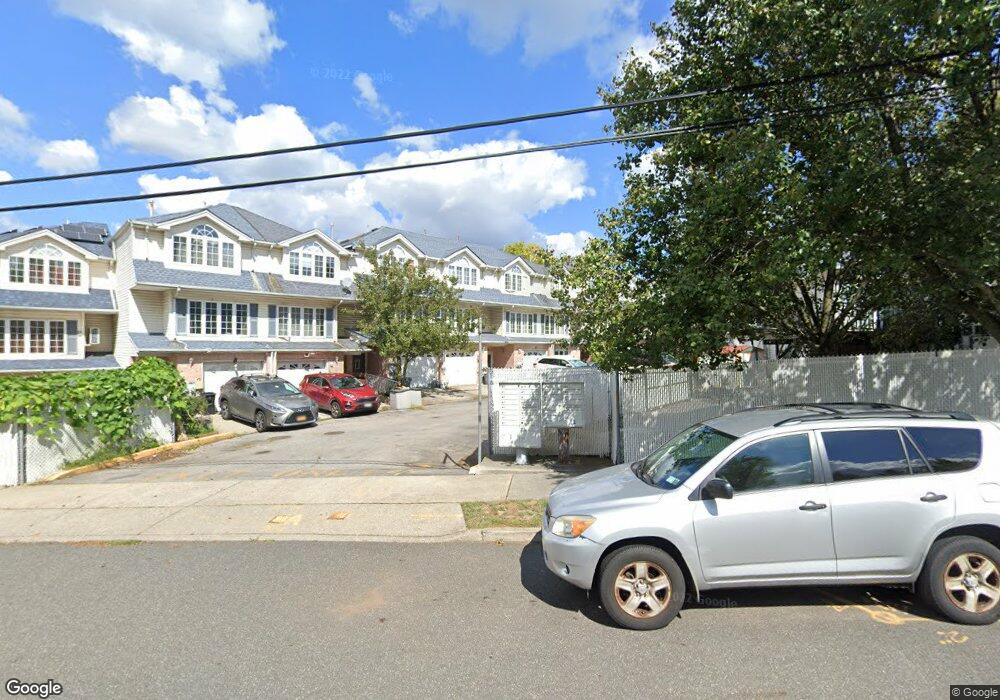
58 Larrison Loop Staten Island, NY 10314
Willowbrook NeighborhoodEstimated Value: $798,679 - $1,056,000
Studio
--
Bath
2,200
Sq Ft
$438/Sq Ft
Est. Value
About This Home
This home is located at 58 Larrison Loop, Staten Island, NY 10314 and is currently estimated at $963,920, approximately $438 per square foot. 58 Larrison Loop is a home located in Richmond County with nearby schools including P.S. 54 Charles W Leng, Is 72 Rocco Laurie, and Susan E Wagner High School.
Ownership History
Date
Name
Owned For
Owner Type
Purchase Details
Closed on
May 11, 2001
Sold by
Ng Tsz Keung
Bought by
Ng Tsz Keung and Li Ching
Current Estimated Value
Purchase Details
Closed on
Dec 15, 2000
Sold by
Tower Hill Development Corp
Bought by
Ng Tsz Keung
Home Financials for this Owner
Home Financials are based on the most recent Mortgage that was taken out on this home.
Original Mortgage
$190,000
Outstanding Balance
$69,109
Interest Rate
7.52%
Estimated Equity
$894,811
Create a Home Valuation Report for This Property
The Home Valuation Report is an in-depth analysis detailing your home's value as well as a comparison with similar homes in the area
Home Values in the Area
Average Home Value in this Area
Purchase History
| Date | Buyer | Sale Price | Title Company |
|---|---|---|---|
| Ng Tsz Keung | -- | -- | |
| Ng Tsz Keung | $258,000 | -- |
Source: Public Records
Mortgage History
| Date | Status | Borrower | Loan Amount |
|---|---|---|---|
| Open | Ng Tsz Keung | $190,000 |
Source: Public Records
Tax History
| Year | Tax Paid | Tax Assessment Tax Assessment Total Assessment is a certain percentage of the fair market value that is determined by local assessors to be the total taxable value of land and additions on the property. | Land | Improvement |
|---|---|---|---|---|
| 2025 | $6,782 | $53,820 | $3,528 | $50,292 |
| 2024 | $6,794 | $52,680 | $3,605 | $49,075 |
| 2023 | $6,489 | $33,350 | $3,651 | $29,699 |
| 2022 | $6,286 | $42,840 | $5,400 | $37,440 |
| 2021 | $6,234 | $37,500 | $5,400 | $32,100 |
| 2020 | $5,907 | $37,860 | $5,400 | $32,460 |
| 2019 | $5,837 | $36,480 | $5,400 | $31,080 |
| 2018 | $5,368 | $27,792 | $4,866 | $22,926 |
| 2017 | $5,294 | $27,438 | $5,177 | $22,261 |
| 2016 | $4,865 | $25,885 | $5,380 | $20,505 |
| 2015 | $4,381 | $24,420 | $4,560 | $19,860 |
| 2014 | $4,381 | $24,420 | $4,560 | $19,860 |
Source: Public Records
Map
Nearby Homes
- 24 Larrison Loop
- 566 Buchanan Ave Unit B
- 566 Buchanan Ave
- 355 Bradley Ave
- 225 Wellbrook Ave
- 192 Graves St
- 240 Harold St
- 155 Graves St
- 296 Bradley Ave
- 251 Graves St
- 309 Brielle Ave
- 191 Suffolk Ave
- 35 Duke Place
- 953 Forest Hill Rd
- 380 Gansevoort Blvd
- 31 Livingston Ave
- 19 Roosevelt Ave
- 16 Ismay St
- 288 Martin Ave
- 0 Roosevelt Ave
- 56 Larrison Loop
- 60 Larrison Loop
- 54 Larrison Loop
- 62 Larrison Loop
- 52 Larrison Loop
- 64 Larrison Loop
- 66 Larrison Loop
- 66 Larrison Loop Unit 2
- 50 Larrison Loop
- 81 Sunset Ave
- 362 Harold St
- 358 Harold St
- 79 Sunset Ave
- 68 Larrison Loop
- 366 Harold St
- 77 Sunset Ave
- 354 Harold St
- 372 Harold St
- 75 Sunset Ave
- 348 Harold St
Your Personal Tour Guide
Ask me questions while you tour the home.