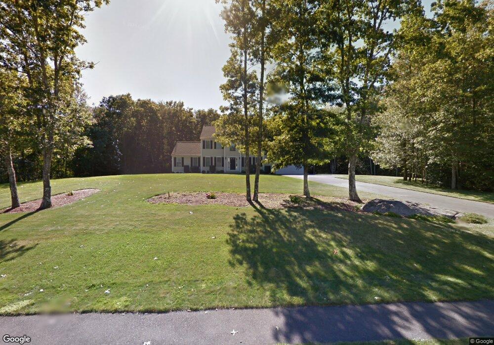
58 Lighthouse Ln Westport, MA 02790
North Westport NeighborhoodEstimated Value: $691,522 - $877,000
3
Beds
--
Bath
2,182
Sq Ft
$359/Sq Ft
Est. Value
About This Home
This home is located at 58 Lighthouse Ln, Westport, MA 02790 and is currently estimated at $782,381, approximately $358 per square foot. 58 Lighthouse Ln is a home located in Bristol County with nearby schools including Alice A. Macomber Primary School, Westport Elementary School, and Westport Middle-High School.
Ownership History
Date
Name
Owned For
Owner Type
Purchase Details
Closed on
Feb 1, 2005
Sold by
Long Built Homes Inc
Bought by
Torres Katherine and Selover Sean P
Current Estimated Value
Home Financials for this Owner
Home Financials are based on the most recent Mortgage that was taken out on this home.
Original Mortgage
$333,700
Interest Rate
5.67%
Mortgage Type
Purchase Money Mortgage
Create a Home Valuation Report for This Property
The Home Valuation Report is an in-depth analysis detailing your home's value as well as a comparison with similar homes in the area
Home Values in the Area
Average Home Value in this Area
Purchase History
| Date | Buyer | Sale Price | Title Company |
|---|---|---|---|
| Torres Katherine | $488,590 | -- |
Source: Public Records
Mortgage History
| Date | Status | Borrower | Loan Amount |
|---|---|---|---|
| Open | Torres Katherine | $286,000 | |
| Closed | Torres Katherine | $333,700 |
Source: Public Records
Tax History
| Year | Tax Paid | Tax Assessment Tax Assessment Total Assessment is a certain percentage of the fair market value that is determined by local assessors to be the total taxable value of land and additions on the property. | Land | Improvement |
|---|---|---|---|---|
| 2025 | $4,436 | $595,400 | $210,800 | $384,600 |
| 2024 | $4,416 | $571,300 | $195,300 | $376,000 |
| 2023 | $4,375 | $536,100 | $186,000 | $350,100 |
| 2022 | $4,092 | $482,600 | $186,000 | $296,600 |
| 2021 | $3,970 | $460,500 | $169,100 | $291,400 |
| 2020 | $3,826 | $453,800 | $162,400 | $291,400 |
| 2019 | $3,724 | $450,300 | $162,400 | $287,900 |
| 2018 | $3,365 | $411,900 | $130,300 | $281,600 |
| 2017 | $3,307 | $414,900 | $132,800 | $282,100 |
| 2016 | $3,083 | $389,700 | $137,800 | $251,900 |
| 2015 | $3,054 | $385,100 | $140,300 | $244,800 |
Source: Public Records
Map
Nearby Homes
- 47 Devol Ave
- 45 Greenfield Rd
- 33 Moniz Dr
- 24 Greenfield Rd
- 329 Tickle Rd
- 218 American Legion Hwy
- 259 Tickle Rd
- 0 Tickle Rd Unit 73453134
- 40 Sycamore Ln
- 2 Magnolia Ln
- 771 Sanford Rd
- 100 Corys Ln
- 85 Watuppa Rd
- 6 Angel Ct
- 179 Robert St
- 47 Robert St
- 105 Florence St
- 8 Campion Ave
- 1023 Old Stafford Rd
- 100 D Dr
- 54 Lighthouse Ln
- 54 Lighthouse Ln
- 62 Lighthouse Ln
- 1 Spinnaker Way
- 61 Lighthouse Ln
- 57 Lighthouse Ln
- 50 Lighthouse Ln
- 65 Lighthouse Ln
- 49 Lighthouse Ln
- 46 Lighthouse Ln
- 46 Lighthouse Ln
- 66 Lighthouse Ln
- 6 Spinnaker Way
- 10 Spinnaker Way
- 42 Lighthouse Ln
- 11 Spinnaker Way
- 29 Devol Ave
- 31 Devol Ave Unit Lot 16
- 41 Lighthouse Ln
- 27 Devol Ave
Your Personal Tour Guide
Ask me questions while you tour the home.