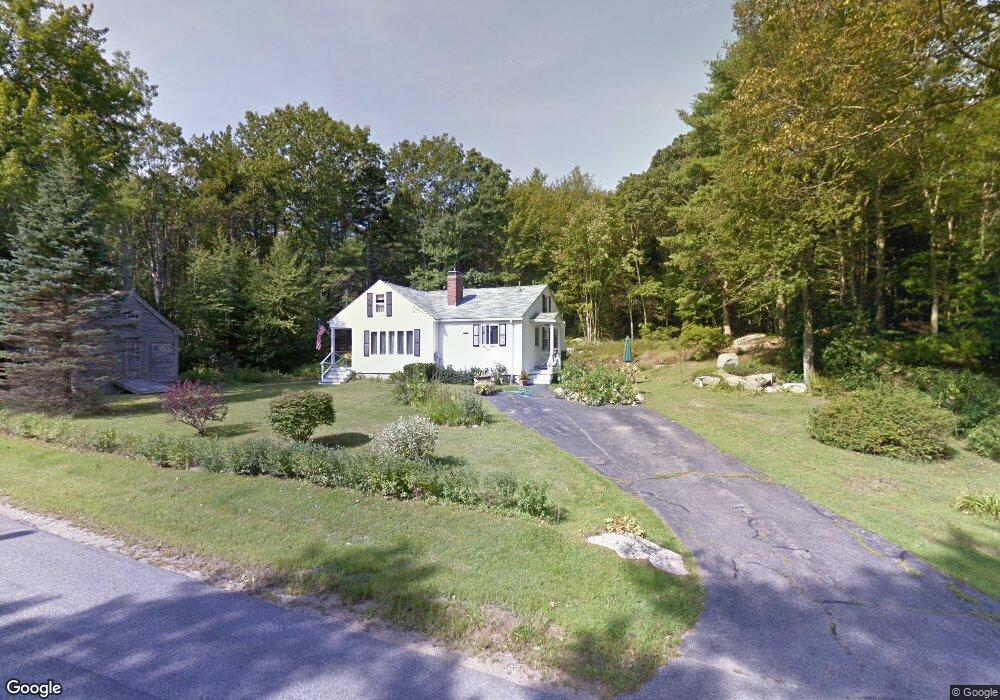
58 Logging Rd Cape Neddick, ME 03902
Ogunquit NeighborhoodEstimated Value: $490,000 - $567,000
2
Beds
1
Bath
1,040
Sq Ft
$506/Sq Ft
Est. Value
About This Home
This home is located at 58 Logging Rd, Cape Neddick, ME 03902 and is currently estimated at $526,008, approximately $505 per square foot. 58 Logging Rd is a home located in York County with nearby schools including Coastal Ridge Elementary School, Village Elementary School, and York Middle School.
Ownership History
Date
Name
Owned For
Owner Type
Purchase Details
Closed on
Nov 13, 2009
Sold by
Bracy Edmund Est
Bought by
Fraize Steven G
Current Estimated Value
Home Financials for this Owner
Home Financials are based on the most recent Mortgage that was taken out on this home.
Original Mortgage
$206,196
Outstanding Balance
$134,500
Interest Rate
4.98%
Mortgage Type
FHA
Estimated Equity
$391,508
Create a Home Valuation Report for This Property
The Home Valuation Report is an in-depth analysis detailing your home's value as well as a comparison with similar homes in the area
Home Values in the Area
Average Home Value in this Area
Purchase History
| Date | Buyer | Sale Price | Title Company |
|---|---|---|---|
| Fraize Steven G | -- | -- | |
| Fraize Steven G | -- | -- |
Source: Public Records
Mortgage History
| Date | Status | Borrower | Loan Amount |
|---|---|---|---|
| Open | Fraize Steven G | $206,196 | |
| Closed | Fraize Steven G | $206,196 |
Source: Public Records
Tax History
| Year | Tax Paid | Tax Assessment Tax Assessment Total Assessment is a certain percentage of the fair market value that is determined by local assessors to be the total taxable value of land and additions on the property. | Land | Improvement |
|---|---|---|---|---|
| 2024 | $3,267 | $388,900 | $187,300 | $201,600 |
| 2023 | $2,853 | $337,600 | $136,000 | $201,600 |
| 2022 | $2,722 | $318,400 | $136,000 | $182,400 |
| 2021 | $2,586 | $259,900 | $105,700 | $154,200 |
| 2020 | $2,575 | $232,000 | $105,700 | $126,300 |
| 2019 | $2,385 | $213,900 | $87,600 | $126,300 |
| 2018 | $2,385 | $213,900 | $87,600 | $126,300 |
| 2017 | $2,248 | $205,300 | $87,600 | $117,700 |
| 2016 | $2,222 | $199,300 | $81,600 | $117,700 |
| 2015 | $2,158 | $196,200 | $78,500 | $117,700 |
| 2014 | $2,099 | $196,200 | $78,500 | $117,700 |
| 2013 | $2,015 | $193,200 | $75,500 | $117,700 |
Source: Public Records
Map
Nearby Homes
- 141 Logging Rd
- 16 Zoe's Way
- 20 Zoe's Way
- 1 Ruby Rd
- 1376 Us Route 1
- 1327 U S 1
- 1 Josiah Norton Rd
- 3 Hales Rd
- 350 Pine Hill Rd
- 147 River Rd
- 62 Pine Hill Rd S Unit 101
- 4 Hamlin Place
- 413 Shore Rd
- 90 Bald Head Cliff Rd
- 31 Clay Hill Rd
- 113 Perkins Cove Rd
- 0 Cooley Ln
- 99 Freeman St
- Lot A 51 Main St
- 33 Rocky Ln
- 57 Logging Rd
- 61 Logging Rd
- 3 Peter Weare Rd
- 6 Peter Weare Rd
- 55 Logging Rd
- 5 Peter Weare Rd
- 66 Logging Rd
- 65 Logging Rd
- 7 Peter Weare Rd
- 8 Peter Weare Rd
- 50 Logging Rd
- 9 Peter Weare Rd
- 70 Logging Rd
- 46 Logging Rd
- 12 Peter Weare Rd
- 1 Ryans Way
- 11 Peter Weare Rd
- 2 Ryans Way
- 42 Logging Rd
- 1586 Us Route 1
Your Personal Tour Guide
Ask me questions while you tour the home.