Estimated Value: $417,000 - $444,787
2
Beds
1
Bath
832
Sq Ft
$512/Sq Ft
Est. Value
About This Home
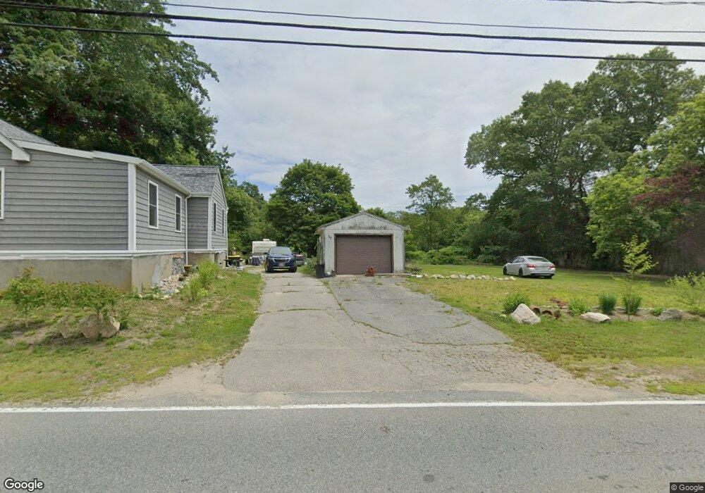
This home is located at 58 Main Rd, Westport, MA 02790 and is currently estimated at $425,697, approximately $511 per square foot. 58 Main Rd is a home located in Bristol County with nearby schools including Alice A. Macomber Primary School, Westport Elementary School, and Westport Middle-High School.
Ownership History
Date
Name
Owned For
Owner Type
Purchase Details
Closed on
Nov 1, 2018
Sold by
Hall Stephen M and Hall Michele
Bought by
Mota Dulce
Current Estimated Value
Home Financials for this Owner
Home Financials are based on the most recent Mortgage that was taken out on this home.
Original Mortgage
$170,000
Outstanding Balance
$150,082
Interest Rate
5%
Mortgage Type
New Conventional
Estimated Equity
$275,615
Purchase Details
Closed on
Mar 1, 2002
Sold by
Florence Croy Ft
Bought by
Hall Stephen M and Hall Michele
Home Financials for this Owner
Home Financials are based on the most recent Mortgage that was taken out on this home.
Original Mortgage
$174,063
Interest Rate
6.85%
Mortgage Type
Purchase Money Mortgage
Create a Home Valuation Report for This Property
The Home Valuation Report is an in-depth analysis detailing your home's value as well as a comparison with similar homes in the area
Home Values in the Area
Average Home Value in this Area
Purchase History
| Date | Buyer | Sale Price | Title Company |
|---|---|---|---|
| Mota Dulce | $170,000 | -- | |
| Hall Stephen M | $170,650 | -- |
Source: Public Records
Mortgage History
| Date | Status | Borrower | Loan Amount |
|---|---|---|---|
| Open | Mota Dulce | $170,000 | |
| Previous Owner | Hall Stephen M | $68,000 | |
| Previous Owner | Hall Stephen M | $179,000 | |
| Previous Owner | Hall Stephen M | $174,063 |
Source: Public Records
Tax History Compared to Growth
Tax History
| Year | Tax Paid | Tax Assessment Tax Assessment Total Assessment is a certain percentage of the fair market value that is determined by local assessors to be the total taxable value of land and additions on the property. | Land | Improvement |
|---|---|---|---|---|
| 2025 | $2,739 | $367,600 | $190,600 | $177,000 |
| 2024 | $2,670 | $345,400 | $169,700 | $175,700 |
| 2023 | $2,442 | $299,300 | $147,400 | $151,900 |
| 2022 | $2,196 | $274,000 | $147,400 | $126,600 |
| 2021 | $2,196 | $254,800 | $128,200 | $126,600 |
| 2020 | $1,655 | $196,300 | $116,900 | $79,400 |
| 2019 | $1,613 | $195,000 | $116,900 | $78,100 |
| 2018 | $1,546 | $189,200 | $127,800 | $61,400 |
| 2017 | $1,470 | $184,400 | $124,000 | $60,400 |
| 2016 | $1,437 | $181,700 | $120,300 | $61,400 |
| 2015 | $1,420 | $179,100 | $122,800 | $56,300 |
Source: Public Records
Map
Nearby Homes
- 4 Main Rd
- Lot 0 Marcotte
- 47 Fallon Dr
- 118 Charlotte White Rd
- 0 Hidden Glen Ln
- 27 Dias Ave
- 118 Charlotte White Rd Extension
- 6 Angel Ct
- 8 Strawberry Ln
- 771 Sanford Rd
- 96 Forge Rd
- 218 American Legion Hwy
- 9 Kyle Jacob Rd
- 29 Union Ave
- 3 Roller Coaster Way Unit Lot 1
- 47 Devol Ave
- 16 S Berryman St
- 15 S Breault St
- 978 Sodom Rd
- 116 Gifford Rd