58 Maple Ave Norfolk, CT 06058
Estimated Value: $465,811 - $523,000
4
Beds
3
Baths
2,653
Sq Ft
$185/Sq Ft
Est. Value
About This Home
This home is located at 58 Maple Ave, Norfolk, CT 06058 and is currently estimated at $489,953, approximately $184 per square foot. 58 Maple Ave is a home located in Litchfield County with nearby schools including Botelle Elementary School, Northwestern Regional Middle School, and Northwestern Regional High School.
Ownership History
Date
Name
Owned For
Owner Type
Purchase Details
Closed on
Jun 30, 1995
Sold by
Dime Sb Ny
Bought by
Currier Donald C and Currier Kim E
Current Estimated Value
Home Financials for this Owner
Home Financials are based on the most recent Mortgage that was taken out on this home.
Original Mortgage
$99,000
Interest Rate
6.63%
Mortgage Type
Unknown
Purchase Details
Closed on
Oct 31, 1988
Sold by
Passamano Salvatore
Bought by
Fritz Walter
Create a Home Valuation Report for This Property
The Home Valuation Report is an in-depth analysis detailing your home's value as well as a comparison with similar homes in the area
Home Values in the Area
Average Home Value in this Area
Purchase History
| Date | Buyer | Sale Price | Title Company |
|---|---|---|---|
| Currier Donald C | $110,000 | -- | |
| Currier Donald C | $110,000 | -- | |
| Fritz Walter | $180,000 | -- |
Source: Public Records
Mortgage History
| Date | Status | Borrower | Loan Amount |
|---|---|---|---|
| Open | Fritz Walter | $200,000 | |
| Closed | Fritz Walter | $101,000 | |
| Closed | Fritz Walter | $99,000 |
Source: Public Records
Tax History
| Year | Tax Paid | Tax Assessment Tax Assessment Total Assessment is a certain percentage of the fair market value that is determined by local assessors to be the total taxable value of land and additions on the property. | Land | Improvement |
|---|---|---|---|---|
| 2025 | $7,190 | $319,690 | $40,320 | $279,370 |
| 2024 | $5,783 | $203,610 | $40,240 | $163,370 |
| 2023 | $5,638 | $203,610 | $40,240 | $163,370 |
| 2022 | $5,669 | $203,610 | $40,240 | $163,370 |
| 2021 | $5,479 | $203,610 | $40,240 | $163,370 |
| 2020 | $5,290 | $203,610 | $40,240 | $163,370 |
| 2019 | $5,493 | $203,610 | $40,240 | $163,370 |
| 2018 | $5,359 | $227,380 | $52,470 | $174,910 |
| 2017 | $5,105 | $227,380 | $52,470 | $174,910 |
| 2016 | $5,023 | $227,380 | $52,470 | $174,910 |
| 2015 | $4,991 | $227,380 | $52,470 | $174,910 |
| 2014 | $5,096 | $227,380 | $52,470 | $174,910 |
Source: Public Records
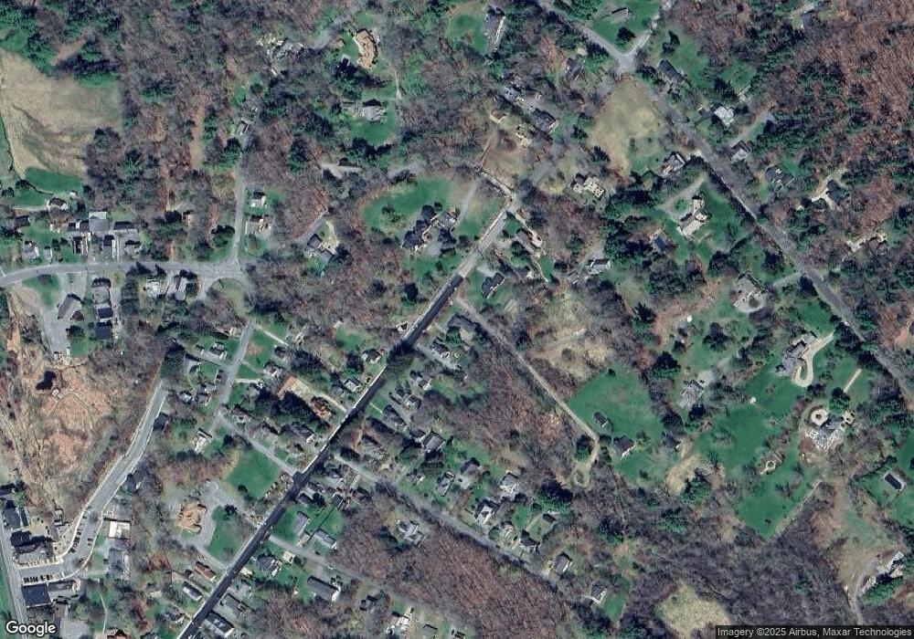
Map
Nearby Homes
- 21 Shepard Rd
- 00 Laurel Way
- 93 Greenwoods Rd E
- 0 Old Colony Rd
- 16 River Place
- 00 Greenwoods Rd E
- 70 Colebrook Rd
- 210 Doolittle Dr
- 649 Litchfield Rd
- 0 Old Goshen Rd
- 0A Old Goshen Rd
- 0B Old Goshen Rd
- 50 Pine Rd
- 127 Old Goshen Rd
- 0 Winsted Norfolk Rd Unit 24089254
- 11 Shantry Rd
- 106A Pinney St
- 0 Prock Hill Rd
- 123 Goshen East St
- 1333 Norfolk Rd
Your Personal Tour Guide
Ask me questions while you tour the home.