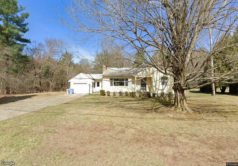
58 Maple St Holliston, MA 01746
Estimated Value: $436,000 - $549,000
2
Beds
1
Bath
982
Sq Ft
$501/Sq Ft
Est. Value
About This Home
This home is located at 58 Maple St, Holliston, MA 01746 and is currently estimated at $492,138, approximately $501 per square foot. 58 Maple St is a home located in Middlesex County with nearby schools including Placentino Elementary School, Miller Elementary School, and Robert H. Adams Middle School.
Ownership History
Date
Name
Owned For
Owner Type
Purchase Details
Closed on
Oct 12, 2021
Sold by
Delouchry Margaret
Bought by
Lima-Pacheco Amandha F
Current Estimated Value
Home Financials for this Owner
Home Financials are based on the most recent Mortgage that was taken out on this home.
Original Mortgage
$332,500
Outstanding Balance
$303,209
Interest Rate
2.8%
Mortgage Type
Purchase Money Mortgage
Estimated Equity
$188,929
Purchase Details
Closed on
May 20, 2016
Sold by
Murphy June W
Bought by
Delouchry Margaret
Purchase Details
Closed on
Aug 28, 1979
Bought by
Murphy William and Murphy June W
Create a Home Valuation Report for This Property
The Home Valuation Report is an in-depth analysis detailing your home's value as well as a comparison with similar homes in the area
Home Values in the Area
Average Home Value in this Area
Purchase History
| Date | Buyer | Sale Price | Title Company |
|---|---|---|---|
| Lima-Pacheco Amandha F | $350,000 | None Available | |
| Delouchry Margaret | -- | -- | |
| Murphy William | $52,500 | -- |
Source: Public Records
Mortgage History
| Date | Status | Borrower | Loan Amount |
|---|---|---|---|
| Open | Lima-Pacheco Amandha F | $332,500 |
Source: Public Records
Tax History
| Year | Tax Paid | Tax Assessment Tax Assessment Total Assessment is a certain percentage of the fair market value that is determined by local assessors to be the total taxable value of land and additions on the property. | Land | Improvement |
|---|---|---|---|---|
| 2025 | $6,377 | $435,300 | $227,100 | $208,200 |
| 2024 | $5,891 | $391,200 | $227,100 | $164,100 |
| 2023 | $5,917 | $384,200 | $227,100 | $157,100 |
| 2022 | $6,139 | $353,200 | $227,100 | $126,100 |
| 2021 | $6,149 | $344,500 | $216,300 | $128,200 |
| 2020 | $5,879 | $311,900 | $196,900 | $115,000 |
| 2019 | $5,768 | $306,300 | $191,100 | $115,200 |
| 2018 | $5,719 | $306,300 | $191,100 | $115,200 |
| 2017 | $5,489 | $296,400 | $195,100 | $101,300 |
| 2016 | $5,051 | $268,800 | $167,500 | $101,300 |
| 2015 | $4,702 | $242,600 | $134,000 | $108,600 |
Source: Public Records
Map
Nearby Homes
- 152 Turner Rd Unit 13
- 147 Turner Rd Unit 80
- 11 Wingate Rd
- 59 Brooksmont Dr Unit 59
- 74 Meeting House Path
- 26 Meeting House Path Unit 26
- 269 Concord St
- 3 Danforth Dr
- 1 Danforth Dr
- 33 Garett Way Unit 33
- 54 Garett Way Unit 54
- 37 Garett Way Unit 37
- 241 Trailside Way
- 306 Trailside Way
- 207 Eliot St
- 140 Concord St
- 160 Winter St
- 363 Eliot St
- 2 Adams Rd Unit 2
- 1 Adams Rd
Your Personal Tour Guide
Ask me questions while you tour the home.