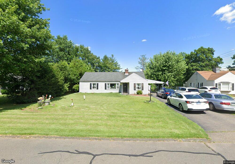
58 Mapleside Dr Wethersfield, CT 06109
Estimated Value: $311,000 - $324,000
2
Beds
1
Bath
1,132
Sq Ft
$280/Sq Ft
Est. Value
About This Home
This home is located at 58 Mapleside Dr, Wethersfield, CT 06109 and is currently estimated at $317,066, approximately $280 per square foot. 58 Mapleside Dr is a home located in Hartford County with nearby schools including Emerson-Williams School, Silas Deane Middle School, and Wethersfield High School.
Ownership History
Date
Name
Owned For
Owner Type
Purchase Details
Closed on
Jun 2, 2006
Sold by
Ohare John R and Oharge Therese D
Bought by
Banks Russell and Banks Mariapia
Current Estimated Value
Home Financials for this Owner
Home Financials are based on the most recent Mortgage that was taken out on this home.
Original Mortgage
$190,000
Outstanding Balance
$104,887
Interest Rate
5.5%
Estimated Equity
$212,179
Create a Home Valuation Report for This Property
The Home Valuation Report is an in-depth analysis detailing your home's value as well as a comparison with similar homes in the area
Home Values in the Area
Average Home Value in this Area
Purchase History
| Date | Buyer | Sale Price | Title Company |
|---|---|---|---|
| Banks Russell | $190,000 | -- |
Source: Public Records
Mortgage History
| Date | Status | Borrower | Loan Amount |
|---|---|---|---|
| Open | Banks Russell | $190,000 | |
| Closed | Banks Russell | $190,000 |
Source: Public Records
Tax History
| Year | Tax Paid | Tax Assessment Tax Assessment Total Assessment is a certain percentage of the fair market value that is determined by local assessors to be the total taxable value of land and additions on the property. | Land | Improvement |
|---|---|---|---|---|
| 2025 | $8,082 | $196,070 | $94,740 | $101,330 |
| 2024 | $5,454 | $126,200 | $73,500 | $52,700 |
| 2023 | $5,273 | $126,200 | $73,500 | $52,700 |
| 2022 | $5,184 | $126,200 | $73,500 | $52,700 |
| 2021 | $5,133 | $126,200 | $73,500 | $52,700 |
| 2020 | $5,135 | $126,200 | $73,500 | $52,700 |
| 2019 | $5,141 | $126,200 | $73,500 | $52,700 |
| 2018 | $5,301 | $130,000 | $71,500 | $58,500 |
| 2017 | $5,170 | $130,000 | $71,500 | $58,500 |
| 2016 | $5,010 | $130,000 | $71,500 | $58,500 |
| 2015 | $4,965 | $130,000 | $71,500 | $58,500 |
| 2014 | $4,776 | $130,000 | $71,500 | $58,500 |
Source: Public Records
Map
Nearby Homes
- 116 Wells Farm Dr
- 137 Dale Rd
- 455 Brimfield Rd
- 250 Edward St
- 104 Willow St
- 89 Merriman Rd
- 38 Wheeler Rd
- 20 Forest Dr
- 108 Chamberlain Rd
- 35 Stillwold Dr
- 273 Forest Dr
- 87 Somerset St
- 91 Somerset St
- 7 Barrington Dr Unit C
- 31 Ox Yoke Dr
- 0 Collier Rd
- 35 Kingston St
- 173 Timber Trail
- 101 Collier Rd
- 192 Wolcott Hill Rd
Your Personal Tour Guide
Ask me questions while you tour the home.