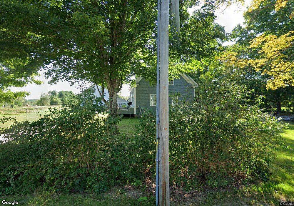
58 Mckenney Rd Saco, ME 04072
North Saco NeighborhoodEstimated Value: $277,000 - $564,000
3
Beds
3
Baths
1,800
Sq Ft
$245/Sq Ft
Est. Value
About This Home
This home is located at 58 Mckenney Rd, Saco, ME 04072 and is currently estimated at $440,734, approximately $244 per square foot. 58 Mckenney Rd is a home located in York County with nearby schools including C K Burns School and Saco Middle School.
Ownership History
Date
Name
Owned For
Owner Type
Purchase Details
Closed on
Feb 9, 2021
Sold by
Doughty Peter C
Bought by
Doughty Peter C and Doughty Cristin A
Current Estimated Value
Home Financials for this Owner
Home Financials are based on the most recent Mortgage that was taken out on this home.
Original Mortgage
$231,000
Outstanding Balance
$206,245
Interest Rate
2.6%
Mortgage Type
Purchase Money Mortgage
Estimated Equity
$234,489
Purchase Details
Closed on
Jun 27, 2013
Sold by
58 Mckenney Rd Llc
Bought by
Doughty Peter C
Home Financials for this Owner
Home Financials are based on the most recent Mortgage that was taken out on this home.
Original Mortgage
$201,224
Interest Rate
3.51%
Mortgage Type
Purchase Money Mortgage
Purchase Details
Closed on
Oct 27, 2011
Sold by
Dargi Gregory A
Bought by
58 Mckenney Road Llc
Create a Home Valuation Report for This Property
The Home Valuation Report is an in-depth analysis detailing your home's value as well as a comparison with similar homes in the area
Home Values in the Area
Average Home Value in this Area
Purchase History
| Date | Buyer | Sale Price | Title Company |
|---|---|---|---|
| Doughty Peter C | -- | None Available | |
| Doughty Peter C | -- | -- | |
| 58 Mckenney Road Llc | $125,000 | -- |
Source: Public Records
Mortgage History
| Date | Status | Borrower | Loan Amount |
|---|---|---|---|
| Open | Doughty Peter C | $231,000 | |
| Previous Owner | Doughty Peter C | $201,224 |
Source: Public Records
Tax History Compared to Growth
Tax History
| Year | Tax Paid | Tax Assessment Tax Assessment Total Assessment is a certain percentage of the fair market value that is determined by local assessors to be the total taxable value of land and additions on the property. | Land | Improvement |
|---|---|---|---|---|
| 2024 | $5,411 | $385,100 | $172,100 | $213,000 |
| 2023 | $5,680 | $385,100 | $172,100 | $213,000 |
| 2022 | $5,310 | $289,700 | $131,500 | $158,200 |
| 2021 | $5,122 | $271,300 | $118,500 | $152,800 |
| 2020 | $4,841 | $246,100 | $104,300 | $141,800 |
| 2019 | $4,769 | $246,100 | $104,300 | $141,800 |
| 2018 | $4,589 | $236,800 | $95,000 | $141,800 |
| 2017 | $4,415 | $227,800 | $87,200 | $140,600 |
| 2016 | $4,634 | $238,600 | $70,200 | $168,400 |
| 2015 | $4,528 | $235,600 | $68,900 | $166,700 |
| 2014 | $4,387 | $235,600 | $68,900 | $166,700 |
| 2013 | $4,377 | $235,600 | $68,900 | $166,700 |
Source: Public Records
Map
Nearby Homes
- 130 Mckenney Rd
- 110/009 Mast Hill Rd
- 3 Nonesuch Rd
- Lot 1 & 2 Memory Ln
- 9 Jada Dr
- 436 Flag Pond Rd
- 5 Marguerite Rd
- 295 Buxton Rd
- 9 Bonita Way
- 177 Old Orchard Rd
- 91 C Broadturn Rd
- 445 Portland Rd
- 15 Silver Brook Cir
- 75 Ash Swamp Rd
- 0 Beech Plains Rd
- 28 E Wind Dr
- 158 Lord Rd
- 74 Hearn Rd
- Lot 72 Martell Way
- 48 Tickle Way
- 48 Mckenney Rd
- 62 Mckenney Rd
- 46 Mckenney Rd
- 52 Mckenney Rd
- 45 Mckenney Rd
- 72 Mckenney Rd
- 74 Mckenney Rd
- 000 Mckenney Rd
- 35 Mckenney Rd
- 35 Mckenney Rd Unit 101
- 35 Mckenney Rd Unit A
- 35 Mckenney Rd Unit 102
- 34 Mckenney Rd
- 76 Mckenney Rd
- 155 Watson Mill Rd
- 25 Mckenney Rd
- 128 Watson Mill Rd
- 147 Watson Mill Rd
- 91 Mckenney Rd
- 5 Wedgewood Dr