58 N River Pointe Dr Logan, UT 84321
Wilson NeighborhoodEstimated Value: $613,000
Studio
--
Bath
--
Sq Ft
5,663
Sq Ft Lot
About This Home
This home is located at 58 N River Pointe Dr, Logan, UT 84321 and is currently estimated at $613,000. 58 N River Pointe Dr is a home located in Cache County with nearby schools including Wilson School, Mount Logan Middle School, and Logan High School.
Ownership History
Date
Name
Owned For
Owner Type
Purchase Details
Closed on
Dec 2, 2021
Sold by
Fisher Michael Alan
Bought by
Shelton Ken
Current Estimated Value
Purchase Details
Closed on
Jun 9, 2016
Sold by
Vandyke Robert H and Vandyke Clara Nelle
Bought by
Fisher Michael Alan
Purchase Details
Closed on
Oct 23, 2006
Sold by
Gibson Dale C and Gibson Fern D
Bought by
Vandyke Robert H and Vandyke Clara Nelle
Purchase Details
Closed on
Aug 23, 2001
Sold by
Gibson Dale C and Gibson Fern D
Bought by
Gibson Dale C and Gibson Fern D
Create a Home Valuation Report for This Property
The Home Valuation Report is an in-depth analysis detailing your home's value as well as a comparison with similar homes in the area
Home Values in the Area
Average Home Value in this Area
Purchase History
| Date | Buyer | Sale Price | Title Company |
|---|---|---|---|
| Shelton Ken | -- | Hickman Land Title Logan | |
| Fisher Michael Alan | -- | Advanced Title | |
| Vandyke Robert H | -- | Advanced Title | |
| Gibson Dale C | -- | Hickman Land Title Company |
Source: Public Records
Tax History
| Year | Tax Paid | Tax Assessment Tax Assessment Total Assessment is a certain percentage of the fair market value that is determined by local assessors to be the total taxable value of land and additions on the property. | Land | Improvement |
|---|---|---|---|---|
| 2025 | $71 | $91,800 | $91,800 | $0 |
| 2023 | $754 | $90,000 | $90,000 | $0 |
| 2022 | $807 | $90,000 | $90,000 | $0 |
| 2021 | $369 | $35,000 | $35,000 | $0 |
| 2020 | $410 | $35,000 | $35,000 | $0 |
| 2019 | $429 | $35,000 | $35,000 | $0 |
| 2018 | $470 | $35,000 | $35,000 | $0 |
| 2017 | $489 | $35,000 | $0 | $0 |
| 2016 | $507 | $35,000 | $0 | $0 |
| 2015 | $507 | $35,000 | $0 | $0 |
| 2014 | $459 | $35,000 | $0 | $0 |
| 2013 | -- | $35,000 | $0 | $0 |
Source: Public Records
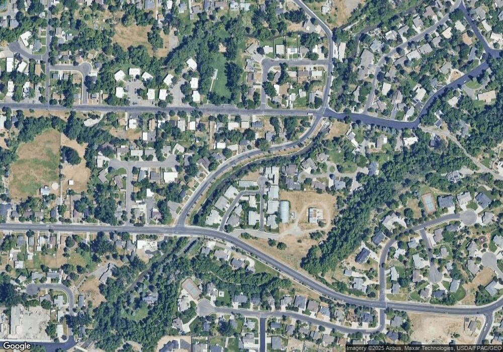
Map
Nearby Homes
- 70 River Pointe Dr
- 28 River Pointe Dr
- 1164 E Mountain Rd
- 45 River Circle Dr
- 74 Canterbury Cir
- 1034 Thrushwood Dr
- 684 Apple Dr
- 2758 N Canyon Cove Dr
- 2738 N Canyon Cove Dr
- 1045 Fox Farm Rd
- 622 Canyon Rd
- 1147 Eastridge Dr
- 545 E Boulevard St
- 128 S 1170 E
- 449 E 200 S
- 665 E 400 S
- 426 E 200 S
- 227 N 400 E
- 585 E 400 S
- 503 750 E Unit 31
- 58 N River Point Dr
- 64 River Pointe Dr
- 52 River Pointe Dr
- 40 River Pointe Dr
- 46 River Pointe Dr
- 33 River Pointe Dr
- 34 River Pointe Dr
- 76 River Pointe Dr
- 55 Riverside Dr
- 49 Riverside Dr
- 85 River Pointe Dr Unit 8B
- 85 River Pointe Dr Unit 16
- 85 River Pointe Dr
- 82 River Pointe Dr
- 63 Riverside Dr
- 21 N River Pointe Cricle
- 60 Conifer Place Unit 8
- 60 Conifer Place
- 22 River Pointe Dr
- 22 River Pointe Dr Unit 2A
Your Personal Tour Guide
Ask me questions while you tour the home.