58 Natrimac Point Rd Harpswell, ME 04079
Harpswell NeighborhoodEstimated Value: $954,000 - $1,917,480
3
Beds
3
Baths
2,398
Sq Ft
$588/Sq Ft
Est. Value
About This Home
This home is located at 58 Natrimac Point Rd, Harpswell, ME 04079 and is currently estimated at $1,408,870, approximately $587 per square foot. 58 Natrimac Point Rd is a home with nearby schools including Mt Ararat High School.
Ownership History
Date
Name
Owned For
Owner Type
Purchase Details
Closed on
Dec 30, 2024
Sold by
Pulsifer Ft and Dodson
Bought by
Dodson Elizabeth P and Pulsifer Jonathan T
Current Estimated Value
Purchase Details
Closed on
May 14, 2018
Sold by
Pulsifer Jonathan T and Pulsifer Lois P
Bought by
Pulsifer Ft and Pulsifer
Create a Home Valuation Report for This Property
The Home Valuation Report is an in-depth analysis detailing your home's value as well as a comparison with similar homes in the area
Home Values in the Area
Average Home Value in this Area
Purchase History
| Date | Buyer | Sale Price | Title Company |
|---|---|---|---|
| Dodson Elizabeth P | -- | None Available | |
| Dodson Elizabeth P | -- | None Available | |
| Pulsifer Ft | -- | -- | |
| Pulsifer Ft | -- | -- | |
| Pulsifer Ft | -- | -- |
Source: Public Records
Tax History Compared to Growth
Tax History
| Year | Tax Paid | Tax Assessment Tax Assessment Total Assessment is a certain percentage of the fair market value that is determined by local assessors to be the total taxable value of land and additions on the property. | Land | Improvement |
|---|---|---|---|---|
| 2024 | $8,686 | $1,365,700 | $842,000 | $523,700 |
| 2023 | $8,330 | $1,365,500 | $841,800 | $523,700 |
| 2022 | $8,055 | $1,365,300 | $841,600 | $523,700 |
| 2021 | $8,845 | $1,308,400 | $910,600 | $397,800 |
| 2020 | $8,821 | $1,308,700 | $910,900 | $397,800 |
| 2019 | $8,767 | $1,308,500 | $910,700 | $397,800 |
| 2018 | $8,481 | $1,308,800 | $911,000 | $397,800 |
| 2017 | $8,454 | $1,308,700 | $910,900 | $397,800 |
| 2016 | $8,376 | $1,308,700 | $910,900 | $397,800 |
| 2015 | $8,152 | $1,306,400 | $908,600 | $397,800 |
| 2013 | $7,560 | $1,307,900 | $910,100 | $397,800 |
Source: Public Records
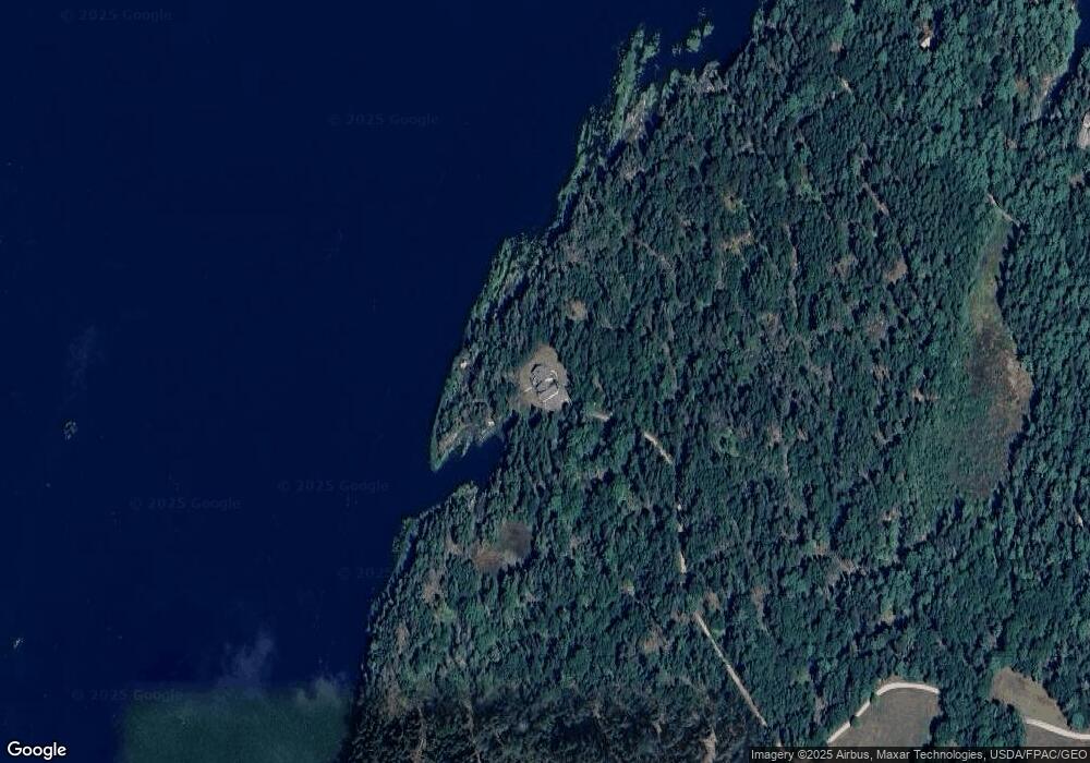
Map
Nearby Homes
- 136 Bethel Point Rd
- 11 Orion Point Way
- 37 & 38 S Dyers Cove Rd
- 943 Cundys Harbor Rd
- lot C Long Point Rd
- 242 Long Reach Ln
- 205 W Cundys Point
- 270 Harpswell Neck Rd
- 0 Bayview Rd Unit 2 1632776
- 21 Spring Hill Rd
- 93 Abbot Cove Rd
- Lot 2A Allen Point Rd
- Lot 2B Allen Point Rd
- 646 Gurnet Rd
- 29 & 30 Nob Hill Ave
- Lot 129 Harpswell Neck Rd
- 65 Shell Rd
- 41 Spruce Brook Dr
- 1689 Harpswell Islands Rd
- 1 Mallard Pond Rd
- 151 Sage Rd
- 134 Sage Rd
- 110 Sage Rd
- 110 Sage Rd
- 132 Sage Rd
- 89 Natrimac Point Rd
- 14 Rock Cove Ln
- 30 Sage Rd
- 0 Rock Cove Ln Unit 1511433
- 0 Rock Cove Ln Unit 1324608
- 11 Hog Tide Ln
- 32 Acadia Rd
- 28 Acadia Rd
- 32 Bernier Ln
- 158 Natrimac Point Rd
- 1 N Ledges Rd
- 11 Skywatch Ln
- 13 N Ledges Rd
- 15 N Ledges Rd
- 0 Bayberry Ln