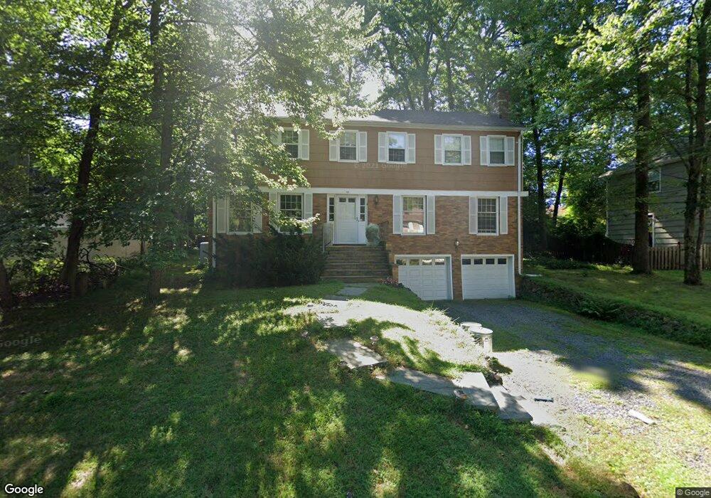
58 Normandy Dr Westfield, NJ 07090
Estimated Value: $1,134,057 - $1,555,000
--
Bed
--
Bath
2,610
Sq Ft
$512/Sq Ft
Est. Value
About This Home
This home is located at 58 Normandy Dr, Westfield, NJ 07090 and is currently estimated at $1,336,014, approximately $511 per square foot. 58 Normandy Dr is a home located in Union County with nearby schools including Tamaques Elementary School, Edison Intermediate School, and Westfield Senior High School.
Ownership History
Date
Name
Owned For
Owner Type
Purchase Details
Closed on
Aug 25, 1995
Sold by
Koros Robert M and Koros Carole M
Bought by
Koros Robert M and Shaffer Koros Carole M
Current Estimated Value
Create a Home Valuation Report for This Property
The Home Valuation Report is an in-depth analysis detailing your home's value as well as a comparison with similar homes in the area
Home Values in the Area
Average Home Value in this Area
Purchase History
| Date | Buyer | Sale Price | Title Company |
|---|---|---|---|
| Koros Robert M | -- | -- |
Source: Public Records
Tax History Compared to Growth
Tax History
| Year | Tax Paid | Tax Assessment Tax Assessment Total Assessment is a certain percentage of the fair market value that is determined by local assessors to be the total taxable value of land and additions on the property. | Land | Improvement |
|---|---|---|---|---|
| 2025 | $16,431 | $729,600 | $432,800 | $296,800 |
| 2024 | $16,095 | $729,600 | $432,800 | $296,800 |
| 2023 | $16,095 | $729,600 | $432,800 | $296,800 |
| 2022 | $15,759 | $729,600 | $432,800 | $296,800 |
| 2021 | $15,781 | $729,600 | $432,800 | $296,800 |
| 2020 | $15,745 | $729,600 | $432,800 | $296,800 |
| 2019 | $15,686 | $729,600 | $432,800 | $296,800 |
| 2018 | $21,123 | $227,200 | $82,600 | $144,600 |
| 2017 | $21,007 | $227,200 | $82,600 | $144,600 |
| 2016 | $20,514 | $227,200 | $82,600 | $144,600 |
| 2015 | $20,105 | $227,200 | $82,600 | $144,600 |
| 2014 | $19,442 | $227,200 | $82,600 | $144,600 |
Source: Public Records
Map
Nearby Homes
- 917 Pennsylvania Ave
- 834 Tice Place
- 11 Mohawk Trail
- 817 Summit Ave
- 1283 Rahway Ave
- 30 Stoneleigh Park
- 923 Central Ave
- 631 Kensington Dr
- 16 Manchester Dr
- 603 Carleton Rd
- 112 Windsor Ave
- 176 Harrow Rd
- 2 Byron Ct
- 614 Dorian Rd
- 26 Manchester Dr
- 1508 Boulevard
- 840 Dorian Rd
- 215 Ross Place Unit J
- 203 Ross Place
- 928 Columbus Ave
- 52 Normandy Dr
- 932 Rahway Ave
- 926 Rahway Ave
- 612 Willow Grove Rd
- 944 Rahway Ave
- 51 Normandy Dr
- 46 Normandy Dr
- 912 Rahway Ave
- 624 Willow Grove Rd
- 41 Normandy Dr
- 634 Willow Grove Rd
- 910 Rahway Ave
- 44 Normandy Dr
- 2 Max Place
- 1 Normandy Dr
- 640 Willow Grove Rd
- 1004 Rahway Ave
- 904 Rahway Ave
- 1 Max Place
- 5 Normandy Dr