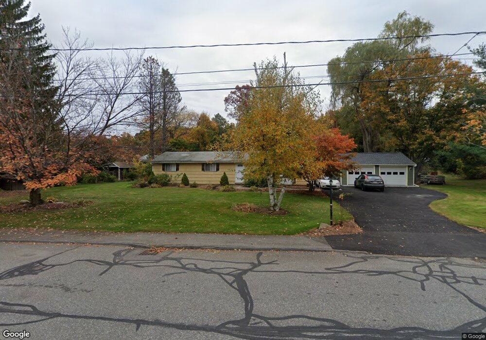
58 Raymond Rd Marlborough, MA 01752
Estimated Value: $537,429 - $592,000
3
Beds
2
Baths
1,232
Sq Ft
$460/Sq Ft
Est. Value
About This Home
This home is located at 58 Raymond Rd, Marlborough, MA 01752 and is currently estimated at $566,857, approximately $460 per square foot. 58 Raymond Rd is a home located in Middlesex County with nearby schools including Marlborough High School, New Covenant Christian School, and Glenhaven Academy - JRI School.
Ownership History
Date
Name
Owned For
Owner Type
Purchase Details
Closed on
Oct 10, 2012
Sold by
Smith David W and Foster-Smith Debra
Bought by
Smith David W
Current Estimated Value
Home Financials for this Owner
Home Financials are based on the most recent Mortgage that was taken out on this home.
Original Mortgage
$105,000
Outstanding Balance
$72,983
Interest Rate
3.59%
Mortgage Type
New Conventional
Estimated Equity
$493,874
Create a Home Valuation Report for This Property
The Home Valuation Report is an in-depth analysis detailing your home's value as well as a comparison with similar homes in the area
Home Values in the Area
Average Home Value in this Area
Purchase History
| Date | Buyer | Sale Price | Title Company |
|---|---|---|---|
| Smith David W | -- | -- |
Source: Public Records
Mortgage History
| Date | Status | Borrower | Loan Amount |
|---|---|---|---|
| Open | Smith David W | $105,000 |
Source: Public Records
Tax History Compared to Growth
Tax History
| Year | Tax Paid | Tax Assessment Tax Assessment Total Assessment is a certain percentage of the fair market value that is determined by local assessors to be the total taxable value of land and additions on the property. | Land | Improvement |
|---|---|---|---|---|
| 2025 | $4,163 | $422,200 | $227,800 | $194,400 |
| 2024 | $4,166 | $406,800 | $207,100 | $199,700 |
| 2023 | $4,536 | $393,100 | $177,600 | $215,500 |
| 2022 | $4,473 | $340,900 | $169,100 | $171,800 |
| 2021 | $12,840 | $320,300 | $141,000 | $179,300 |
| 2020 | $4,376 | $308,600 | $134,300 | $174,300 |
| 2019 | $4,287 | $304,700 | $131,600 | $173,100 |
| 2018 | $10,643 | $272,700 | $112,700 | $160,000 |
| 2017 | $3,678 | $240,100 | $110,200 | $129,900 |
| 2016 | $3,499 | $228,100 | $110,200 | $117,900 |
| 2015 | $3,433 | $217,800 | $112,600 | $105,200 |
Source: Public Records
Map
Nearby Homes
- 17 Mcneil Cir
- 168 Blanchette Dr
- 38 Collins Dr
- 618 Sudbury St
- 551 Sudbury St
- 492 Stow Rd
- 3 Stonehill Rd
- 274 Naugler Ave
- 114 Linda Cir
- 28 Stetson Dr
- 33A Russo Dr
- 256 Robert Rd
- 16 Minehan Ln
- 137 Naugler Ave
- 323 Robert Rd
- 688 Boston Post Rd E Unit 202
- 688 Boston Post Rd E Unit 304
- 688 Boston Post Rd E Unit 100
- 688 Boston Post Rd E Unit 324
- 688 Boston Post Rd E Unit 228