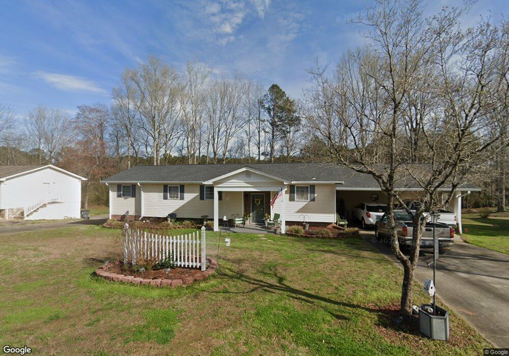
58 Renee Dr Tallapoosa, GA 30176
Estimated Value: $234,453 - $262,000
3
Beds
2
Baths
1,666
Sq Ft
$150/Sq Ft
Est. Value
About This Home
This home is located at 58 Renee Dr, Tallapoosa, GA 30176 and is currently estimated at $249,363, approximately $149 per square foot. 58 Renee Dr is a home located in Haralson County with nearby schools including Haralson County High School.
Ownership History
Date
Name
Owned For
Owner Type
Purchase Details
Closed on
Mar 16, 2007
Sold by
Driver Morgan and Driver Denise T
Bought by
Driver Morgan and Driver Denise T
Current Estimated Value
Purchase Details
Closed on
Aug 1, 1990
Sold by
Robinson Denise Thro
Bought by
Driver Morgan and Driver Denise T
Purchase Details
Closed on
Mar 10, 1988
Sold by
Walton Patricia and Walton Wi
Bought by
Robinson Denise Thro
Purchase Details
Closed on
Sep 1, 1974
Sold by
Ford William J
Bought by
Walton Patricia and Walton Wi
Create a Home Valuation Report for This Property
The Home Valuation Report is an in-depth analysis detailing your home's value as well as a comparison with similar homes in the area
Home Values in the Area
Average Home Value in this Area
Purchase History
| Date | Buyer | Sale Price | Title Company |
|---|---|---|---|
| Driver Morgan | -- | -- | |
| Driver Morgan | -- | -- | |
| Robinson Denise Thro | $34,500 | -- | |
| Walton Patricia | -- | -- |
Source: Public Records
Tax History Compared to Growth
Tax History
| Year | Tax Paid | Tax Assessment Tax Assessment Total Assessment is a certain percentage of the fair market value that is determined by local assessors to be the total taxable value of land and additions on the property. | Land | Improvement |
|---|---|---|---|---|
| 2024 | $2,028 | $72,164 | $4,834 | $67,330 |
| 2023 | $933 | $63,704 | $4,560 | $59,144 |
| 2022 | $1,129 | $53,390 | $4,560 | $48,830 |
| 2021 | $1,109 | $50,778 | $4,560 | $46,218 |
| 2020 | $1,213 | $52,222 | $4,560 | $47,662 |
| 2019 | $1,241 | $51,574 | $4,560 | $47,014 |
| 2018 | $1,119 | $46,731 | $4,560 | $42,171 |
| 2017 | $972 | $38,422 | $4,560 | $33,862 |
| 2016 | $824 | $35,729 | $4,560 | $31,169 |
| 2015 | $809 | $35,123 | $4,560 | $30,563 |
| 2014 | $941 | $38,626 | $7,600 | $31,026 |
Source: Public Records
Map
Nearby Homes
- 28 McDonald Ridge
- 110 Dunson Rd
- 135 Oakland Ct
- 77 McDonald Rd
- 194 Faye St
- 174 Faye St
- 711 Kay St
- 622 Cedartown Ave
- 0 Creek Dr Unit 148038
- 0 Cherokee Dr Unit 148037
- 871 Cherokee Dr
- 0 Providence Lake Rd Unit 10576961
- 1304 Broad St
- 438 Bowdon St
- --- Steadman #32 Rd
- 215 Steadman Rd
- 0 Steadman Rd Unit 10608314
- 10 + - Acres On J Davis Rd
- 244 Monroe St
- 3112 Providence Church Rd