58 Riley Rd Lunenburg, MA 01462
Estimated Value: $530,902 - $588,000
2
Beds
3
Baths
1,654
Sq Ft
$336/Sq Ft
Est. Value
About This Home
This home is located at 58 Riley Rd, Lunenburg, MA 01462 and is currently estimated at $556,476, approximately $336 per square foot. 58 Riley Rd is a home located in Worcester County with nearby schools including Lunenburg Primary School, Lunenburg High School, and St Bernards Elementary School.
Ownership History
Date
Name
Owned For
Owner Type
Purchase Details
Closed on
Dec 29, 2020
Sold by
Dellasanta Louis R and Dellasanta Mary K
Bought by
Mary K Dellasanta Ret
Current Estimated Value
Purchase Details
Closed on
May 28, 2008
Sold by
Jcj Inc
Bought by
Dellasanta Louis R and Dellasanta Mary K
Home Financials for this Owner
Home Financials are based on the most recent Mortgage that was taken out on this home.
Original Mortgage
$276,000
Interest Rate
5.91%
Mortgage Type
Purchase Money Mortgage
Create a Home Valuation Report for This Property
The Home Valuation Report is an in-depth analysis detailing your home's value as well as a comparison with similar homes in the area
Home Values in the Area
Average Home Value in this Area
Purchase History
| Date | Buyer | Sale Price | Title Company |
|---|---|---|---|
| Mary K Dellasanta Ret | -- | None Available | |
| Dellasanta Louis R | $345,000 | -- |
Source: Public Records
Mortgage History
| Date | Status | Borrower | Loan Amount |
|---|---|---|---|
| Previous Owner | Dellasanta Louis R | $276,000 |
Source: Public Records
Tax History Compared to Growth
Tax History
| Year | Tax Paid | Tax Assessment Tax Assessment Total Assessment is a certain percentage of the fair market value that is determined by local assessors to be the total taxable value of land and additions on the property. | Land | Improvement |
|---|---|---|---|---|
| 2025 | $6,657 | $463,600 | $0 | $463,600 |
| 2024 | $6,266 | $444,400 | $0 | $444,400 |
| 2023 | $5,164 | $353,200 | $0 | $353,200 |
| 2022 | $5,544 | $322,500 | $0 | $322,500 |
| 2020 | $5,661 | $312,400 | $0 | $312,400 |
| 2019 | $5,647 | $302,300 | $0 | $302,300 |
| 2018 | $5,418 | $275,000 | $0 | $275,000 |
| 2017 | $5,566 | $278,600 | $0 | $278,600 |
| 2016 | $5,357 | $273,200 | $0 | $273,200 |
| 2015 | $4,818 | $263,000 | $0 | $263,000 |
Source: Public Records
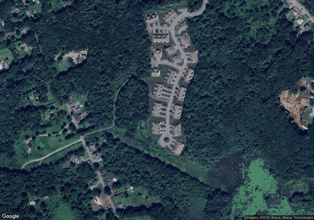
Map
Nearby Homes
- 6 Riley Rd Unit 6
- 2 Riley Rd Unit B
- 830 Massachusetts Ave
- 711 Massachusetts Ave Unit 2
- 64 Chestnut St
- 319 Highland St
- 63 Holman St
- 35 Leominster Rd
- 77 Electric Ave
- 200-365 Hollis Rd
- 759 Northfield Rd
- 756 Northfield Rd
- 452 Hollis Rd
- 23-25 Kimball St
- 7 Hickory Ln
- 23 Tilton Ave
- 1083 Northfield Rd
- 1479 Main St
- 91 Valley Rd
- 665 Townsend St
- 14 Riley Rd Unit 14
- 64 Riley Rd Unit 32
- 29 Riley Rd Unit 56
- 65 Riley Rd Unit 38
- 61 Riley Rd Unit 40
- 36 Riley Rd Unit 18
- 63 Riley Rd Unit 39
- 50 Riley Rd Unit 50
- 46 Riley Rd Unit 21
- 44 Riley Rd Unit 20
- 48 Riley Rd Unit 22
- 34 Riley Rd Unit 17
- 66 Riley Rd
- 64 Riley Rd
- 62 Riley Rd
- 60 Riley Rd
- 56 Riley Rd
- 54 Riley Rd
- 52 Riley Rd
- 50 Riley Rd