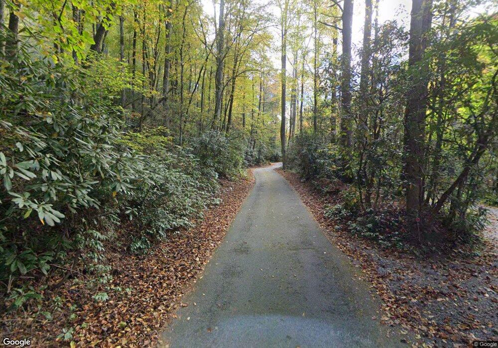
58 Robin Rd Brevard, NC 28712
Estimated Value: $623,000 - $856,000
4
Beds
3
Baths
2,753
Sq Ft
$269/Sq Ft
Est. Value
About This Home
This home is located at 58 Robin Rd, Brevard, NC 28712 and is currently estimated at $739,701, approximately $268 per square foot. 58 Robin Rd is a home located in Transylvania County with nearby schools including Mountain Sun Community School.
Ownership History
Date
Name
Owned For
Owner Type
Purchase Details
Closed on
Sep 15, 2005
Sold by
Bell John J and Bell Edna T
Bought by
Bell John J and Bell Jane A
Current Estimated Value
Home Financials for this Owner
Home Financials are based on the most recent Mortgage that was taken out on this home.
Original Mortgage
$252,000
Outstanding Balance
$134,142
Interest Rate
5.77%
Mortgage Type
New Conventional
Estimated Equity
$605,559
Purchase Details
Closed on
Jun 1, 1989
Bought by
Bell John J and Bell Jane A
Create a Home Valuation Report for This Property
The Home Valuation Report is an in-depth analysis detailing your home's value as well as a comparison with similar homes in the area
Home Values in the Area
Average Home Value in this Area
Purchase History
| Date | Buyer | Sale Price | Title Company |
|---|---|---|---|
| Bell John J | $319,000 | None Available | |
| Bell John J | $205,000 | -- |
Source: Public Records
Mortgage History
| Date | Status | Borrower | Loan Amount |
|---|---|---|---|
| Open | Bell John J | $252,000 |
Source: Public Records
Tax History
| Year | Tax Paid | Tax Assessment Tax Assessment Total Assessment is a certain percentage of the fair market value that is determined by local assessors to be the total taxable value of land and additions on the property. | Land | Improvement |
|---|---|---|---|---|
| 2025 | $3,472 | $714,890 | $60,000 | $654,890 |
| 2024 | $2,753 | $409,560 | $50,000 | $359,560 |
| 2023 | $2,700 | $409,560 | $50,000 | $359,560 |
| 2022 | $2,700 | $409,560 | $50,000 | $359,560 |
| 2021 | $2,680 | $409,560 | $50,000 | $359,560 |
| 2020 | $2,220 | $318,250 | $0 | $0 |
| 2019 | $2,204 | $318,250 | $0 | $0 |
| 2018 | $1,806 | $318,250 | $0 | $0 |
| 2017 | $1,806 | $318,250 | $0 | $0 |
| 2016 | $1,756 | $318,250 | $0 | $0 |
| 2015 | $1,371 | $323,970 | $50,000 | $273,970 |
| 2014 | $1,371 | $323,970 | $50,000 | $273,970 |
Source: Public Records
Map
Nearby Homes
- 431 Pole Miller Extension
- 421 Chickadee Ln
- 165 Orchard Ln
- 50 Illahee Point
- TBD High Point Trail Unit 21
- TBD High Point Trail Unit 24
- 999 High Point Trail
- 33 High Point Trail
- 9999 Rockbrook Overlook
- Lot 12 Rockbrook Overlook
- Lot 25 (A and B) Rockbrook Overlook
- 115 Rockbrook Overlook
- 236 Pole Miller Extension
- 102 Pole Miller Extension
- 21 Byrd Ln
- TBD High Hemlock Trail Unit 46
- Lot 52 High Hemlock Trail Unit 52
- Lot 59 High Hemlock Trail
- 00000 Mountain Brook Trail Unit 37
- Lot 57 Stone Field Trail
- 108 Robin Rd
- 130 Robin Rd
- 81 Kingfisher Rd
- 83 Robin Rd
- 127 Robin Rd
- 110 Kingfisher Rd
- 030 Cardinal Dr Unit D-30
- 520 Cardinal Dr
- 350 Long Ridge Rd
- 167 Kingfisher Rd
- 167 Kingfisher Rd Unit 312
- 547 Cardinal Dr
- 107 Kingfisher Rd
- 307 Cardinal Dr
- TBD Long Ridge Rd
- 335 Long Ridge Rd
- 701 Cardinal Dr
- 204 Long Ridge Rd
- 178 Kingfisher Rd
- 709 Cardinal Dr
