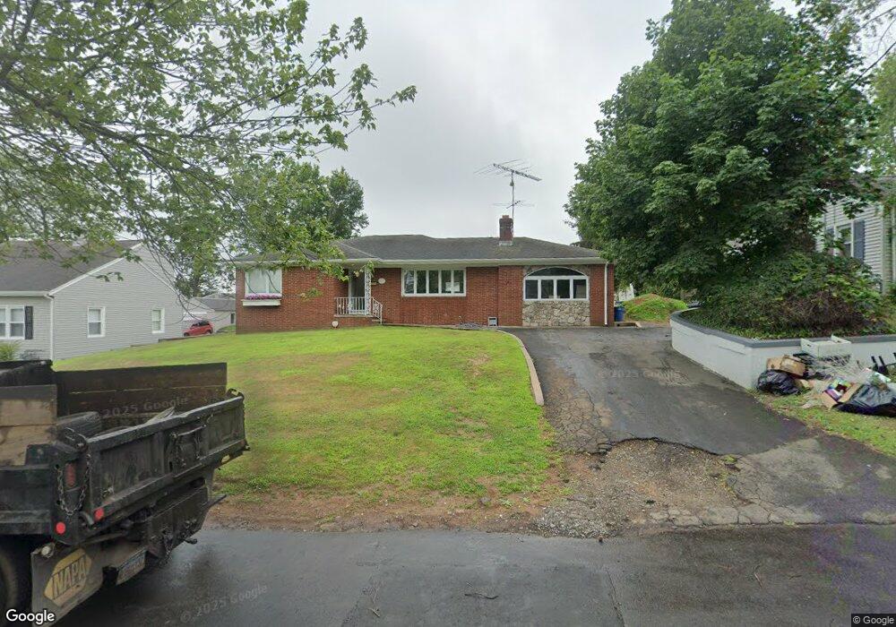
58 Saint Andrew Ave East Haven, CT 06512
Estimated Value: $348,000 - $427,000
2
Beds
2
Baths
1,580
Sq Ft
$245/Sq Ft
Est. Value
About This Home
This home is located at 58 Saint Andrew Ave, East Haven, CT 06512 and is currently estimated at $386,525, approximately $244 per square foot. 58 Saint Andrew Ave is a home located in New Haven County with nearby schools including East Haven High School, Cold Spring School, and Pathway School.
Ownership History
Date
Name
Owned For
Owner Type
Purchase Details
Closed on
Oct 16, 1998
Sold by
Pouliot Robert and Pouliot Christine
Bought by
Natalino Michael J and Natalino Dina M
Current Estimated Value
Home Financials for this Owner
Home Financials are based on the most recent Mortgage that was taken out on this home.
Original Mortgage
$84,000
Interest Rate
6.8%
Create a Home Valuation Report for This Property
The Home Valuation Report is an in-depth analysis detailing your home's value as well as a comparison with similar homes in the area
Home Values in the Area
Average Home Value in this Area
Purchase History
| Date | Buyer | Sale Price | Title Company |
|---|---|---|---|
| Natalino Michael J | $105,000 | -- |
Source: Public Records
Mortgage History
| Date | Status | Borrower | Loan Amount |
|---|---|---|---|
| Open | Natalino Michael J | $32,800 | |
| Open | Natalino Michael J | $144,500 | |
| Closed | Natalino Michael J | $84,000 |
Source: Public Records
Tax History Compared to Growth
Tax History
| Year | Tax Paid | Tax Assessment Tax Assessment Total Assessment is a certain percentage of the fair market value that is determined by local assessors to be the total taxable value of land and additions on the property. | Land | Improvement |
|---|---|---|---|---|
| 2025 | $5,889 | $176,120 | $46,130 | $129,990 |
| 2024 | $5,889 | $176,120 | $46,130 | $129,990 |
| 2023 | $5,495 | $176,120 | $46,130 | $129,990 |
| 2022 | $5,495 | $176,120 | $46,130 | $129,990 |
| 2021 | $5,012 | $146,330 | $39,050 | $107,280 |
| 2020 | $5,012 | $146,330 | $39,050 | $107,280 |
| 2019 | $4,744 | $146,330 | $39,050 | $107,280 |
| 2018 | $4,748 | $146,330 | $39,050 | $107,280 |
| 2017 | $4,617 | $146,330 | $39,050 | $107,280 |
| 2016 | $4,846 | $153,600 | $46,130 | $107,470 |
| 2015 | $4,846 | $153,600 | $46,130 | $107,470 |
| 2014 | $4,923 | $153,600 | $46,130 | $107,470 |
Source: Public Records
Map
Nearby Homes
- 133 Charter Oak Ave
- 34 Hughes St
- 18 Lenox St
- 14 Gerrish Ave
- 66 Elizabeth Ann Dr
- 31 Forest St
- 62 Huntington Rd Unit 7
- 112 Harrington Ave
- 120 Harrington Ave
- 4 Laura Ln
- 45 Huntington Ave
- 32 Huntington Ave
- 364 Main St Unit 47
- 44 Huntington Ave
- 17 Guilford Ct
- 47 Guilford Ct
- 50 Robert Dr
- 93 Kimberly Ave
- 366 Burr St
- 745 Townsend Ave Unit Lot 1
- 52 Saint Andrew Ave
- 64 Saint Andrew Ave
- 48 Saint Andrew Ave
- 68 St Andrews Ave
- 68 Saint Andrew Ave
- 61 Gordon St
- 69 Saint Andrew Ave
- 69 Saint Andrew Ave
- 65 Gordon St
- 53 Gordon St
- 49 Gordon St
- 44 Saint Andrew Ave
- 4 Saint Andrew Ave
- 105 Charter Oak Ave
- 72 Saint Andrew Ave
- 12 Church St
- 109 Charter Oak Ave
- 65 Saint Andrew Ave
- 45 Gordon St
- 101 Charter Oak Ave