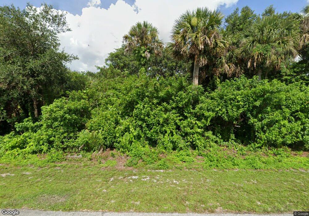
58 Seagrape St Port Charlotte, FL 33954
Estimated Value: $23,295 - $384,000
--
Bed
--
Bath
--
Sq Ft
10,019
Sq Ft Lot
About This Home
This home is located at 58 Seagrape St, Port Charlotte, FL 33954 and is currently estimated at $116,574. 58 Seagrape St is a home located in Charlotte County with nearby schools including Liberty Elementary School, Murdock Middle School, and Port Charlotte High School.
Ownership History
Date
Name
Owned For
Owner Type
Purchase Details
Closed on
Jun 20, 2024
Sold by
American Prime Llc
Bought by
Recalde Florencia Stefani
Current Estimated Value
Purchase Details
Closed on
Nov 8, 2023
Sold by
Shackelford James and Shackelford Janice
Bought by
American Prime Lending Inc
Purchase Details
Closed on
Mar 30, 2004
Sold by
Farrell Rickey L and International Port St Lucie Tr
Bought by
Jones Jodi A
Purchase Details
Closed on
Sep 29, 1995
Sold by
Robert & Robert Prop Inc
Bought by
Farrell Rickey L
Purchase Details
Closed on
Nov 30, 1994
Sold by
Clerk Circuit Court
Bought by
Robert & Robert Prop Inc
Create a Home Valuation Report for This Property
The Home Valuation Report is an in-depth analysis detailing your home's value as well as a comparison with similar homes in the area
Home Values in the Area
Average Home Value in this Area
Purchase History
| Date | Buyer | Sale Price | Title Company |
|---|---|---|---|
| Recalde Florencia Stefani | $25,000 | None Listed On Document | |
| American Prime Lending Inc | $10,000 | None Listed On Document | |
| Jones Jodi A | $40,000 | -- | |
| Farrell Rickey L | $3,500 | -- | |
| Robert & Robert Prop Inc | $500 | -- |
Source: Public Records
Tax History Compared to Growth
Tax History
| Year | Tax Paid | Tax Assessment Tax Assessment Total Assessment is a certain percentage of the fair market value that is determined by local assessors to be the total taxable value of land and additions on the property. | Land | Improvement |
|---|---|---|---|---|
| 2023 | $432 | $13,600 | $13,600 | $0 |
| 2022 | $400 | $11,050 | $11,050 | $0 |
| 2021 | $353 | $4,080 | $4,080 | $0 |
| 2020 | $341 | $3,910 | $3,910 | $0 |
| 2019 | $337 | $3,910 | $3,910 | $0 |
| 2018 | $325 | $3,400 | $3,400 | $0 |
| 2017 | $320 | $3,400 | $3,400 | $0 |
| 2016 | $312 | $2,788 | $0 | $0 |
| 2015 | $312 | $2,788 | $0 | $0 |
| 2014 | $304 | $2,768 | $0 | $0 |
Source: Public Records
Map
Nearby Homes
- 106 Seagrape St
- 147 Seagrape St
- 100 Denver Dr
- 236 Denver Dr
- 188 Denver Dr
- 100 Flanders St
- 108 Denver Dr
- 147 Flanders St
- 127 Sterling St
- 150 Sterling St
- 187 Seagrape St
- 191 Denver Dr
- 51 Denver Dr
- 20033 & 20041 Buchanan Ave
- 19401 Villanova Ave
- 20053 Armstrong Ave
- 19474 Strathcona Ave
- 177 Theresa Blvd
- 19386 Villanova Ave
- 256 Pelton Cir
- 170 Seagrape St
- 138 Seagrape St
- 131 Seagrape St
- 115 Seagrape St
- 132 Flanders St
- 123 Denver Dr
- 146 Seagrape St Unit 3
- 146 Seagrape St
- 140 Flanders St
- 99 Seagrape St
- 108 Flanders St
- 100 Denver Dr Unit 40
- 44 Denver Dr
- 36 Denver Dr
- 278 Denver Dr
- 84 Denver Dr
- 319 Denver Dr
- 398 Denver Dr
- 59 Denver Dr
- 374 Denver Dr
