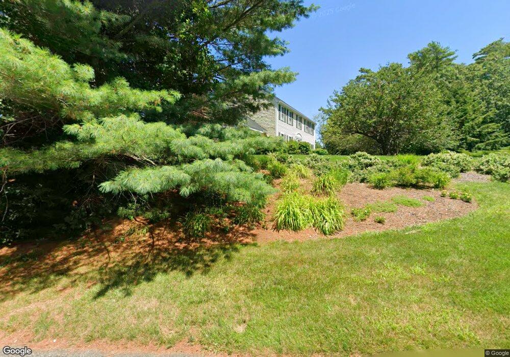
58 Simmons Dr Duxbury, MA 02332
Estimated Value: $1,151,845 - $1,439,000
4
Beds
3
Baths
2,400
Sq Ft
$544/Sq Ft
Est. Value
About This Home
This home is located at 58 Simmons Dr, Duxbury, MA 02332 and is currently estimated at $1,304,461, approximately $543 per square foot. 58 Simmons Dr is a home located in Plymouth County with nearby schools including Chandler Elementary School, Alden School, and Duxbury Middle School.
Ownership History
Date
Name
Owned For
Owner Type
Purchase Details
Closed on
Aug 1, 1997
Sold by
Keene Parker R and Keene Karen M
Bought by
Mcdermott Edward and Mcdermott Carol E
Current Estimated Value
Purchase Details
Closed on
May 31, 1996
Sold by
Smith Kathleen M
Bought by
Keene R Parker and Keene Karen M
Purchase Details
Closed on
Jul 24, 1987
Sold by
Leary L P Roland P
Bought by
Smith Kevin M
Create a Home Valuation Report for This Property
The Home Valuation Report is an in-depth analysis detailing your home's value as well as a comparison with similar homes in the area
Home Values in the Area
Average Home Value in this Area
Purchase History
| Date | Buyer | Sale Price | Title Company |
|---|---|---|---|
| Mcdermott Edward | $339,000 | -- | |
| Keene R Parker | $325,000 | -- | |
| Smith Kevin M | $279,000 | -- |
Source: Public Records
Mortgage History
| Date | Status | Borrower | Loan Amount |
|---|---|---|---|
| Open | Smith Kevin M | $300,000 | |
| Closed | Smith Kevin M | $125,000 |
Source: Public Records
Tax History Compared to Growth
Tax History
| Year | Tax Paid | Tax Assessment Tax Assessment Total Assessment is a certain percentage of the fair market value that is determined by local assessors to be the total taxable value of land and additions on the property. | Land | Improvement |
|---|---|---|---|---|
| 2025 | $10,111 | $997,100 | $442,600 | $554,500 |
| 2024 | $9,708 | $965,000 | $423,000 | $542,000 |
| 2023 | $9,244 | $864,700 | $453,500 | $411,200 |
| 2022 | $8,577 | $668,000 | $292,100 | $375,900 |
| 2021 | $8,844 | $610,800 | $272,700 | $338,100 |
| 2020 | $8,903 | $607,300 | $261,200 | $346,100 |
| 2019 | $8,764 | $597,000 | $242,700 | $354,300 |
| 2018 | $8,679 | $572,500 | $233,000 | $339,500 |
| 2017 | $8,724 | $562,500 | $233,000 | $329,500 |
| 2016 | $8,593 | $552,600 | $223,100 | $329,500 |
| 2015 | $8,135 | $521,500 | $192,000 | $329,500 |
Source: Public Records
Map
Nearby Homes
- 9 S Pasture Ln
- 33 Herring Weir Rd
- 62 Teakettle Ln
- 1141 Tremont St
- Two Railroad Ave Unit 9
- Two Railroad Ave Unit 1
- Two Railroad Ave Unit 8
- Two Railroad Ave Unit 2
- 10 Hawthorn Hill
- 184 King Phillips Pathe
- 74 Abrams Hill Rd
- 68 Abrams Hill Rd
- 431 Moraine St
- 225 Lincoln St Unit A3
- 15 Lady Slipper Ln
- 387 Lot 2A Old Cove Rd
- 387 Lot 3A Old Cove Rd
- 387 Lot 4A Old Cove Rd
- 15 Fieldstone Farm Way Unit 8
- 16 Fieldstone Farm Way