58 Smithfield Ct Unit 10 Basking Ridge, NJ 07920
Estimated Value: $421,978 - $450,000
--
Bed
--
Bath
1,050
Sq Ft
$416/Sq Ft
Est. Value
About This Home
This home is located at 58 Smithfield Ct Unit 10, Basking Ridge, NJ 07920 and is currently estimated at $436,495, approximately $415 per square foot. 58 Smithfield Ct Unit 10 is a home located in Somerset County with nearby schools including Cedar Hill Elementary School, William Annin Middle School, and Ridge High School.
Ownership History
Date
Name
Owned For
Owner Type
Purchase Details
Closed on
Jun 15, 2007
Sold by
Ghazi John
Bought by
Shaw Lillian
Current Estimated Value
Purchase Details
Closed on
Jul 31, 1995
Sold by
Bohlman Michael
Bought by
Ferriera Chris and Arikian Michelle
Home Financials for this Owner
Home Financials are based on the most recent Mortgage that was taken out on this home.
Original Mortgage
$129,000
Interest Rate
7.61%
Create a Home Valuation Report for This Property
The Home Valuation Report is an in-depth analysis detailing your home's value as well as a comparison with similar homes in the area
Home Values in the Area
Average Home Value in this Area
Purchase History
| Date | Buyer | Sale Price | Title Company |
|---|---|---|---|
| Shaw Lillian | $295,500 | Fidelity Natl Title Ins Co | |
| Ferriera Chris | $143,500 | -- |
Source: Public Records
Mortgage History
| Date | Status | Borrower | Loan Amount |
|---|---|---|---|
| Previous Owner | Ferriera Chris | $129,000 |
Source: Public Records
Tax History Compared to Growth
Tax History
| Year | Tax Paid | Tax Assessment Tax Assessment Total Assessment is a certain percentage of the fair market value that is determined by local assessors to be the total taxable value of land and additions on the property. | Land | Improvement |
|---|---|---|---|---|
| 2025 | $6,321 | $404,800 | $140,000 | $264,800 |
| 2024 | $6,321 | $355,300 | $124,000 | $231,300 |
| 2023 | $5,990 | $317,600 | $124,000 | $193,600 |
| 2022 | $5,693 | $283,100 | $120,000 | $163,100 |
| 2021 | $5,292 | $274,800 | $120,000 | $154,800 |
| 2020 | $5,532 | $264,200 | $115,000 | $149,200 |
| 2019 | $5,553 | $273,000 | $125,000 | $148,000 |
| 2018 | $5,434 | $271,000 | $123,000 | $148,000 |
| 2017 | $5,476 | $275,300 | $123,000 | $152,300 |
| 2016 | $5,297 | $271,500 | $123,000 | $148,500 |
| 2015 | $5,175 | $270,100 | $120,000 | $150,100 |
| 2014 | $4,996 | $258,300 | $120,000 | $138,300 |
Source: Public Records
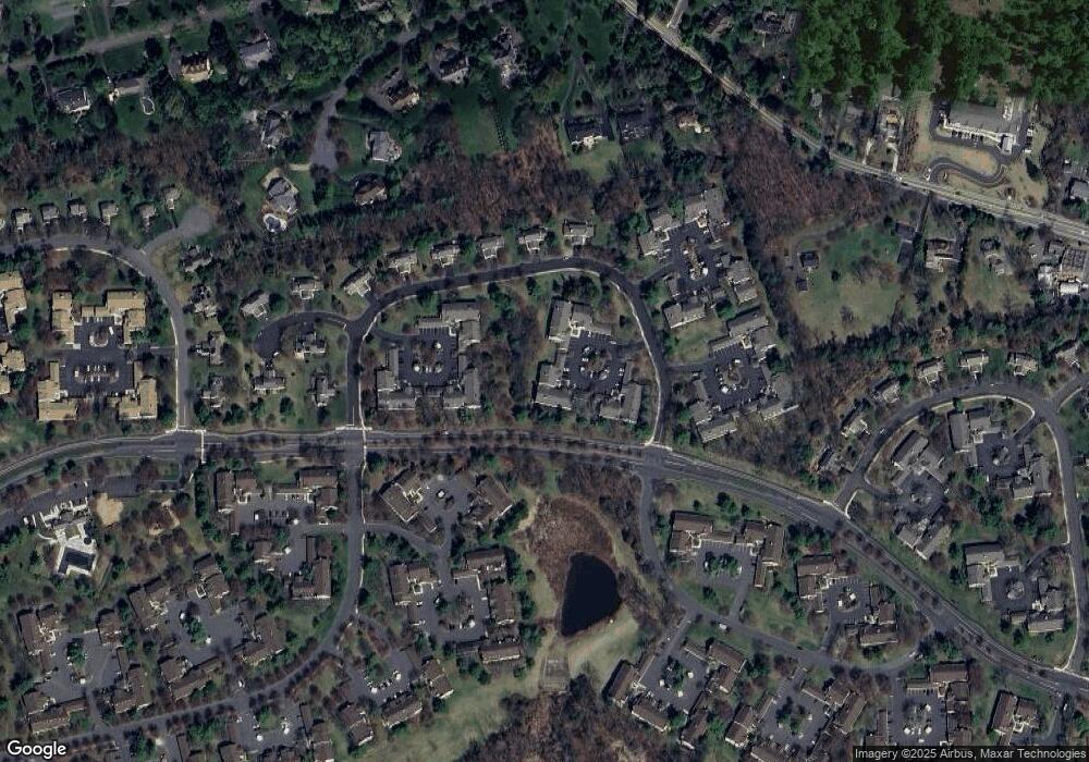
Map
Nearby Homes
- 41 Smithfield Ct Unit 5
- 185 Jamestown Rd
- 95 Jamestown Rd Ondo
- 48 Commonwealth Dr Ondo
- 21 Alexandria Way
- 138 Potomac Dr Condo
- 168 Potomac Dr Condo Unit 168
- 192 Potomac Dr Condo Unit 192
- 71 Alexandria Way Unit 3
- 176 Potomac Dr
- 49 Alexandria Way Unit 5
- 103 Potomac Dr
- 1 Potomac Dr Condo
- 138 Alexandria Way Condo Unit 138
- 488 King George Rd
- 242 Alexandria Way
- 23 Hampton Ct
- 2305 Privet Way
- 7 Chestnut Ct
- 227 Arrowood Way
- 57 Smithfield Ct
- 60 Smithfield Ct
- 55 Smithfield Ct
- 59 Smithfield Ct
- 53 Smithfield Ct
- 56 Smithfield Ct
- 54 Smithfield Ct
- 52 Smithfield Ct Unit 4
- 51 Smithfield Ct
- 49 Smithfield Ct Unit 1
- 50 Smithfield Ct
- 38 Smithfield Ct
- 37 Smithfield Ct
- 43 Smith Field Ct Ondo
- 40 Smithfield Ct
- 39 Smithfield Ct
- 42 Smithfield Ct
- 72 Smithfield Ct
- 71 Smithfield Ct
- 126 Smithfield Ct