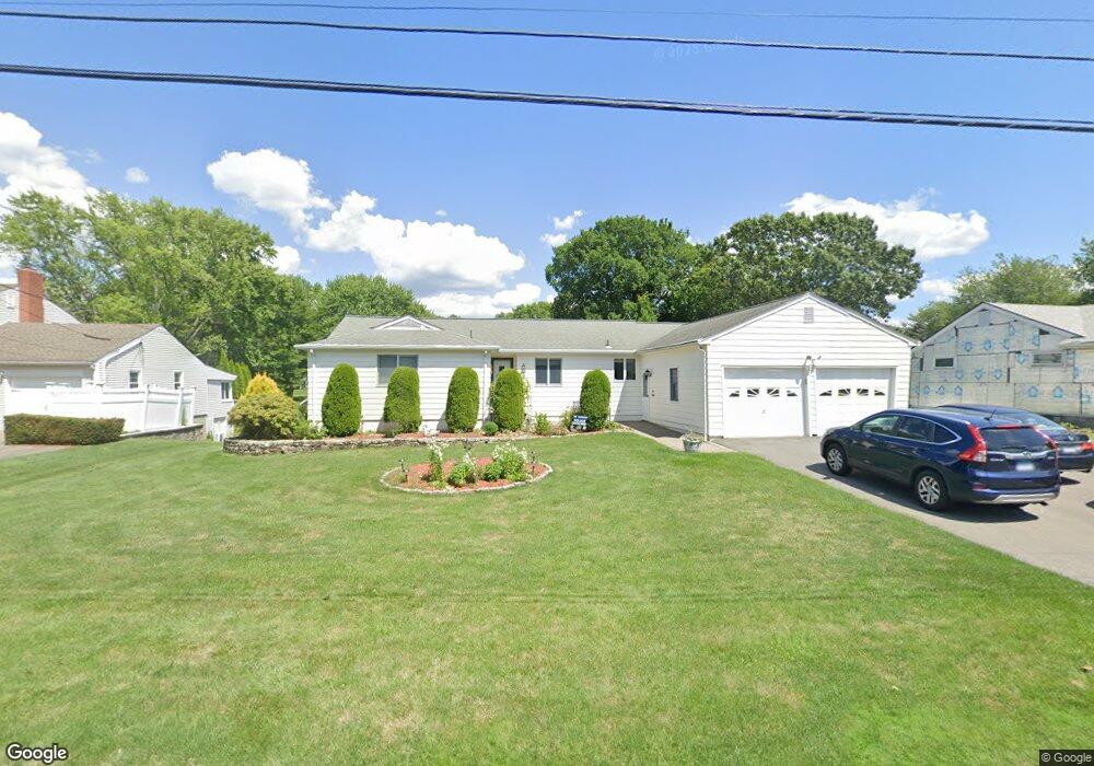
58 Springdale Rd Wethersfield, CT 06109
Estimated Value: $445,000 - $483,000
3
Beds
3
Baths
1,776
Sq Ft
$264/Sq Ft
Est. Value
About This Home
This home is located at 58 Springdale Rd, Wethersfield, CT 06109 and is currently estimated at $468,754, approximately $263 per square foot. 58 Springdale Rd is a home located in Hartford County with nearby schools including Highcrest School, Woodcrest Elementary School, and Silas Deane Middle School.
Ownership History
Date
Name
Owned For
Owner Type
Purchase Details
Closed on
Jun 24, 2022
Sold by
Weller Lawrence W and Weller Kaitlin I
Bought by
Penn Kyle E and Torf Kelly M
Current Estimated Value
Home Financials for this Owner
Home Financials are based on the most recent Mortgage that was taken out on this home.
Original Mortgage
$264,000
Outstanding Balance
$250,906
Interest Rate
5.3%
Mortgage Type
Purchase Money Mortgage
Estimated Equity
$217,848
Create a Home Valuation Report for This Property
The Home Valuation Report is an in-depth analysis detailing your home's value as well as a comparison with similar homes in the area
Home Values in the Area
Average Home Value in this Area
Purchase History
| Date | Buyer | Sale Price | Title Company |
|---|---|---|---|
| Penn Kyle E | $330,000 | None Available | |
| Penn Kyle E | $330,000 | None Available |
Source: Public Records
Mortgage History
| Date | Status | Borrower | Loan Amount |
|---|---|---|---|
| Open | Penn Kyle E | $264,000 | |
| Closed | Penn Kyle E | $264,000 |
Source: Public Records
Tax History Compared to Growth
Tax History
| Year | Tax Paid | Tax Assessment Tax Assessment Total Assessment is a certain percentage of the fair market value that is determined by local assessors to be the total taxable value of land and additions on the property. | Land | Improvement |
|---|---|---|---|---|
| 2025 | $11,997 | $291,040 | $109,620 | $181,420 |
| 2024 | $8,223 | $190,260 | $84,250 | $106,010 |
| 2023 | $7,949 | $190,260 | $84,250 | $106,010 |
| 2022 | $7,816 | $190,260 | $84,250 | $106,010 |
| 2021 | $7,738 | $190,260 | $84,250 | $106,010 |
| 2020 | $7,742 | $190,260 | $84,250 | $106,010 |
| 2019 | $7,751 | $190,260 | $84,250 | $106,010 |
| 2018 | $7,642 | $187,400 | $84,400 | $103,000 |
| 2017 | $7,453 | $187,400 | $84,400 | $103,000 |
| 2016 | $7,222 | $187,400 | $84,400 | $103,000 |
| 2015 | $7,157 | $187,400 | $84,400 | $103,000 |
| 2014 | $6,885 | $187,400 | $84,400 | $103,000 |
Source: Public Records
Map
Nearby Homes
- 211 Fairlane Dr
- 45 Sandy Dr
- 148 Raymond Rd
- 268 Fox Hill Rd
- 37 Two Stone Dr
- 325 Fox Hill Rd
- 1279 Maple St
- 0 Old Post Rd
- 27 Little Oak Ln Unit 27
- 36 Copper Beech Dr
- 50 Little Oak Ln Unit 50
- 46 Little Oak Ln Unit 46
- 231 Charter Rd
- 88 Highland St
- 19 Jacob Dr
- 155 Old Common Rd
- 42 Rose Ct
- 1610 Silas Deane Hwy
- 5 Robeth Ln
- 59 Chapin Ave
- 64 Springdale Rd
- 52 Springdale Rd
- 145 Cloverdale Cir
- 137 Cloverdale Cir
- 70 Springdale Rd
- 157 Cloverdale Cir
- 129 Cloverdale Cir
- 34 Springdale Rd
- 53 Springdale Rd
- 61 Springdale Rd
- 76 Springdale Rd
- 45 Springdale Rd
- 69 Springdale Rd
- 123 Cloverdale Cir
- 111 Cloverdale Cir
- 37 Springdale Rd
- 77 Springdale Rd
- 84 Springdale Rd
- 46 Sunset Blvd