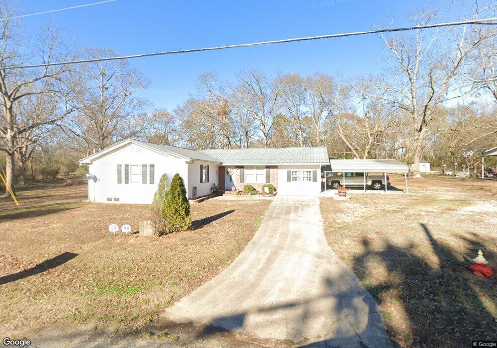
58 Star St E Bethlehem, GA 30620
Estimated Value: $268,063 - $415,000
3
Beds
2
Baths
1,904
Sq Ft
$175/Sq Ft
Est. Value
About This Home
This home is located at 58 Star St E, Bethlehem, GA 30620 and is currently estimated at $333,266, approximately $175 per square foot. 58 Star St E is a home located in Barrow County with nearby schools including Bethlehem Elementary School, Haymon-Morris Middle School, and Apalachee High School.
Create a Home Valuation Report for This Property
The Home Valuation Report is an in-depth analysis detailing your home's value as well as a comparison with similar homes in the area
Home Values in the Area
Average Home Value in this Area
Tax History
| Year | Tax Paid | Tax Assessment Tax Assessment Total Assessment is a certain percentage of the fair market value that is determined by local assessors to be the total taxable value of land and additions on the property. | Land | Improvement |
|---|---|---|---|---|
| 2025 | $365 | $64,328 | $18,000 | $46,328 |
| 2024 | $294 | $63,158 | $18,000 | $45,158 |
| 2023 | $195 | $63,158 | $18,000 | $45,158 |
| 2022 | $233 | $44,773 | $12,000 | $32,773 |
| 2021 | $250 | $44,773 | $12,000 | $32,773 |
| 2020 | $235 | $44,773 | $12,000 | $32,773 |
| 2019 | $232 | $41,950 | $12,000 | $29,950 |
| 2018 | $215 | $41,950 | $12,000 | $29,950 |
| 2017 | $1,116 | $38,320 | $12,000 | $26,320 |
| 2016 | $177 | $38,320 | $12,000 | $26,320 |
| 2015 | $516 | $38,320 | $12,000 | $26,320 |
| 2014 | $314 | $31,612 | $5,292 | $26,320 |
| 2013 | -- | $29,890 | $5,292 | $24,598 |
Source: Public Records
Map
Nearby Homes
- 784 Manger Ave
- 0 Manger Ave E Unit 20154677
- 0 Manger Ave E Unit 20127001
- 13 Rowlett Place
- 14 Rowlett Place
- 812 Christmas Ave
- 724 Manger Ave
- 449 & 455 Carl-Bethlehem Rd
- 898 Harrison Mill Rd
- 916 Elijah Way
- 825 Arch Tanner Rd
- 3784 Aiyana Way
- 22 Mallard Creek Way
- 103 McElhannon Rd SE
- 0 Monroe Hwy Unit 7530054
- 0 Monroe Hwy Unit 10466108
- 123 Regency Dr
- 541 Harris Dr
- 439 Vinings Ct
- 522 Harris Dr
Your Personal Tour Guide
Ask me questions while you tour the home.