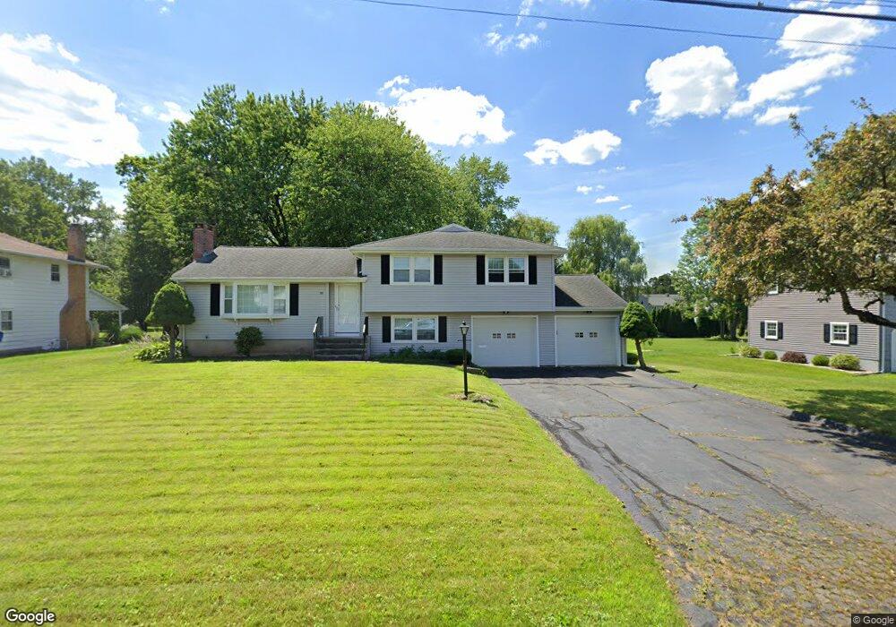
58 Sunset Blvd Wethersfield, CT 06109
Estimated Value: $373,000 - $423,000
3
Beds
2
Baths
1,270
Sq Ft
$318/Sq Ft
Est. Value
About This Home
This home is located at 58 Sunset Blvd, Wethersfield, CT 06109 and is currently estimated at $403,460, approximately $317 per square foot. 58 Sunset Blvd is a home located in Hartford County with nearby schools including Highcrest School, Silas Deane Middle School, and Wethersfield High School.
Ownership History
Date
Name
Owned For
Owner Type
Purchase Details
Closed on
Jan 10, 1995
Sold by
Kapinos Virginia P
Bought by
Allan Glenn Scott
Current Estimated Value
Home Financials for this Owner
Home Financials are based on the most recent Mortgage that was taken out on this home.
Original Mortgage
$90,000
Interest Rate
9.23%
Mortgage Type
Unknown
Create a Home Valuation Report for This Property
The Home Valuation Report is an in-depth analysis detailing your home's value as well as a comparison with similar homes in the area
Home Values in the Area
Average Home Value in this Area
Purchase History
| Date | Buyer | Sale Price | Title Company |
|---|---|---|---|
| Allan Glenn Scott | $155,000 | -- |
Source: Public Records
Mortgage History
| Date | Status | Borrower | Loan Amount |
|---|---|---|---|
| Closed | Allan Glenn Scott | $100,000 | |
| Closed | Allan Glenn Scott | $20,000 | |
| Closed | Allan Glenn Scott | $85,000 | |
| Closed | Allan Glenn Scott | $90,000 |
Source: Public Records
Tax History
| Year | Tax Paid | Tax Assessment Tax Assessment Total Assessment is a certain percentage of the fair market value that is determined by local assessors to be the total taxable value of land and additions on the property. | Land | Improvement |
|---|---|---|---|---|
| 2025 | $10,645 | $258,250 | $91,730 | $166,520 |
| 2024 | $7,684 | $177,790 | $82,600 | $95,190 |
| 2023 | $7,428 | $177,790 | $82,600 | $95,190 |
| 2022 | $7,304 | $177,790 | $82,600 | $95,190 |
| 2021 | $7,231 | $177,790 | $82,600 | $95,190 |
| 2020 | $7,234 | $177,790 | $82,600 | $95,190 |
| 2019 | $7,243 | $177,790 | $82,600 | $95,190 |
| 2018 | $7,471 | $183,200 | $80,900 | $102,300 |
| 2017 | $7,286 | $183,200 | $80,900 | $102,300 |
| 2016 | $7,061 | $183,200 | $80,900 | $102,300 |
| 2015 | $6,996 | $183,200 | $80,900 | $102,300 |
| 2014 | $6,731 | $183,200 | $80,900 | $102,300 |
Source: Public Records
Map
Nearby Homes
- 268 Fox Hill Rd
- 72 Concord Dr
- 50 Concord Dr Unit 50
- 92 Berkshire Rd
- 99 Elm Ridge Dr
- 22 Winesap Cir Unit 22
- 18 Mcintosh Cir Unit 18
- 155 Old Common Rd
- 25 Sutton Rd
- 25 Heather Hill
- 1610 Silas Deane Hwy
- 11 Charter Rd
- 5 Robeth Ln
- 9 Dogwood Ct
- 59 Chapin Ave
- 0 Collier Rd
- 101 Collier Rd
- 3 Colonial Dr Unit C
- 170 Whitewood Dr
- 89 Merriman Rd
- 64 Sunset Blvd
- 52 Sunset Blvd
- 70 Sunset Blvd
- 92 Springdale Rd
- 100 Springdale Rd
- 46 Sunset Blvd
- 53 Sunset Blvd
- 84 Springdale Rd
- 61 Sunset Blvd
- 108 Springdale Rd
- 76 Sunset Blvd
- 69 Sunset Blvd
- 76 Springdale Rd
- 116 Springdale Rd
- 36 Sunset Blvd
- 111 Cloverdale Cir
- 33 Sunset Blvd
- 77 Sunset Blvd
- 70 Springdale Rd
- 75 Cloverdale Cir
Your Personal Tour Guide
Ask me questions while you tour the home.