58 Sutton Place North Andover, MA 01845
Estimated Value: $986,369 - $1,200,000
3
Beds
3
Baths
3,538
Sq Ft
$313/Sq Ft
Est. Value
About This Home
This home is located at 58 Sutton Place, North Andover, MA 01845 and is currently estimated at $1,107,592, approximately $313 per square foot. 58 Sutton Place is a home located in Essex County with nearby schools including Franklin Elementary School, North Andover Middle School, and North Andover High School.
Ownership History
Date
Name
Owned For
Owner Type
Purchase Details
Closed on
Dec 17, 2019
Sold by
Pawlik Chester M and Pawlik Carmen
Bought by
Pawlik Ft
Current Estimated Value
Purchase Details
Closed on
Jan 1, 1979
Bought by
Pawlik Chester M and Pawlik Carmen
Create a Home Valuation Report for This Property
The Home Valuation Report is an in-depth analysis detailing your home's value as well as a comparison with similar homes in the area
Home Values in the Area
Average Home Value in this Area
Purchase History
| Date | Buyer | Sale Price | Title Company |
|---|---|---|---|
| Pawlik Ft | -- | None Available | |
| Pawlik Chester M | -- | -- |
Source: Public Records
Mortgage History
| Date | Status | Borrower | Loan Amount |
|---|---|---|---|
| Previous Owner | Pawlik Chester M | $100,000 | |
| Previous Owner | Pawlik Chester M | $465,000 | |
| Previous Owner | Pawlik Chester M | $183,500 |
Source: Public Records
Tax History Compared to Growth
Tax History
| Year | Tax Paid | Tax Assessment Tax Assessment Total Assessment is a certain percentage of the fair market value that is determined by local assessors to be the total taxable value of land and additions on the property. | Land | Improvement |
|---|---|---|---|---|
| 2025 | $9,114 | $809,400 | $394,900 | $414,500 |
| 2024 | $8,900 | $802,500 | $374,100 | $428,400 |
| 2023 | $8,452 | $690,500 | $315,900 | $374,600 |
| 2022 | $8,203 | $606,300 | $274,400 | $331,900 |
| 2021 | $8,237 | $581,300 | $249,400 | $331,900 |
| 2020 | $7,727 | $562,400 | $243,200 | $319,200 |
| 2019 | $7,542 | $562,400 | $243,200 | $319,200 |
| 2018 | $8,172 | $562,400 | $243,200 | $319,200 |
| 2017 | $8,361 | $585,500 | $222,400 | $363,100 |
| 2016 | $8,315 | $582,700 | $224,600 | $358,100 |
| 2015 | $7,763 | $539,500 | $207,800 | $331,700 |
Source: Public Records
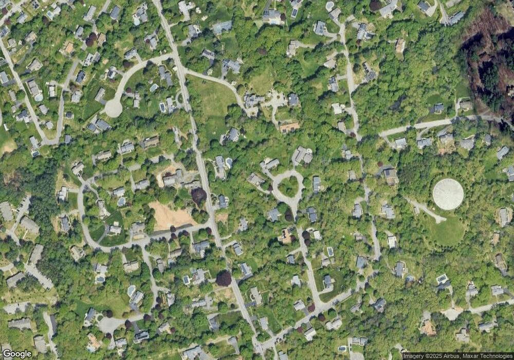
Map
Nearby Homes
- 174 Chestnut St Unit 14
- 124 Quail Run Rd
- 136 Quail Run Rd
- 80 Sandra Ln
- 76 Hillside Rd
- 124 Hillside Rd
- 479 Stevens St
- 3 Great Pond Rd
- 447 Stevens St
- 7 Kingston St
- 495 Johnson St
- 180 Chickering Rd Unit 310C
- 156 Kingston St Unit 156
- 190 Chickering Rd Unit 204D
- 88 Kingston St
- 378 Salem St
- 70 Farrwood Ave Unit 7
- 170 Haverhill St Unit 138
- 34 Rosemont Dr
- 40 Fernview Ave Unit 11
- 200 Chestnut St
- 68 Sutton Place
- 46 Sutton Place
- 188 Chestnut St
- 212 Chestnut St
- 176 Chestnut St
- 34 Sutton Place
- 63 Sutton Place
- 53 Sutton Place
- 224 Chestnut St
- 43 Sutton Place
- 39 Sutton Place
- 39 Sutton Place
- 250 Chestnut St
- 139 Quail Run Rd
- 156 Chestnut St Unit 7
- 156 Chestnut St Unit 6
- 156 Chestnut St Unit 5
- 156 Chestnut St Unit 2
- 156 Chestnut St Unit 1