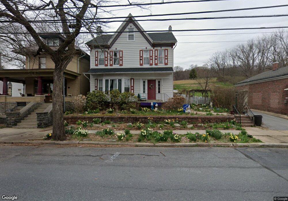
58 W Main St Adamstown, PA 19501
Estimated Value: $306,000 - $417,000
4
Beds
2
Baths
2,807
Sq Ft
$133/Sq Ft
Est. Value
About This Home
This home is located at 58 W Main St, Adamstown, PA 19501 and is currently estimated at $373,182, approximately $132 per square foot. 58 W Main St is a home located in Lancaster County with nearby schools including Cocalico Senior High School, Gehmans Mennonite School, and Trostle Hill School.
Ownership History
Date
Name
Owned For
Owner Type
Purchase Details
Closed on
Dec 17, 2010
Sold by
Lesher Kent C and Lesher Jane A
Bought by
Lesher Jason E and Lesher Carolyn R
Current Estimated Value
Home Financials for this Owner
Home Financials are based on the most recent Mortgage that was taken out on this home.
Original Mortgage
$172,000
Outstanding Balance
$122,692
Interest Rate
4.23%
Mortgage Type
Purchase Money Mortgage
Estimated Equity
$250,490
Purchase Details
Closed on
Mar 29, 2001
Sold by
Zerbe Douglas L and Zerbe Deborah S
Bought by
Lindermuth Kelly G and Lindermuth Lisa R
Home Financials for this Owner
Home Financials are based on the most recent Mortgage that was taken out on this home.
Original Mortgage
$80,620
Interest Rate
6.96%
Create a Home Valuation Report for This Property
The Home Valuation Report is an in-depth analysis detailing your home's value as well as a comparison with similar homes in the area
Home Values in the Area
Average Home Value in this Area
Purchase History
| Date | Buyer | Sale Price | Title Company |
|---|---|---|---|
| Lesher Jason E | $172,000 | None Available | |
| Lindermuth Kelly G | $84,900 | First American Title Ins Co |
Source: Public Records
Mortgage History
| Date | Status | Borrower | Loan Amount |
|---|---|---|---|
| Open | Lesher Jason E | $172,000 | |
| Closed | Lindermuth Kelly G | $80,620 |
Source: Public Records
Tax History Compared to Growth
Tax History
| Year | Tax Paid | Tax Assessment Tax Assessment Total Assessment is a certain percentage of the fair market value that is determined by local assessors to be the total taxable value of land and additions on the property. | Land | Improvement |
|---|---|---|---|---|
| 2025 | $5,498 | $218,600 | $63,900 | $154,700 |
| 2024 | $5,498 | $218,600 | $63,900 | $154,700 |
| 2023 | $5,371 | $218,600 | $63,900 | $154,700 |
| 2022 | $5,230 | $218,600 | $63,900 | $154,700 |
| 2021 | $5,230 | $218,600 | $63,900 | $154,700 |
| 2020 | $5,230 | $218,600 | $63,900 | $154,700 |
| 2019 | $5,169 | $218,600 | $63,900 | $154,700 |
| 2018 | $3,905 | $218,600 | $63,900 | $154,700 |
| 2017 | $4,631 | $159,400 | $27,100 | $132,300 |
| 2016 | $4,631 | $159,400 | $27,100 | $132,300 |
| 2015 | $994 | $159,400 | $27,100 | $132,300 |
| 2014 | $3,379 | $159,400 | $27,100 | $132,300 |
Source: Public Records
Map
Nearby Homes
- 102 Evergreen Rd
- 93 E Main St
- 2145 Old Lancaster Pike
- 122 Witmer Rd
- 303 W Swartzville Rd
- 82 Scenic Dr
- 770 Mohns Hill Rd
- 17 W Kestrel Dr
- 17 Sanderling Dr
- 13 Sanderling Dr
- 44 S Muddy Creek Rd
- 297 Orchard Rd
- 20 Hill Rd
- 310 Mail Route Rd
- 211 Kocher Rd
- 136 Martin Dr
- 375 Lausch Rd
- 270 Gouglersville Rd
- 256 W Valley Rd
- 27 Lausch Rd