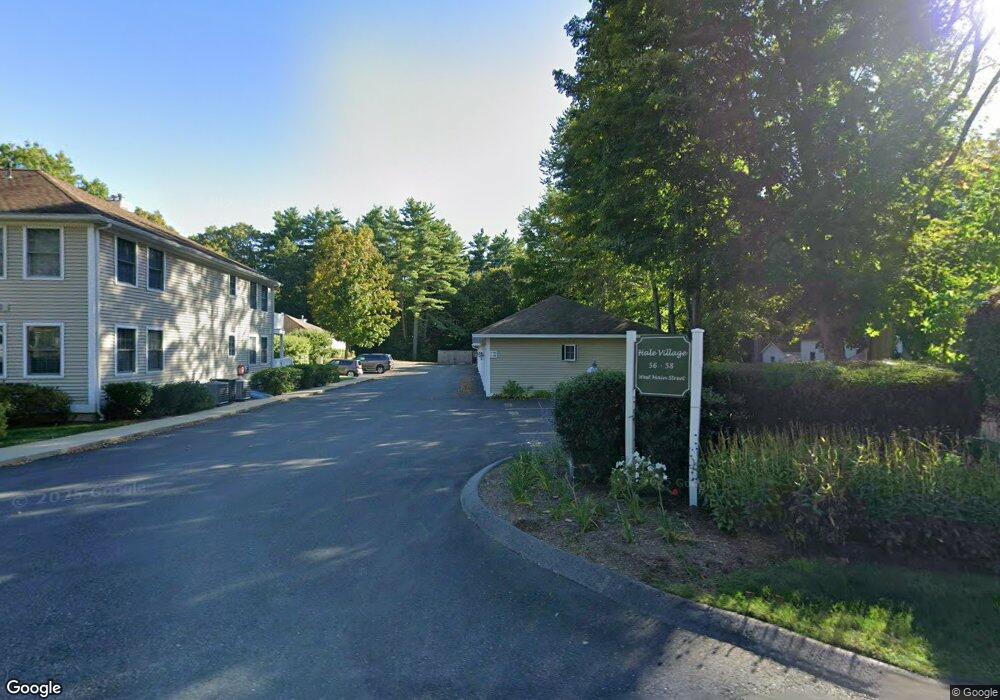
58 W Main St Unit D Groton, MA 01450
Estimated Value: $421,944 - $472,000
2
Beds
2
Baths
1,175
Sq Ft
$376/Sq Ft
Est. Value
About This Home
This home is located at 58 W Main St Unit D, Groton, MA 01450 and is currently estimated at $441,236, approximately $375 per square foot. 58 W Main St Unit D is a home located in Middlesex County with nearby schools including Groton Dunstable Regional High School, Groton Community School, and Seven Hills At Groton.
Ownership History
Date
Name
Owned For
Owner Type
Purchase Details
Closed on
Sep 22, 2022
Sold by
Devoll Peter A and Devoll Margaret E
Bought by
Devoll Andrew and Devoll Christopher
Current Estimated Value
Purchase Details
Closed on
Aug 3, 2022
Sold by
Mcauliffe Ft
Bought by
Devoll Peter A and Devoll Margaret E
Purchase Details
Closed on
Jan 25, 2010
Sold by
Mcauliffe Eugene V
Bought by
Mcauliffe Ft and Mcauliffe
Purchase Details
Closed on
Dec 20, 2004
Sold by
Paulson Carol I
Bought by
Mcauliffe Eugene V and Mcauliffe Nancy B
Create a Home Valuation Report for This Property
The Home Valuation Report is an in-depth analysis detailing your home's value as well as a comparison with similar homes in the area
Home Values in the Area
Average Home Value in this Area
Purchase History
| Date | Buyer | Sale Price | Title Company |
|---|---|---|---|
| Devoll Andrew | -- | None Available | |
| Devoll Andrew | -- | None Available | |
| Devoll Peter A | $360,000 | None Available | |
| Devoll Peter A | $360,000 | None Available | |
| Mcauliffe Ft | -- | -- | |
| Mcauliffe Ft | -- | -- | |
| Mcauliffe Eugene V | $279,000 | -- | |
| Mcauliffe Eugene | $279,000 | -- |
Source: Public Records
Tax History Compared to Growth
Tax History
| Year | Tax Paid | Tax Assessment Tax Assessment Total Assessment is a certain percentage of the fair market value that is determined by local assessors to be the total taxable value of land and additions on the property. | Land | Improvement |
|---|---|---|---|---|
| 2025 | $6,170 | $404,600 | $0 | $404,600 |
| 2024 | $4,842 | $320,900 | $0 | $320,900 |
| 2023 | $3,880 | $248,100 | $0 | $248,100 |
| 2022 | $3,735 | $217,300 | $0 | $217,300 |
| 2021 | $3,675 | $208,800 | $0 | $208,800 |
| 2020 | $3,629 | $208,800 | $0 | $208,800 |
| 2019 | $3,171 | $175,100 | $0 | $175,100 |
| 2018 | $3,269 | $175,100 | $0 | $175,100 |
| 2017 | $3,185 | $174,400 | $0 | $174,400 |
| 2016 | $3,311 | $176,300 | $0 | $176,300 |
| 2015 | $3,221 | $176,300 | $0 | $176,300 |
Source: Public Records
Map
Nearby Homes
- 65 W Main St
- 55 W Main St
- 37 Pepperell Rd
- 59 Squannacook Rd
- 43 Longley Rd
- 111 Squannacook Rd
- 346 Townsend Rd
- 354 Townsend Rd
- 22 Townsend Rd
- 49 Parker Rd
- 147 Shirley St
- 124 Hazen Rd
- 111 Farmers Row
- 84 Off Groton School Rd
- 521 Main St Unit D
- 7a Lilac Cir Unit B
- 44 Nod Rd
- 21 Magnolia Ln
- 436 Main St
- 49 Magnolia Ln Unit 49
- 58 W Main St Unit 102
- 56 W Main St Unit B
- 56 W Main St Unit A
- 58 W Main St Unit H
- 58 W Main St Unit G
- 58 W Main St Unit F
- 58 W Main St Unit E
- 58 W Main St Unit C
- 58 W Main St Unit B
- 58 W Main St Unit A
- 58 W Main St Unit F202
- 58 W Main St Unit 202F
- 58 W Main St Unit 204H
- 58 W Main St Unit 201E
- 58 W Main St Unit 101
- 58 W Main St Unit D 104
- 58 W Main St Unit 203
- 64 W Main St
- 54 W Main St
- 68 W Main St