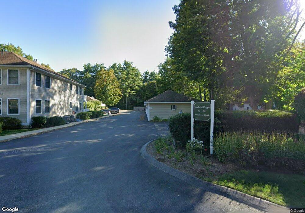
58 W Main St Unit E Groton, MA 01450
Estimated Value: $392,000 - $416,000
2
Beds
2
Baths
1,104
Sq Ft
$365/Sq Ft
Est. Value
About This Home
This home is located at 58 W Main St Unit E, Groton, MA 01450 and is currently estimated at $402,890, approximately $364 per square foot. 58 W Main St Unit E is a home located in Middlesex County with nearby schools including Groton Dunstable Regional High School, Groton Community School, and Seven Hills At Groton.
Ownership History
Date
Name
Owned For
Owner Type
Purchase Details
Closed on
Sep 29, 2009
Sold by
Fontaine Robert
Bought by
Killeen Jane
Current Estimated Value
Purchase Details
Closed on
Jan 30, 1995
Sold by
Chernov Paul R
Bought by
58 West Main St Rt and Eliades S Tracy
Home Financials for this Owner
Home Financials are based on the most recent Mortgage that was taken out on this home.
Original Mortgage
$95,000
Interest Rate
9.24%
Mortgage Type
Purchase Money Mortgage
Create a Home Valuation Report for This Property
The Home Valuation Report is an in-depth analysis detailing your home's value as well as a comparison with similar homes in the area
Home Values in the Area
Average Home Value in this Area
Purchase History
| Date | Buyer | Sale Price | Title Company |
|---|---|---|---|
| Killeen Jane | $162,500 | -- | |
| Killeen Jane | $162,500 | -- | |
| 58 West Main St Rt | $115,000 | -- |
Source: Public Records
Mortgage History
| Date | Status | Borrower | Loan Amount |
|---|---|---|---|
| Previous Owner | 58 West Main St Rt | $937,100 | |
| Previous Owner | 58 West Main St Rt | $160,000 | |
| Previous Owner | 58 West Main St Rt | $95,000 |
Source: Public Records
Tax History
| Year | Tax Paid | Tax Assessment Tax Assessment Total Assessment is a certain percentage of the fair market value that is determined by local assessors to be the total taxable value of land and additions on the property. | Land | Improvement |
|---|---|---|---|---|
| 2025 | $5,766 | $378,100 | $0 | $378,100 |
| 2024 | $4,527 | $300,000 | $0 | $300,000 |
| 2023 | $3,630 | $232,100 | $0 | $232,100 |
| 2022 | $3,486 | $202,800 | $0 | $202,800 |
| 2021 | $3,425 | $194,600 | $0 | $194,600 |
| 2020 | $3,382 | $194,600 | $0 | $194,600 |
| 2019 | $2,957 | $163,300 | $0 | $163,300 |
| 2018 | $3,049 | $163,300 | $0 | $163,300 |
| 2017 | $3,066 | $167,900 | $0 | $167,900 |
| 2016 | $3,187 | $169,700 | $0 | $169,700 |
| 2015 | $3,100 | $169,700 | $0 | $169,700 |
Source: Public Records
Map
Nearby Homes
- 44 Squannacook Rd
- 15 Hayes Woods Ln
- 8 Bradley Dr Unit A
- 26 Bradley Dr Unit D
- 43 Longley Rd
- 92 Squannacook Rd
- Lot 3 Maple Ave
- 111 Squannacook Rd
- 17 Longley Rd
- 26 Bluebird Ln
- 105 Townsend Rd Unit 1
- 24 Townsend Rd
- 22 Townsend Rd
- Lot 5 Townsend Rd
- 53 Throne Hill Rd
- 124 Hazen Rd
- 104 Mill St
- 9 Spaulding Rd
- 111 Farmers Row
- 519 Main St Unit D
- 58 W Main St Unit 102
- 56 W Main St Unit B
- 56 W Main St Unit A
- 58 W Main St Unit H
- 58 W Main St Unit G
- 58 W Main St Unit F
- 58 W Main St Unit D
- 58 W Main St Unit C
- 58 W Main St Unit B
- 58 W Main St Unit A
- 58 W Main St Unit F202
- 58 W Main St Unit 202F
- 58 W Main St Unit 204H
- 58 W Main St Unit 201E
- 58 W Main St Unit 101
- 58 W Main St Unit D 104
- 58 W Main St Unit 203
- 64 W Main St
- 54 W Main St
- 68 W Main St
Your Personal Tour Guide
Ask me questions while you tour the home.