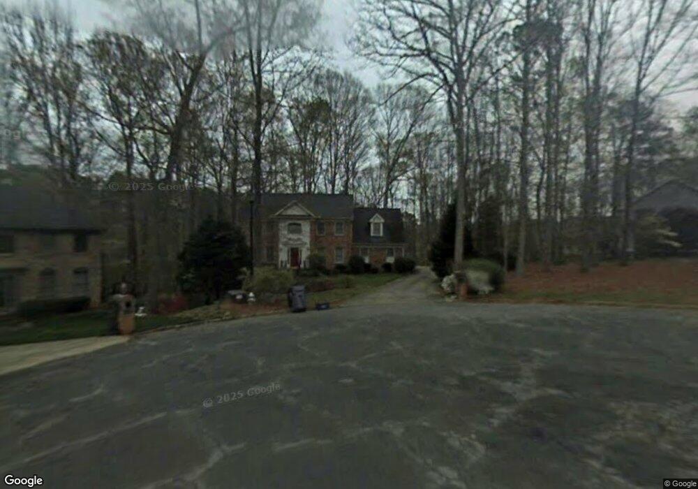
580 Brandi Ln Unit 4 Lawrenceville, GA 30044
Estimated Value: $462,000 - $521,000
4
Beds
3
Baths
3,102
Sq Ft
$157/Sq Ft
Est. Value
About This Home
This home is located at 580 Brandi Ln Unit 4, Lawrenceville, GA 30044 and is currently estimated at $488,303, approximately $157 per square foot. 580 Brandi Ln Unit 4 is a home located in Gwinnett County with nearby schools including Gwin Oaks Elementary School, Five Forks Middle School, and Brookwood High School.
Ownership History
Date
Name
Owned For
Owner Type
Purchase Details
Closed on
May 27, 2003
Sold by
Pertrush John M and Pertrush Mary K
Bought by
Roberts Dale and Roberts Donna
Current Estimated Value
Home Financials for this Owner
Home Financials are based on the most recent Mortgage that was taken out on this home.
Original Mortgage
$150,000
Outstanding Balance
$65,230
Interest Rate
5.68%
Mortgage Type
New Conventional
Estimated Equity
$423,073
Create a Home Valuation Report for This Property
The Home Valuation Report is an in-depth analysis detailing your home's value as well as a comparison with similar homes in the area
Home Values in the Area
Average Home Value in this Area
Purchase History
| Date | Buyer | Sale Price | Title Company |
|---|---|---|---|
| Roberts Dale | $245,000 | -- |
Source: Public Records
Mortgage History
| Date | Status | Borrower | Loan Amount |
|---|---|---|---|
| Open | Roberts Dale | $150,000 |
Source: Public Records
Tax History Compared to Growth
Tax History
| Year | Tax Paid | Tax Assessment Tax Assessment Total Assessment is a certain percentage of the fair market value that is determined by local assessors to be the total taxable value of land and additions on the property. | Land | Improvement |
|---|---|---|---|---|
| 2024 | $5,235 | $190,560 | $30,000 | $160,560 |
| 2023 | $5,235 | $181,760 | $33,200 | $148,560 |
| 2022 | $4,636 | $163,040 | $33,200 | $129,840 |
| 2021 | $3,854 | $122,080 | $24,000 | $98,080 |
| 2020 | $3,882 | $122,080 | $24,000 | $98,080 |
| 2019 | $3,787 | $122,080 | $24,000 | $98,080 |
| 2018 | $3,568 | $111,680 | $20,400 | $91,280 |
| 2016 | $3,188 | $93,160 | $20,400 | $72,760 |
| 2015 | $2,687 | $71,320 | $8,000 | $63,320 |
| 2014 | $2,701 | $71,320 | $8,000 | $63,320 |
Source: Public Records
Map
Nearby Homes
- 608 Pamela Ct Unit 1
- 2926 Matthew Ln
- 2976 Matthew Ln
- 2798 Hutchins Rd
- 2853 Franklin Rd
- 2701 Thatcher Ct
- 2980 Brandon Walk Ln
- 1349 Oak Rd SW
- 2535 Winthrope Way
- 793 Chesterfield Dr
- 2770 Longacre Park Way
- 506 Ridgedale Way
- 2998 Hutchins Rd
- 2740 Longacre Park Way
- 689 Roxboro Ct
- 3123 Westbrook Trace
- 2577 Glen Cir
- 571 Brandi Ln
- 585 Rose Hill Ln
- 465 Rose Hill Ln
- 505 Rose Hill Ln
- 525 Rose Hill Ln
- 570 Rose Hill Ln
- 535 Rose Hill Ln Unit 13
- 495 Rose Hill Ln Unit 17
- 580 Rose Hill Ln Unit 26
- 565 Rose Hill Ln Unit 10
- 475 Rose Hill Ln Unit 19
- 570 Rose Hill Ln Unit 25
- 485 Rose Hill Ln
- 515 Rose Hill Ln Unit 15
- 515 Rosehill Ln
- 590 Rose Hill Ln
- 590 Rose Hill Ln Unit 27
- 580 Rosehill Ln Unit 26
- 545 Rose Hill Ln Unit 12
- 545 Rose Hill Ln