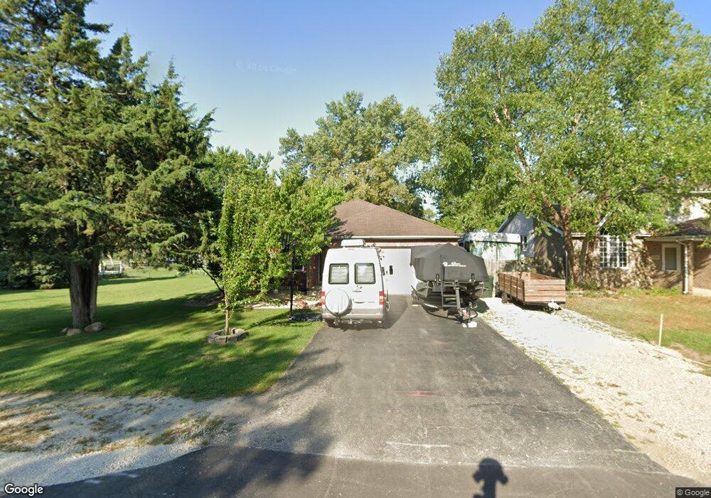
580 N 2nd Ave Coal City, IL 60416
Estimated Value: $283,588 - $305,000
3
Beds
--
Bath
1,659
Sq Ft
$178/Sq Ft
Est. Value
About This Home
This home is located at 580 N 2nd Ave, Coal City, IL 60416 and is currently estimated at $295,147, approximately $177 per square foot. 580 N 2nd Ave is a home with nearby schools including Coal City Elementary School, Coal City Intermediate School, and Coal City Middle School.
Ownership History
Date
Name
Owned For
Owner Type
Purchase Details
Closed on
Jun 6, 2024
Sold by
Barrus James S and Barrus Jessica M
Bought by
Barrus Family Revocable Living Trust and Barrus
Current Estimated Value
Create a Home Valuation Report for This Property
The Home Valuation Report is an in-depth analysis detailing your home's value as well as a comparison with similar homes in the area
Home Values in the Area
Average Home Value in this Area
Purchase History
| Date | Buyer | Sale Price | Title Company |
|---|---|---|---|
| Barrus Family Revocable Living Trust | -- | None Listed On Document |
Source: Public Records
Tax History Compared to Growth
Tax History
| Year | Tax Paid | Tax Assessment Tax Assessment Total Assessment is a certain percentage of the fair market value that is determined by local assessors to be the total taxable value of land and additions on the property. | Land | Improvement |
|---|---|---|---|---|
| 2024 | $6,065 | $82,627 | $8,501 | $74,126 |
| 2023 | $5,674 | $77,301 | $7,953 | $69,348 |
| 2022 | $4,482 | $67,063 | $7,450 | $59,613 |
| 2021 | $4,290 | $63,387 | $7,042 | $56,345 |
| 2020 | $4,195 | $62,114 | $6,901 | $55,213 |
| 2019 | $3,891 | $58,598 | $6,510 | $52,088 |
| 2018 | $3,855 | $58,849 | $6,522 | $52,327 |
| 2017 | $3,609 | $56,722 | $6,286 | $50,436 |
| 2016 | $3,551 | $56,310 | $6,240 | $50,070 |
| 2015 | $3,244 | $54,448 | $6,034 | $48,414 |
| 2014 | $3,186 | $53,580 | $5,938 | $47,642 |
| 2013 | $3,203 | $54,590 | $6,050 | $48,540 |
Source: Public Records
Map
Nearby Homes
- 540 N 1st Ave
- 295 N Lincoln St
- Lot 2 Mcardle Rd
- Lot 6 Mcardle Rd
- Lot 1 Mcardle Rd
- Lot 3 Mcardle Rd
- Lot 5 Mcardle Rd
- Lot 4 Mcardle Rd
- 395 N Kankakee St
- 105 N Kankakee St
- 0 E Division St Unit MRD12083414
- 1060 Regent Ct
- 385 S Kankakee St
- 110 Kevin Dr
- 120 Kevin Dr
- 210 Kevin Dr
- 1915 E Clark St
- 11 Aqueduct Dr
- 310 W Oak St
- 573-585 S Mazon St