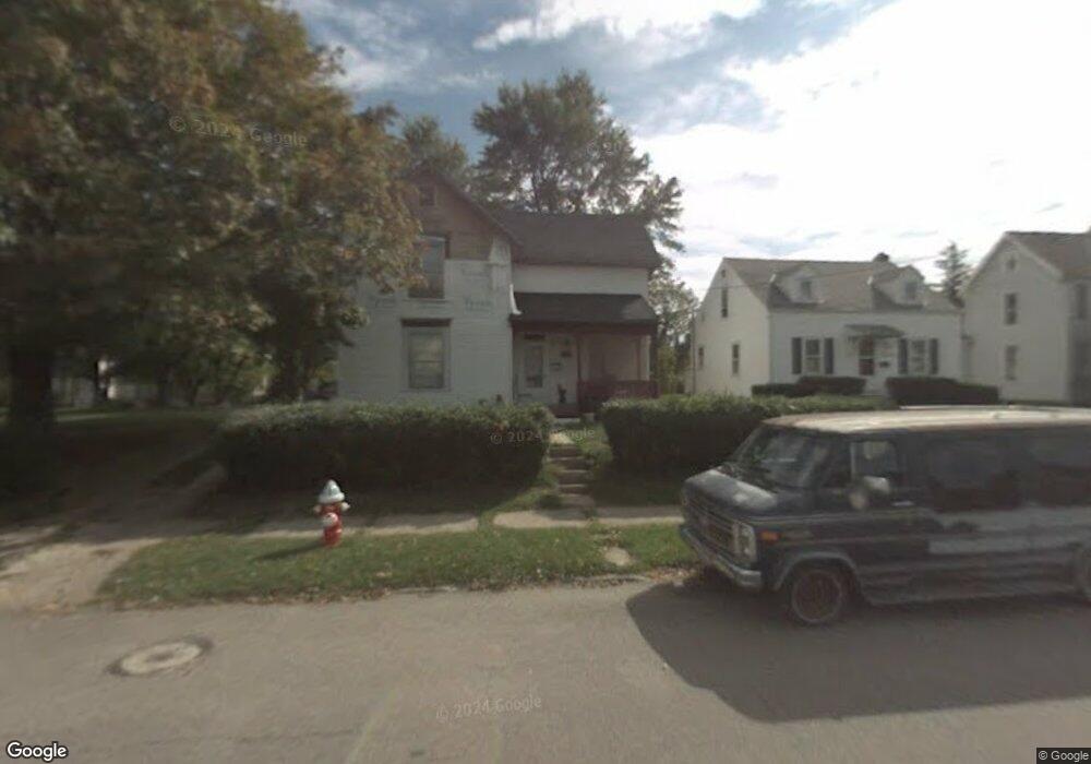
580 N Mulberry St Mansfield, OH 44902
Estimated Value: $87,000 - $144,000
3
Beds
1
Bath
1,824
Sq Ft
$61/Sq Ft
Est. Value
About This Home
This home is located at 580 N Mulberry St, Mansfield, OH 44902 and is currently estimated at $111,415, approximately $61 per square foot. 580 N Mulberry St is a home located in Richland County with nearby schools including Goal Digital Academy, St. Peter's Elementary/Montessori School, and St. Peter's High School/Junior High.
Ownership History
Date
Name
Owned For
Owner Type
Purchase Details
Closed on
Aug 15, 2007
Sold by
Scott John A
Bought by
Jones Fount
Current Estimated Value
Purchase Details
Closed on
Apr 29, 2003
Sold by
Linzy Ronald A and Smith Daniel F
Bought by
Scott John A
Purchase Details
Closed on
Jan 18, 1991
Bought by
Linzy Ronald A
Purchase Details
Closed on
Feb 1, 1987
Create a Home Valuation Report for This Property
The Home Valuation Report is an in-depth analysis detailing your home's value as well as a comparison with similar homes in the area
Home Values in the Area
Average Home Value in this Area
Purchase History
| Date | Buyer | Sale Price | Title Company |
|---|---|---|---|
| Jones Fount | $3,900 | Barrister Title | |
| Scott John A | $3,119 | Chicago Title | |
| Linzy Ronald A | -- | -- | |
| -- | $13,500 | -- |
Source: Public Records
Tax History Compared to Growth
Tax History
| Year | Tax Paid | Tax Assessment Tax Assessment Total Assessment is a certain percentage of the fair market value that is determined by local assessors to be the total taxable value of land and additions on the property. | Land | Improvement |
|---|---|---|---|---|
| 2024 | $997 | $20,270 | $1,790 | $18,480 |
| 2023 | $949 | $20,270 | $1,790 | $18,480 |
| 2022 | $506 | $9,050 | $1,620 | $7,430 |
| 2021 | $509 | $9,050 | $1,620 | $7,430 |
| 2020 | $521 | $9,050 | $1,620 | $7,430 |
| 2019 | $577 | $9,050 | $1,620 | $7,430 |
| 2018 | $569 | $9,050 | $1,620 | $7,430 |
| 2017 | $480 | $9,050 | $1,620 | $7,430 |
| 2016 | $507 | $8,030 | $2,570 | $5,460 |
| 2015 | $507 | $8,030 | $2,570 | $5,460 |
| 2014 | $478 | $8,030 | $2,570 | $5,460 |
| 2012 | $364 | $8,030 | $2,710 | $5,320 |
Source: Public Records
Map
Nearby Homes
- 526 Bowman St
- 452 Daisy St
- 156 Buckingham Ave Unit 158
- 283 Bulkley Ave
- 743 Bowman St
- 371 Bell St
- 0 Voegele Ave Unit Lot 6048, 6049, 6
- 426 Mcpherson St
- 0 Highway 30
- 458 Wayne St
- 512 Burns St
- 346 Newman St
- 362-364 W 6th St
- 169 W 5th St
- 219 W 5th St
- 282 W 5th St
- 311 Auburn St
- 411 Grace St
- 0 State Route 314 Unit 9067316
- 0 State Route 314 Unit 225021979
- 570 N Mulberry St
- 584 N Mulberry St
- 564 N Mulberry St
- 112 Chester Ave
- 565 Daisy St
- 571 Daisy St
- 561 Daisy St
- 114 Raymond Ave
- 110 Chester Ave
- 577 N Mulberry St
- 581 N Mulberry St
- 569 N Mulberry St
- 575 Daisy St
- 118 Raymond Ave
- 556 N Mulberry St
- 563 N Mulberry St
- 102 Raymond Ave
- 553 Daisy St
- 559 N Mulberry St
- 548 N Mulberry St