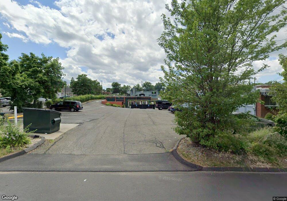
580 Silas Deane Hwy Wethersfield, CT 06109
Estimated Value: $1,393,768
Studio
--
Bath
4,792
Sq Ft
$291/Sq Ft
Est. Value
About This Home
This home is located at 580 Silas Deane Hwy, Wethersfield, CT 06109 and is currently estimated at $1,393,768, approximately $290 per square foot. 580 Silas Deane Hwy is a home located in Hartford County with nearby schools including Alfred W. Hanmer School, Silas Deane Middle School, and Wethersfield High School.
Ownership History
Date
Name
Owned For
Owner Type
Purchase Details
Closed on
Apr 4, 2016
Sold by
580 Silas Llc
Bought by
Golden Sky Llc
Current Estimated Value
Home Financials for this Owner
Home Financials are based on the most recent Mortgage that was taken out on this home.
Original Mortgage
$291,000
Interest Rate
5%
Mortgage Type
Commercial
Purchase Details
Closed on
Mar 14, 2011
Sold by
Gll Llc
Bought by
580 Silas Llc
Home Financials for this Owner
Home Financials are based on the most recent Mortgage that was taken out on this home.
Original Mortgage
$465,000
Interest Rate
4.83%
Mortgage Type
Commercial
Purchase Details
Closed on
Dec 30, 2002
Sold by
Wilson Thomas R
Bought by
Flower Box Llc
Create a Home Valuation Report for This Property
The Home Valuation Report is an in-depth analysis detailing your home's value as well as a comparison with similar homes in the area
Home Values in the Area
Average Home Value in this Area
Purchase History
| Date | Buyer | Sale Price | Title Company |
|---|---|---|---|
| Golden Sky Llc | $716,000 | -- | |
| 580 Silas Llc | $635,000 | -- | |
| Flower Box Llc | $310,000 | -- |
Source: Public Records
Mortgage History
| Date | Status | Borrower | Loan Amount |
|---|---|---|---|
| Closed | Flower Box Llc | $291,000 | |
| Previous Owner | Flower Box Llc | $465,000 | |
| Previous Owner | Flower Box Llc | $375,000 |
Source: Public Records
Tax History
| Year | Tax Paid | Tax Assessment Tax Assessment Total Assessment is a certain percentage of the fair market value that is determined by local assessors to be the total taxable value of land and additions on the property. | Land | Improvement |
|---|---|---|---|---|
| 2025 | $22,807 | $553,310 | $203,000 | $350,310 |
| 2024 | $21,496 | $497,360 | $175,000 | $322,360 |
| 2023 | $20,780 | $497,360 | $175,000 | $322,360 |
| 2022 | $20,432 | $497,360 | $175,000 | $322,360 |
| 2021 | $20,228 | $497,360 | $175,000 | $322,360 |
| 2020 | $20,238 | $497,360 | $175,000 | $322,360 |
| 2019 | $20,262 | $497,360 | $175,000 | $322,360 |
| 2018 | $17,438 | $427,600 | $136,800 | $290,800 |
| 2017 | $17,006 | $427,600 | $136,800 | $290,800 |
| 2016 | $16,480 | $427,600 | $136,800 | $290,800 |
| 2015 | $16,330 | $427,600 | $136,800 | $290,800 |
| 2014 | $15,710 | $427,600 | $136,800 | $290,800 |
Source: Public Records
Map
Nearby Homes
- 87 Somerset St
- 91 Somerset St
- 1 Fernwood St
- 35 Stillwold Dr
- 317 Garden St Unit 319
- 108 Chamberlain Rd
- 119 Coleman Rd
- 18 Avalon Place
- 493 Main St
- 195 Middletown Ave
- 137 Dale Rd
- 116 Wells Farm Dr
- 219 Jordan Ln Unit 221
- 38 Wheeler Rd
- 31 Ox Yoke Dr
- 455 Brimfield Rd
- 89 Merriman Rd
- 704 Franklin Ave
- 90 Goodwin Park Rd
- 19 Albert Ave
- 61 Beaver Rd Unit 1
- 554 Silas Deane Hwy Unit A12
- 554 Silas Deane Hwy Unit B6
- 554 Silas Deane Hwy
- 60 Beaver Rd
- 620 Silas Deane Hwy
- 80 Somerset St
- 78 Beaver Rd
- 76 Somerset St
- 72 Somerset St
- 530 Silas Deane Hwy
- 83 Somerset St
- 526 Silas Deane Hwy
- 79 Somerset St
- 68 Somerset St
- 45 Deerfield Rd
- 75 Somerset St
- 64 Somerset St
- 41 Deerfield Rd
- 120 Belcher Rd
Your Personal Tour Guide
Ask me questions while you tour the home.